The Solway 1940s & 1950s Cloth mounted Maps Sheet 38. Incl. Carlisle, Penrith, Dumfries.
The Solway 1940s & 1950s Cloth mounted Maps Sheet 38. Incl. Carlisle, Penrith, Dumfries.
Regular price
£5.50
Regular price
Sale price
£5.50
Unit price
per
Tax included.
Shipping calculated at checkout.
Couldn't load pickup availability
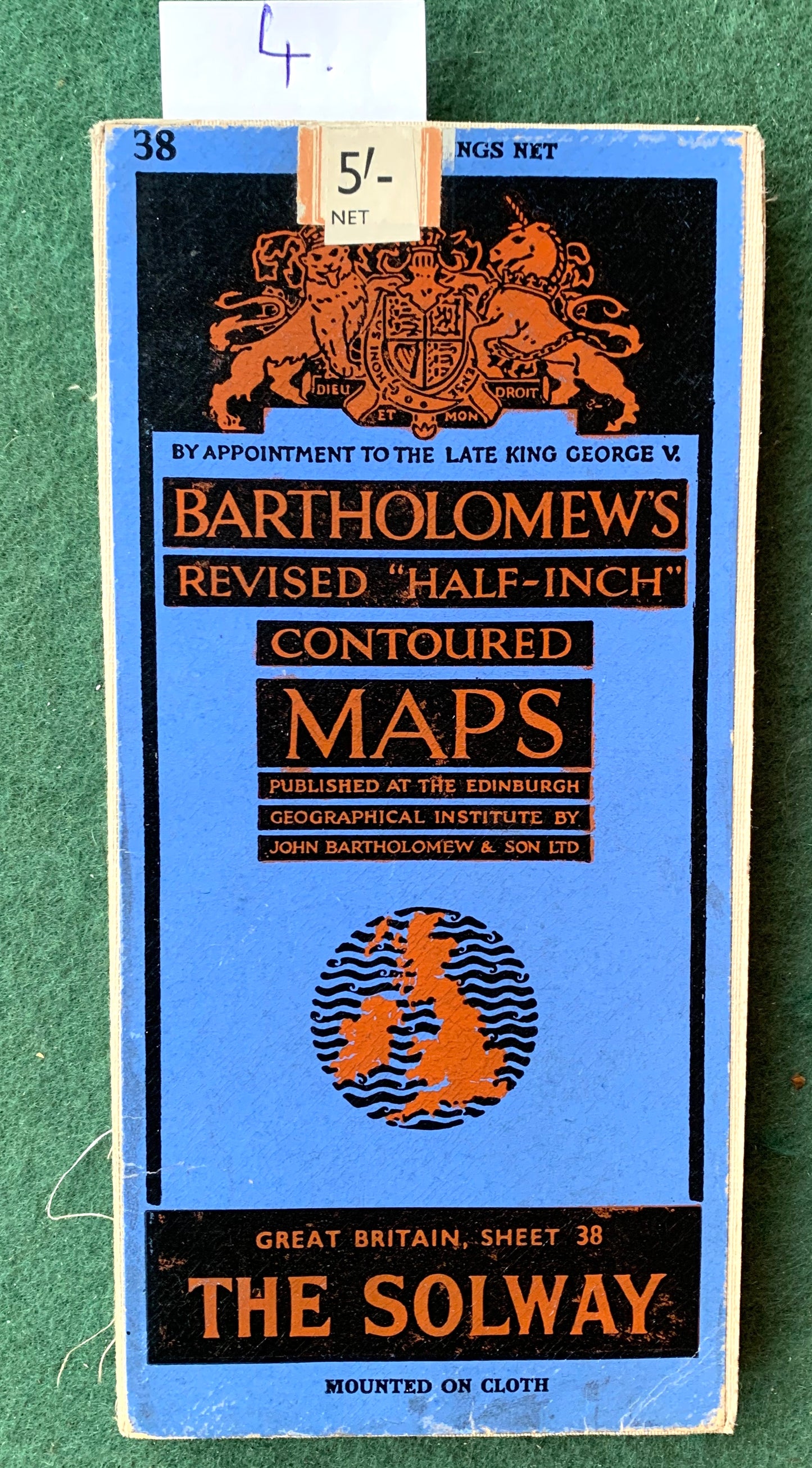
Bartholomew’s Revised "Half-Inch" Contoured Map of The Solway Sheet 38
Covering the area around The Solway in both England and Scotland.
Penrith, Maryport, Silloth, Dumfies, Carlisle, Langholm, Haltwhistle and all points in between.
I have 4 of these maps all mounted on cloth.
Map 1. 1959.
Foxing and a few notes on the edges, some wear at folds
Its the map in the photo of the full map
Map 2. 1947
Some wear at folds and joins.
Map 3. 1959
Excellent condition, shows aerodromes and radio stations
Map 4. 1946
Excellent condition.