Detailed 1940s to 60s Maps of Wye Valley incl. Cheltenham, Gloucester, Stroud.
Detailed 1940s to 60s Maps of Wye Valley incl. Cheltenham, Gloucester, Stroud.
Couldn't load pickup availability
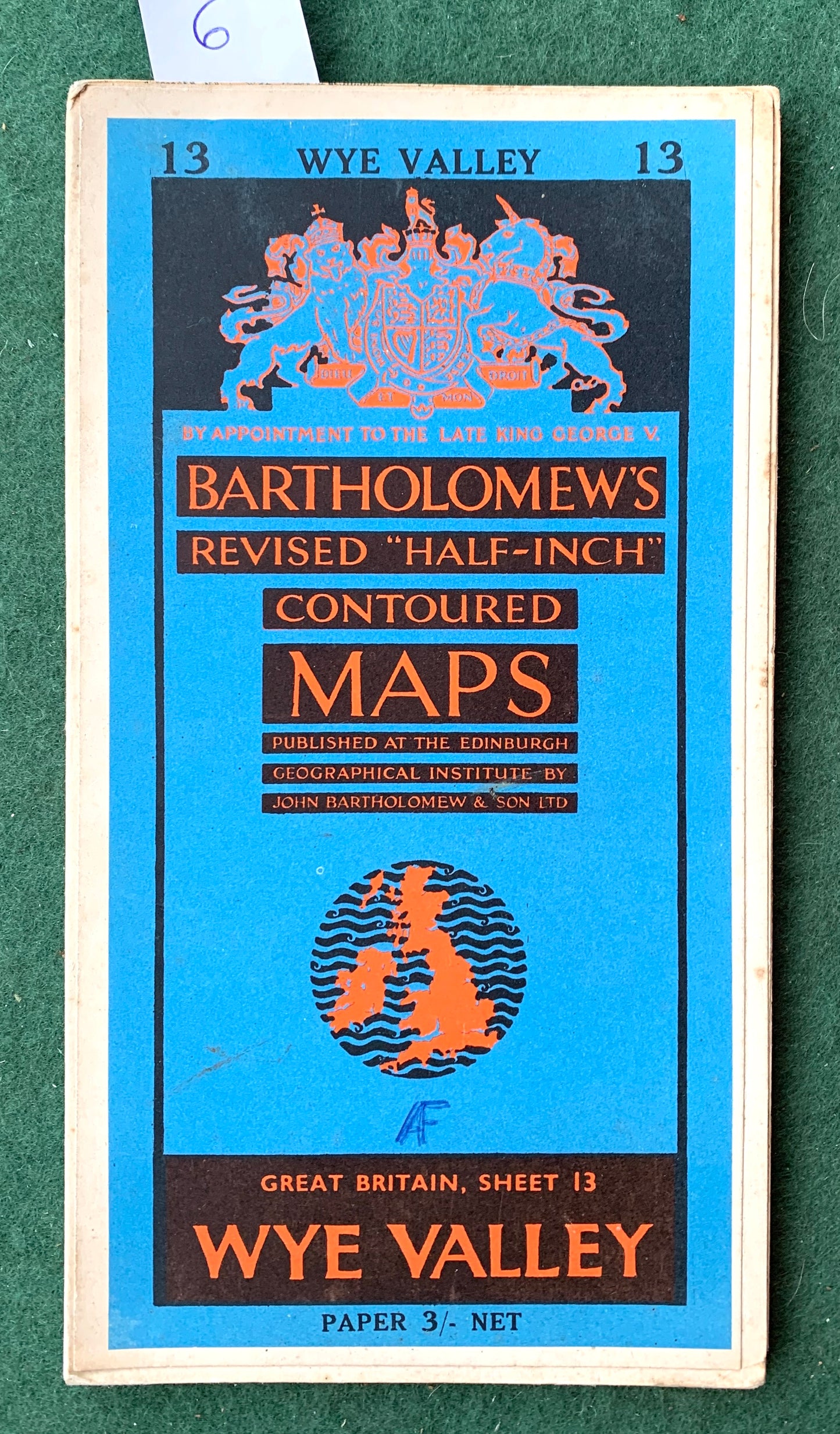
Bartholomew’s Revised "Half-Inch" Contoured Map of Wye Valley Sheet 13
Richly detailed maps of the Wye Valley
Including Aerodromes, Radio Stations, Railway Stations, Golf Courses, Youth Hostels, Canals, Hospitals, Schools, Stately Homes and lots more fascinating long gone features.
The map covers Malmesbury, Newport, Caerphilly, Llanddetty, Hereford, Tewkesbuty, Cheltenham, Gloucester, Cirencester, Stroud, and all points in between.
I have 7 copies of this map, 1- 5 mounted on cloth, 6 and 7 on paper.
Below are dates (if shown on map) and condition of the 7 maps I have.
Map 1. 1955
Mounted on Cloth
Some wear at the joins of the folds
Map 2. 1948
Mounted on Cloth
Some wear at the joins of the folds
Map 3. 1940s
Mounted on Cloth
Excellent condition
Map 4. 1951
Mounted on Cloth
Some wear along folds
Map 5. 1940s
Mounted on Cloth
Good condition, some wear at folds
Map 6. 1961
Paper
Good condition, few holes at joins of folds.
Map 7. 1963
Paper
Good condition, foxing at edges, few holes at joins of folds.