Very Interesting 1950s and 60s ORDNANCE SURVEY MAPs of N.E LONDON into Hertfordshire & Essex 1" to 1 Mile
Very Interesting 1950s and 60s ORDNANCE SURVEY MAPs of N.E LONDON into Hertfordshire & Essex 1" to 1 Mile
Couldn't load pickup availability
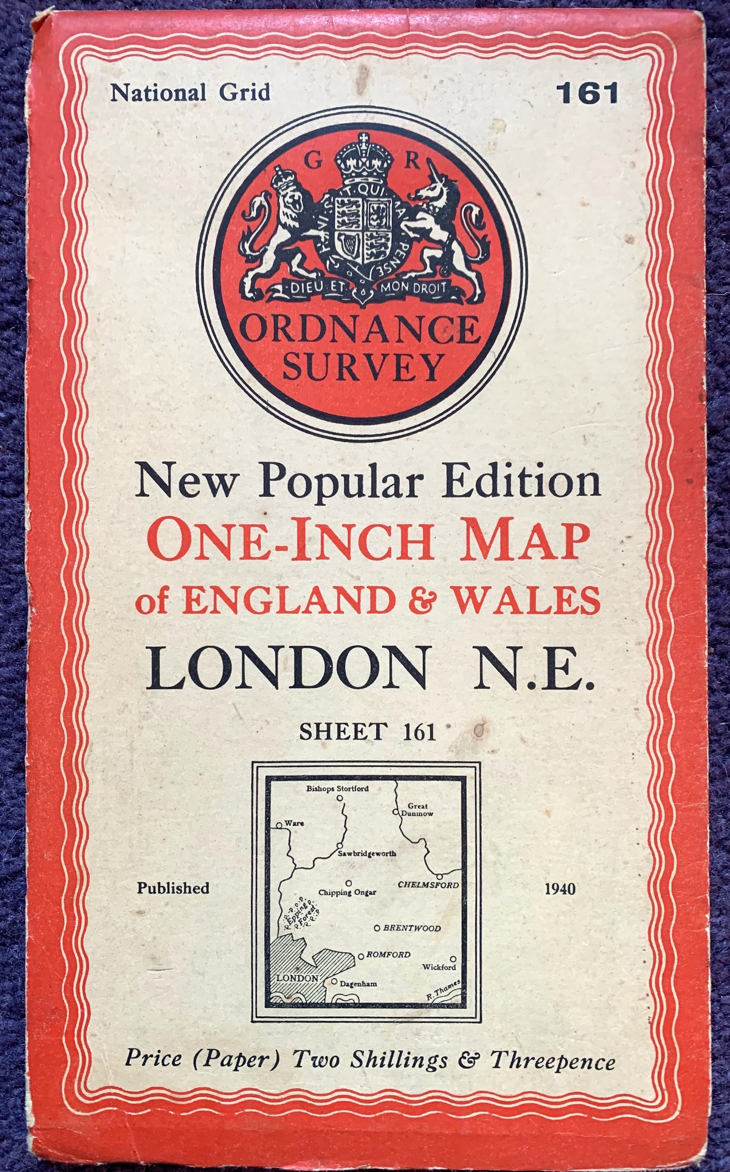
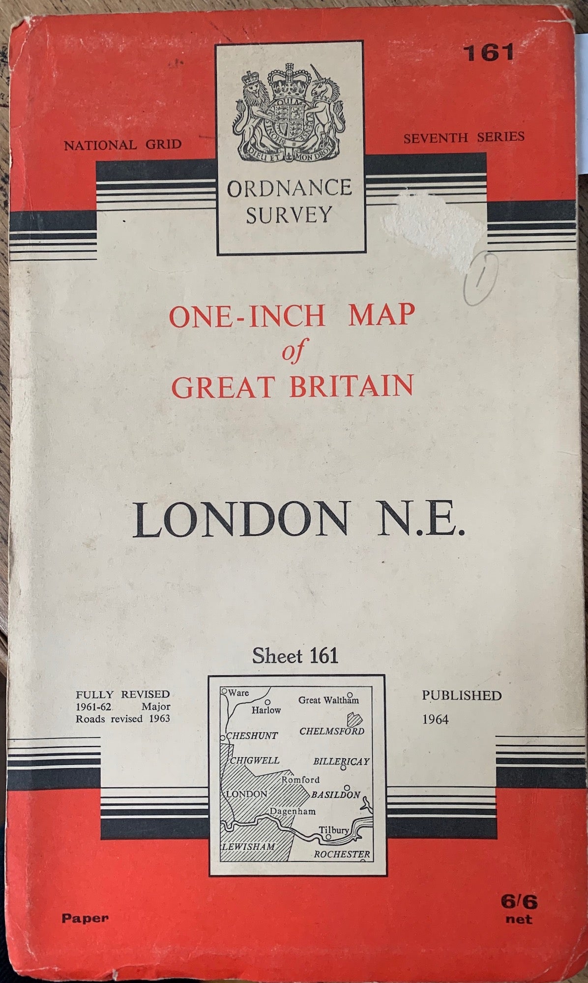
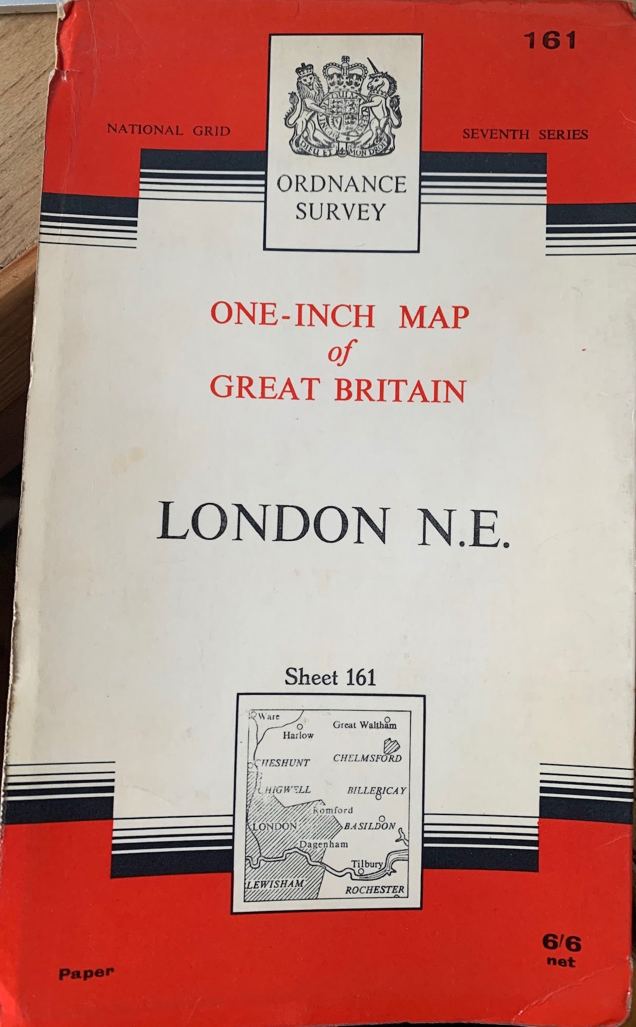
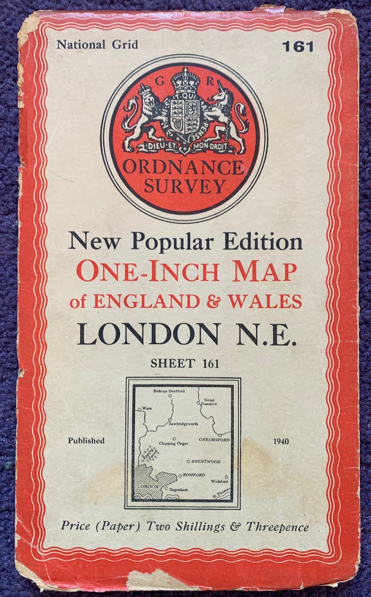
Sheet no 161 LONDON N.E.
I have several of these maps published at different times - please see the list below for dates and condition.
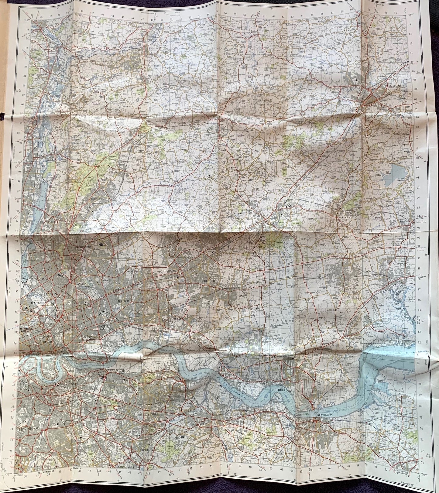
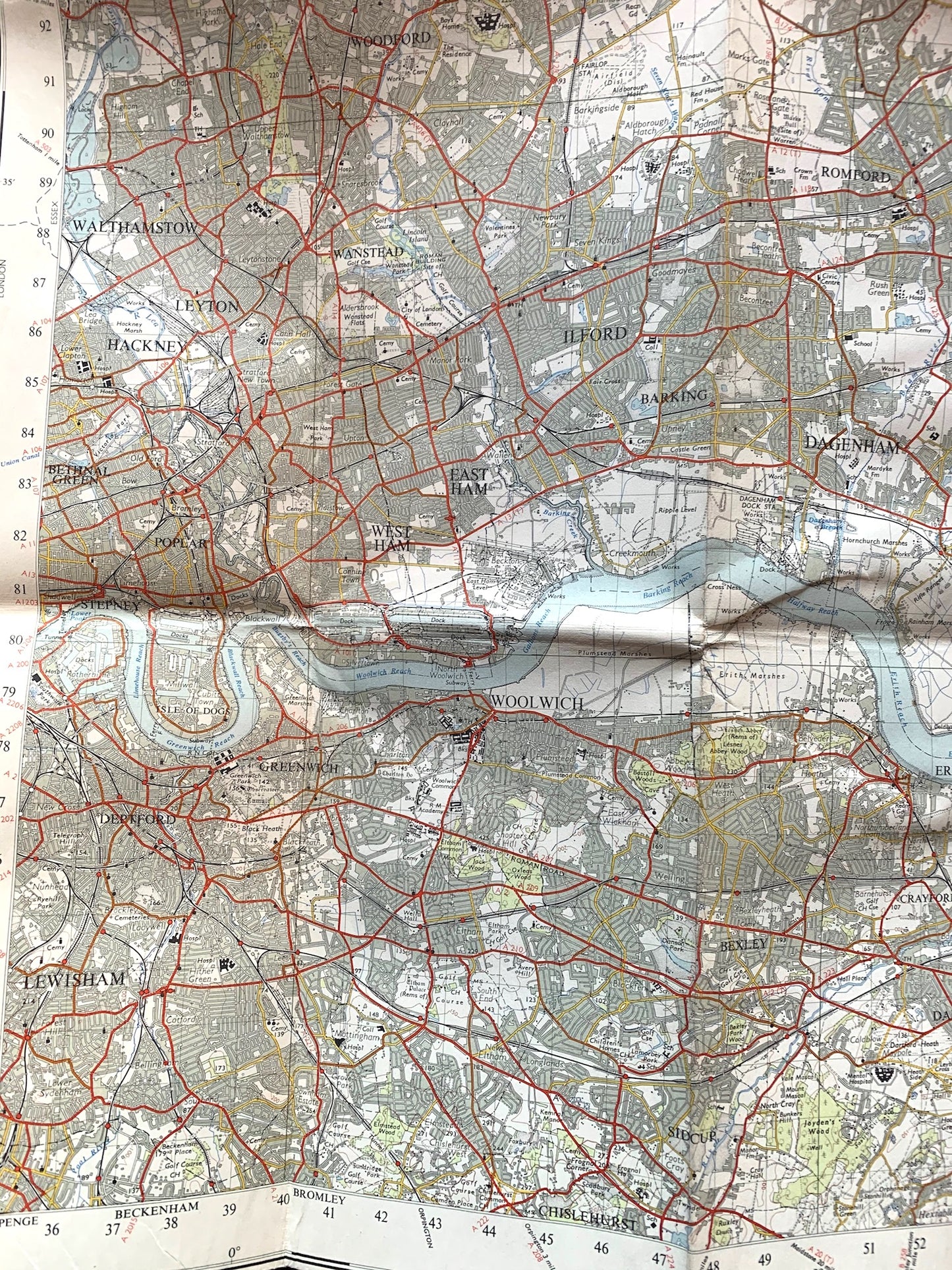
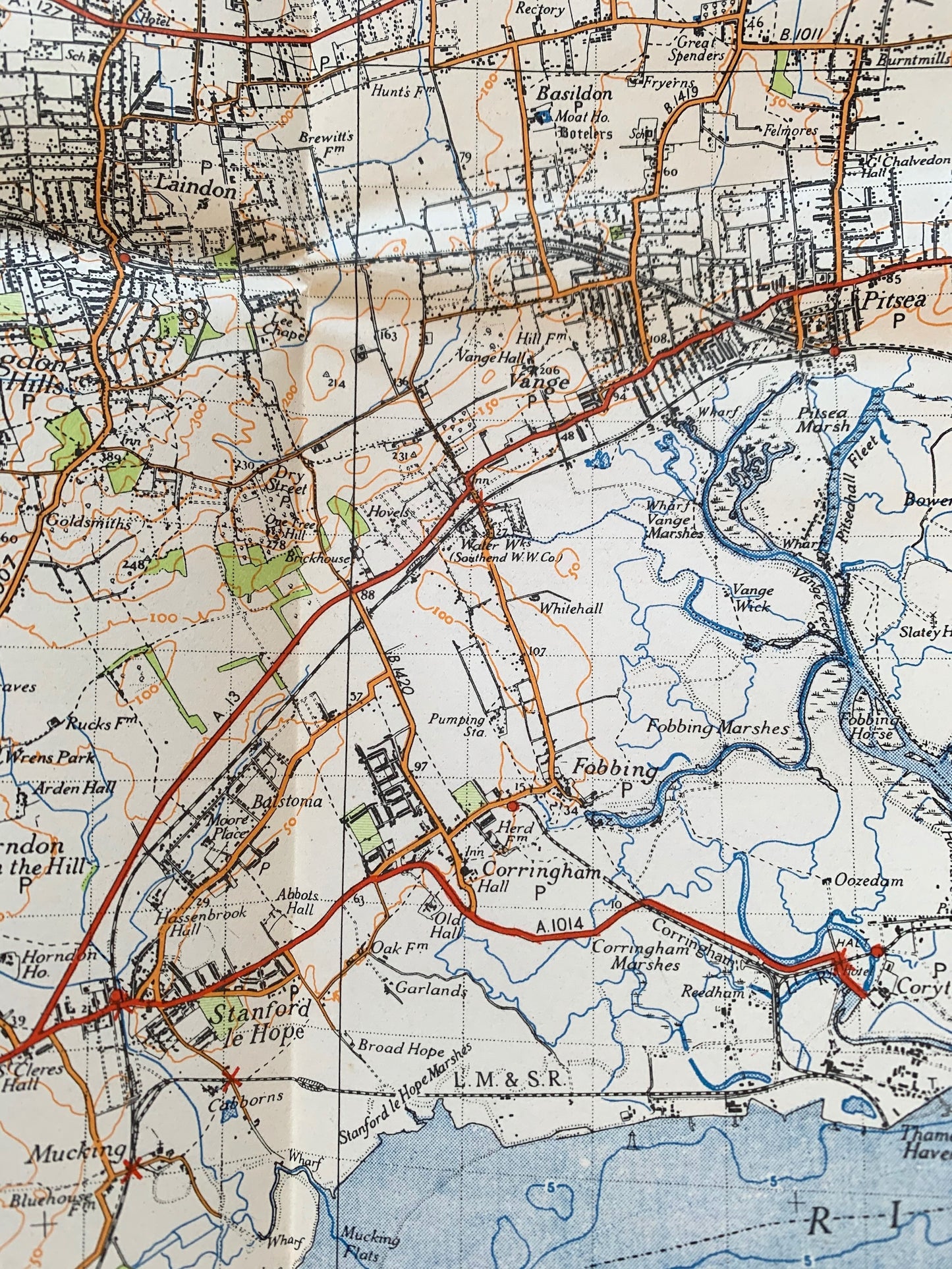
The map includes Central and North East London.
To the North it goes as far as Ware, Harlow and Great Waltham including Hoddesdon, Epping and Chipping Ongar.
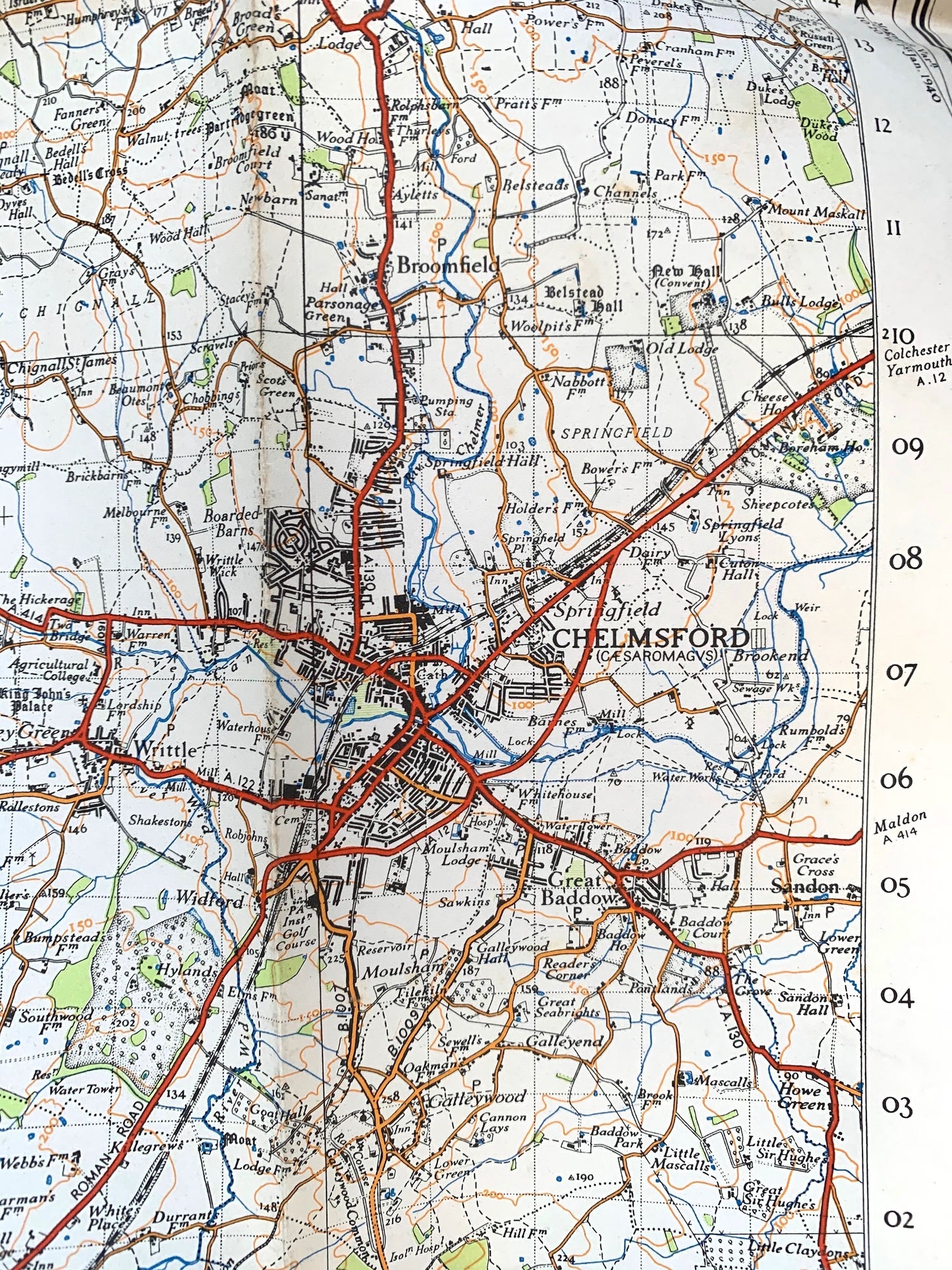
To the East it goes to Chelmsford and Billericay, Basildon and Gravesend.
And to the South - Rochester (top), Sidcup and Lewisham.
To the West - Hackney, Chingford and Cheshunt.
The map has lots of fascinating details - long gone farms, aerodromes, schools, hospitals, golf courses and woods..
The scale is 1 inch to 1 mile and it is on paper or cloth.
Would look wonderful on a wall to... to help you reflect on ...Progress...
I have several of these maps - details below- the photo of the cover will appear when you click on each maps number.
Map 1 - On Cloth. Revisions to 1958. Very good condition inside. Worn covers
Map 2 - On Cloth. Revisions to 1958. Worn along folds and cover.
Map 3 - On paper. Published 1958. Good condition inside, slightly grubby cover and edges
Map 4 - On paper. Published 1964, good condition inside , slightly worn cover
Map 5 -On paper. Published 1964, good condition inside, good laminated cover