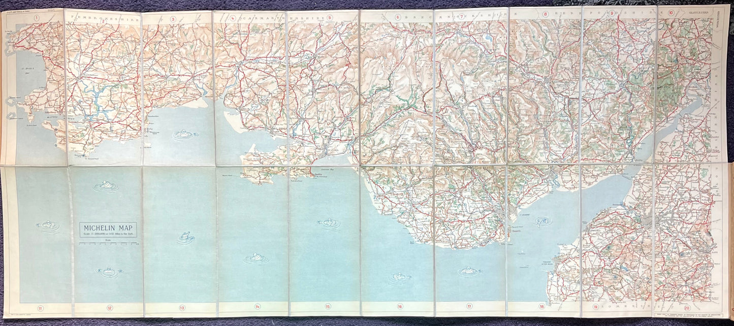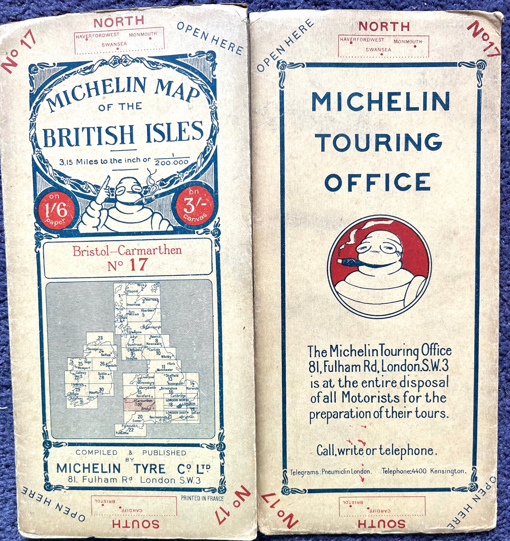


BRISTOL - CARMARTHEN 1920s Michelin Map (Sheet 17) incl CARDIFF SWANSEA MONMOUTH
BRISTOL - CARMARTHEN 1920s Michelin Map (Sheet 17) incl CARDIFF SWANSEA MONMOUTH
Couldn't load pickup availability
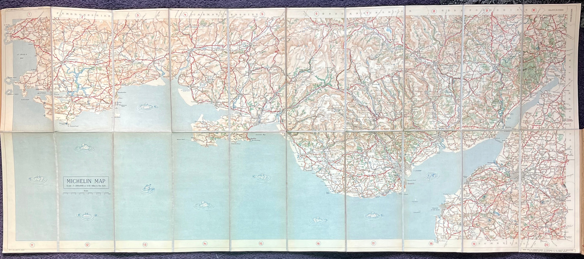
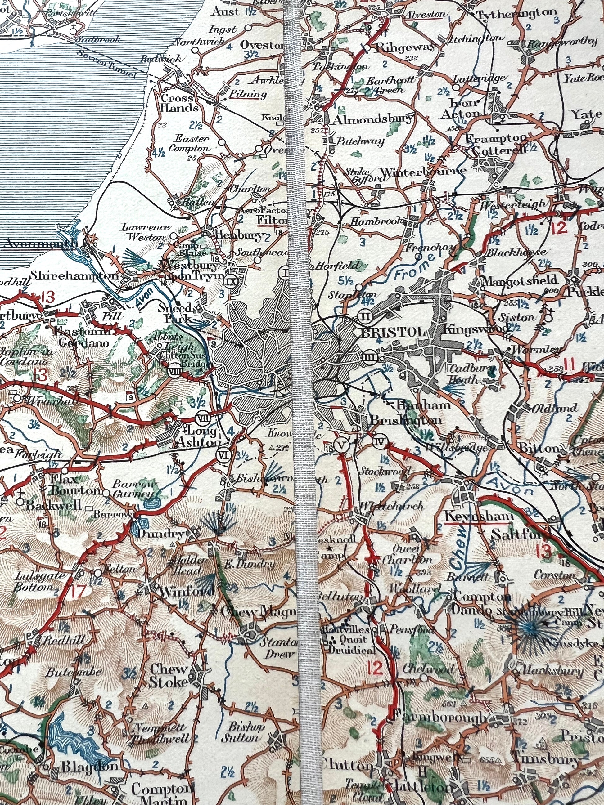
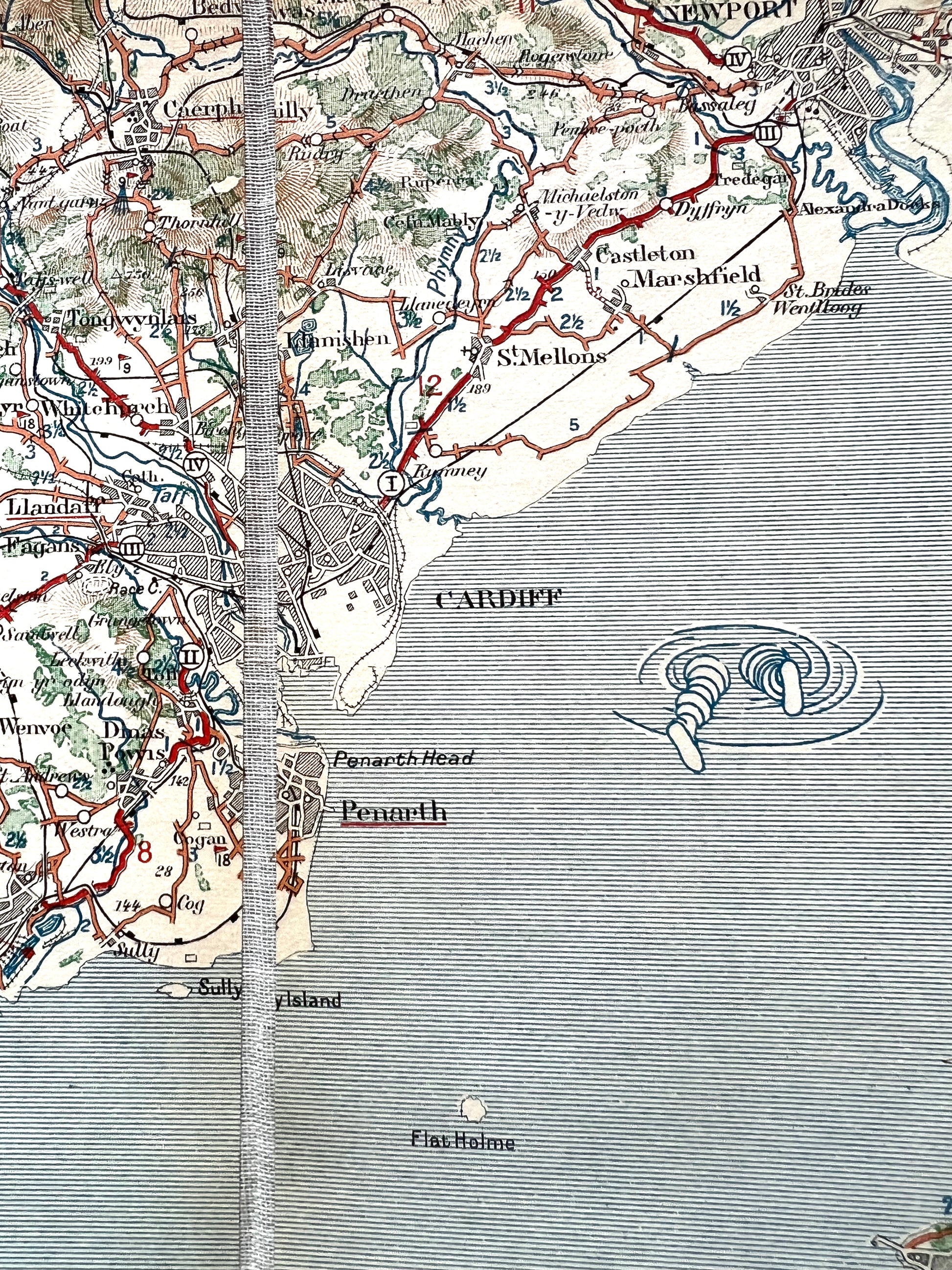
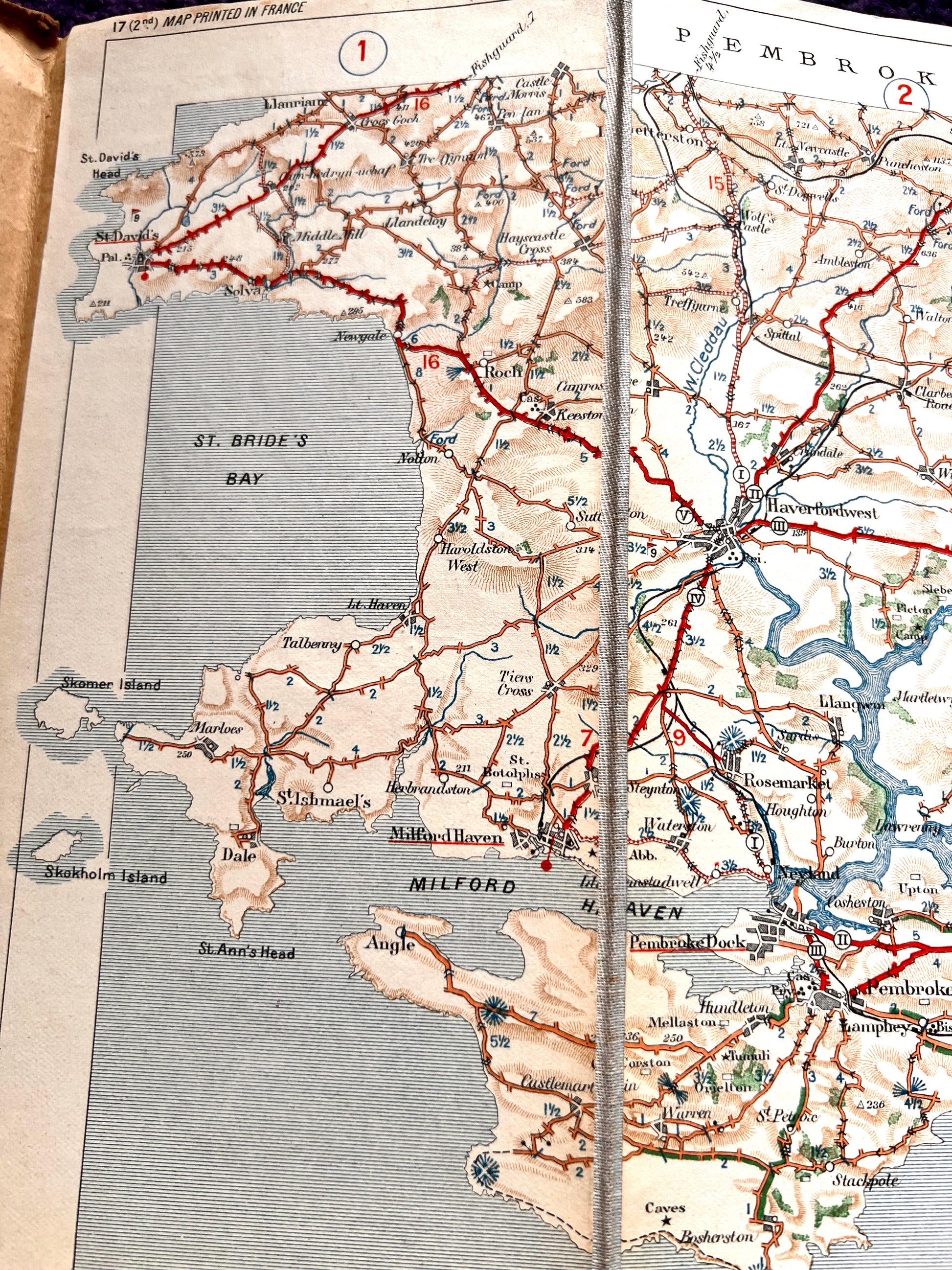
1920s Sheet no. 17 Michelin Map of BRISTOL - CARMARTHEN
Colour printed on cloth, dissected sections.
Excellent Condition inside, edges of cover slightly worn
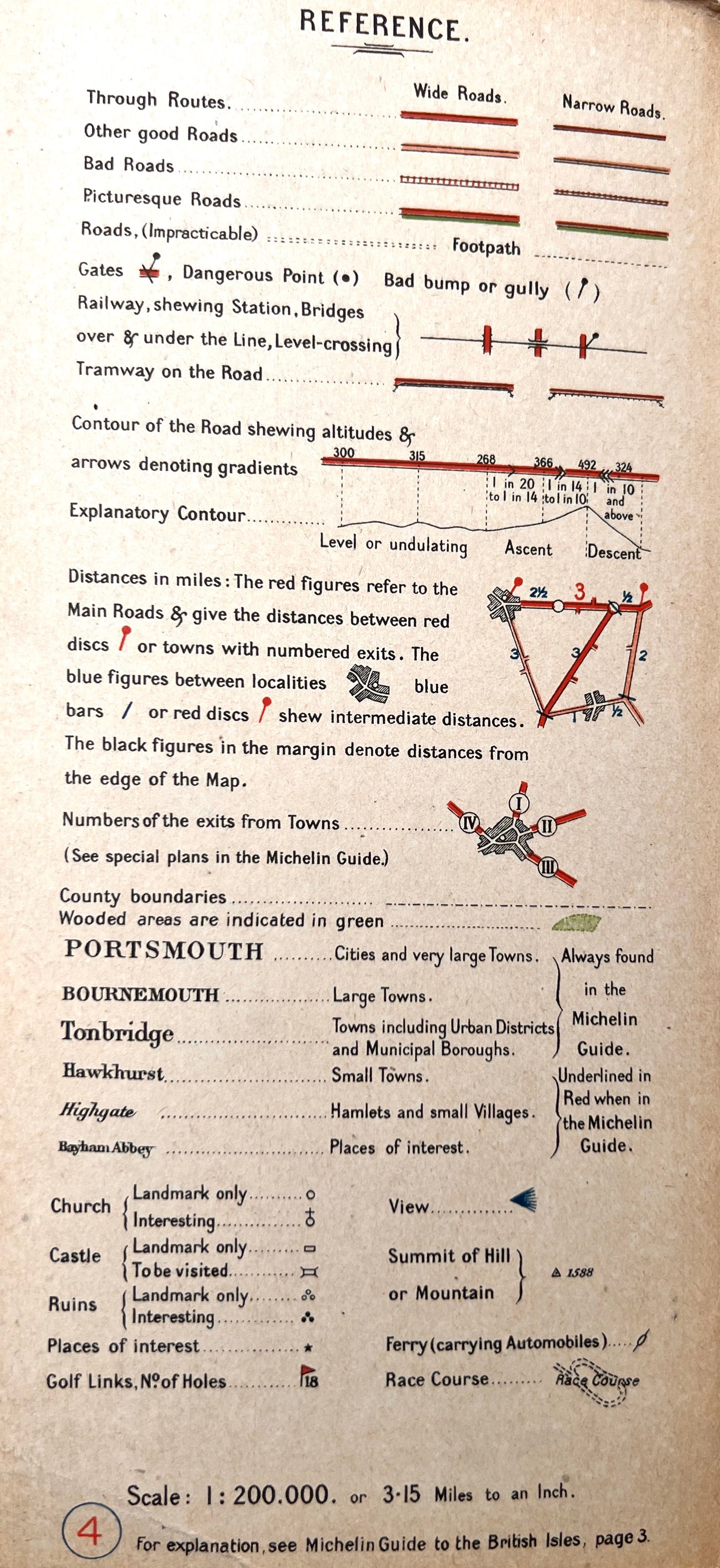
Scale 3.15 miles to 1 inch
These maps did not have the date included until 1923, so this map is pre 1923.
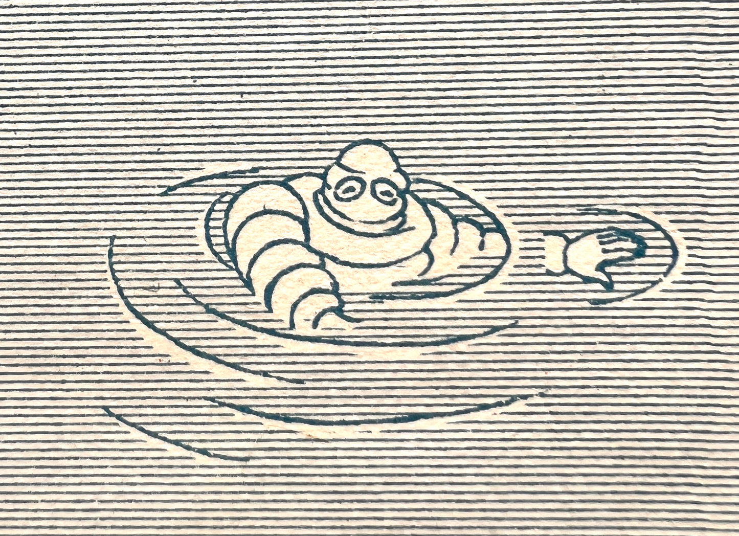
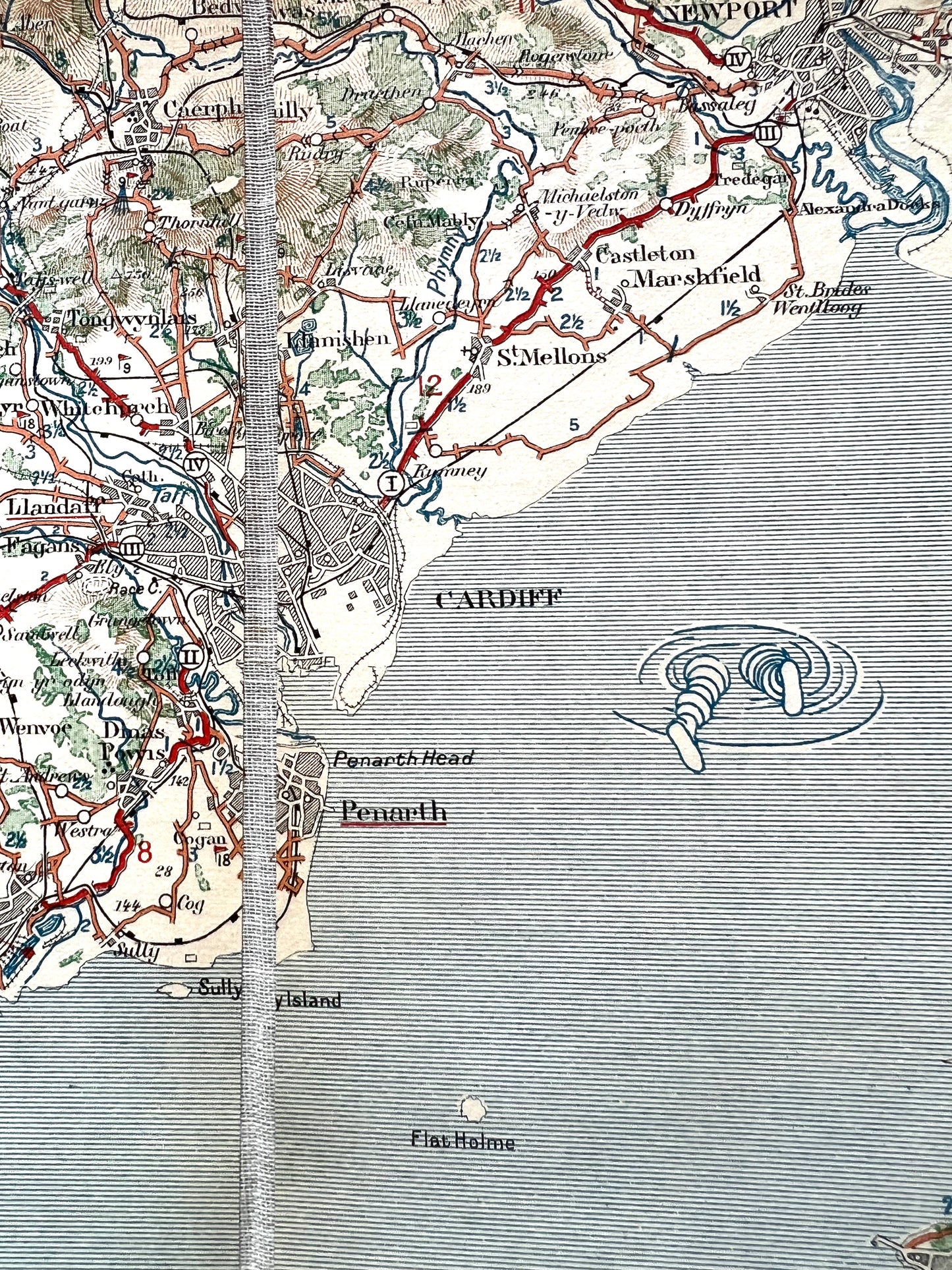
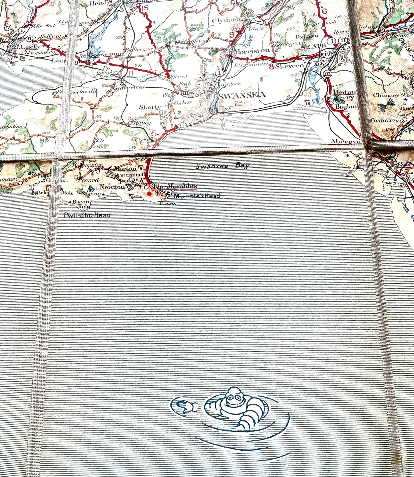
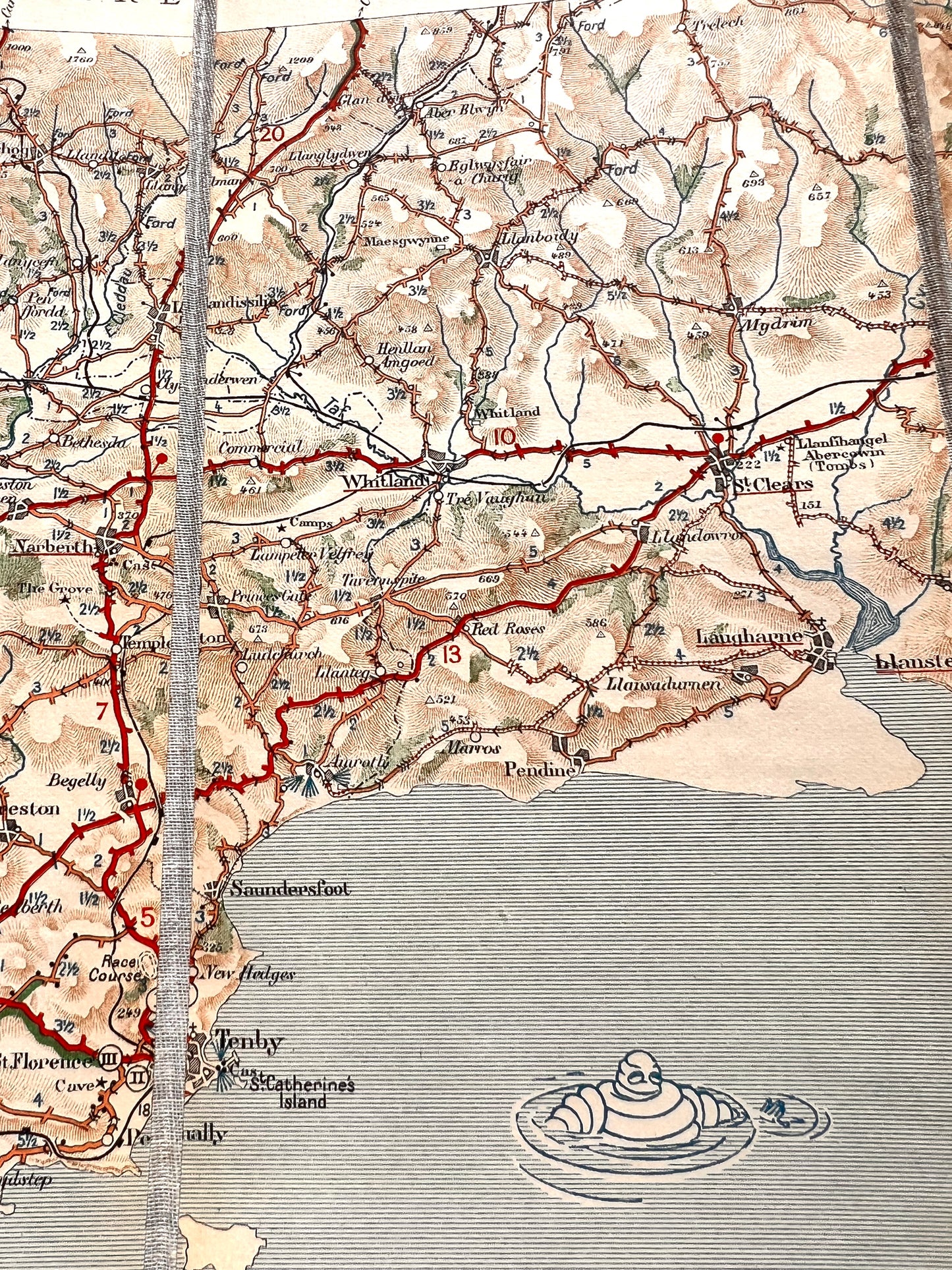
Lovely graphics of the iconic Michelin man on the covers, and in the sea !
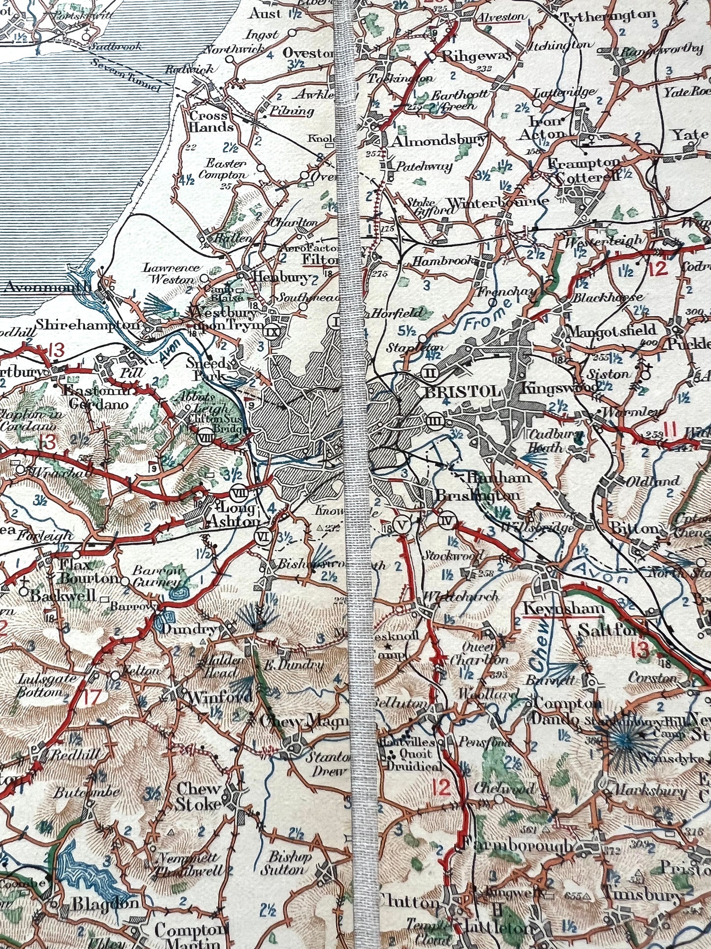
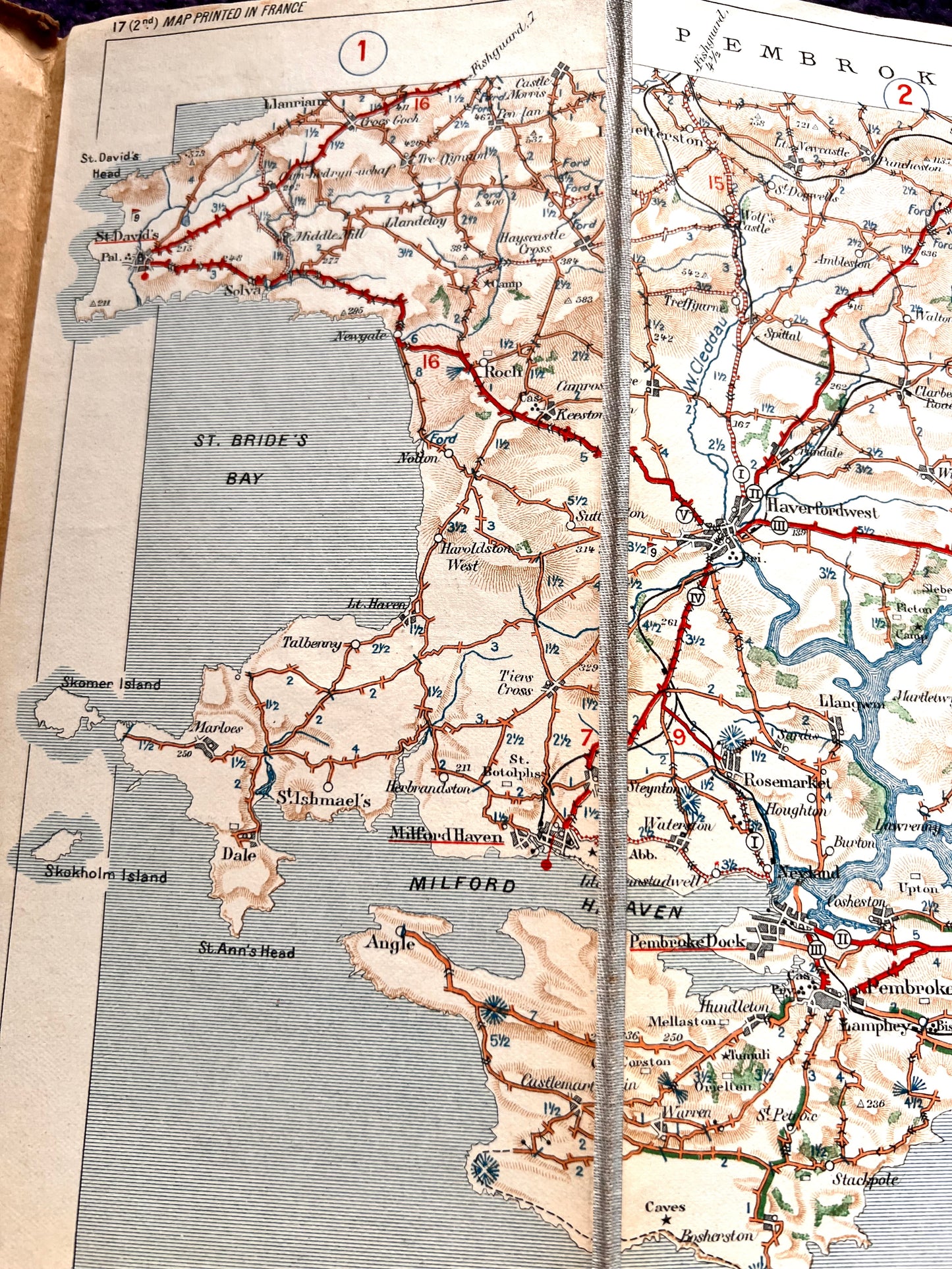
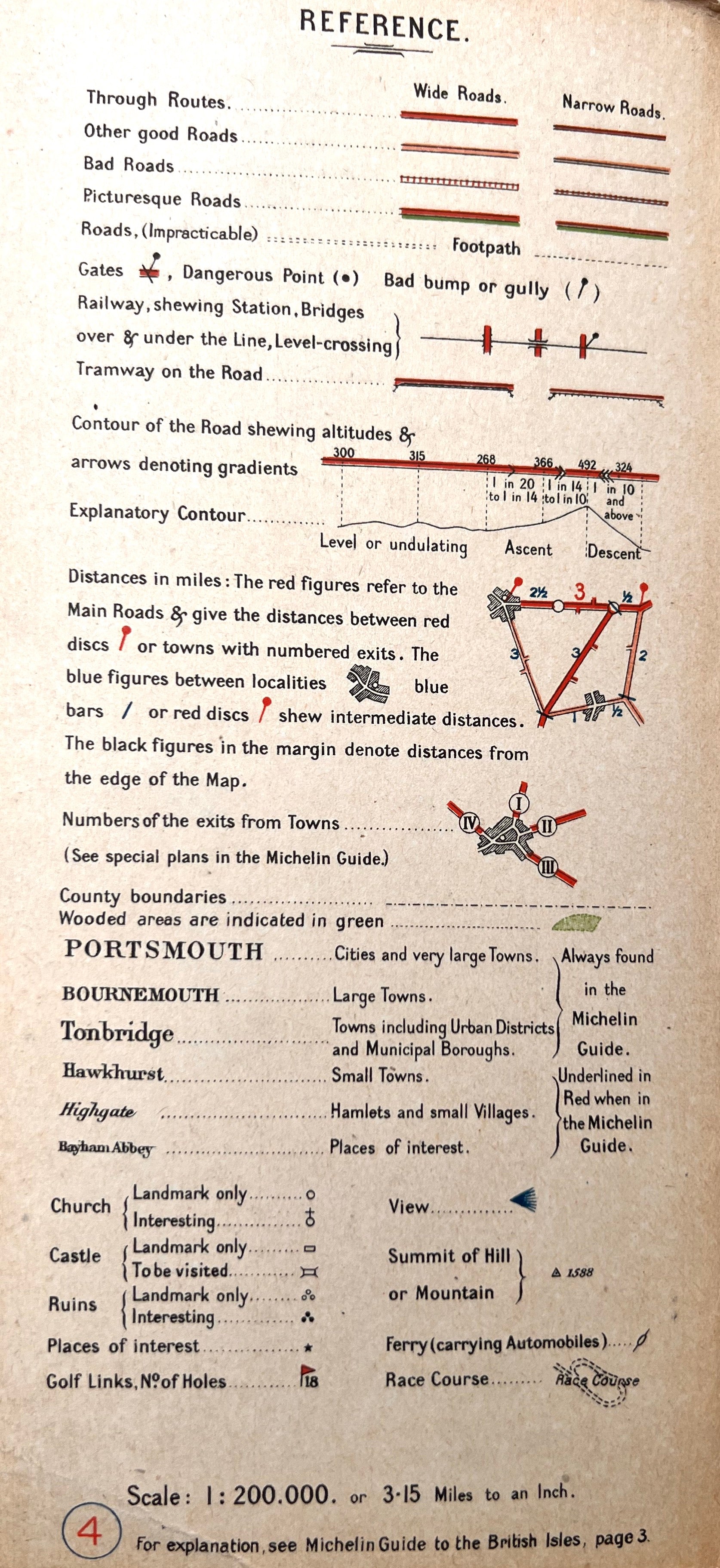
The map was intended as a touring map for those who possessed one of those new fangled automobiles and shows the main roads with miles between places, impracticable roads, bad roads, picturesque roads, gates and "bad bumps" railways and points of local interest.
Basically invaluable !
It covers the area from Haverfordwest, Monmouth, Swansea, Cardiff, Bristol and all points in between.