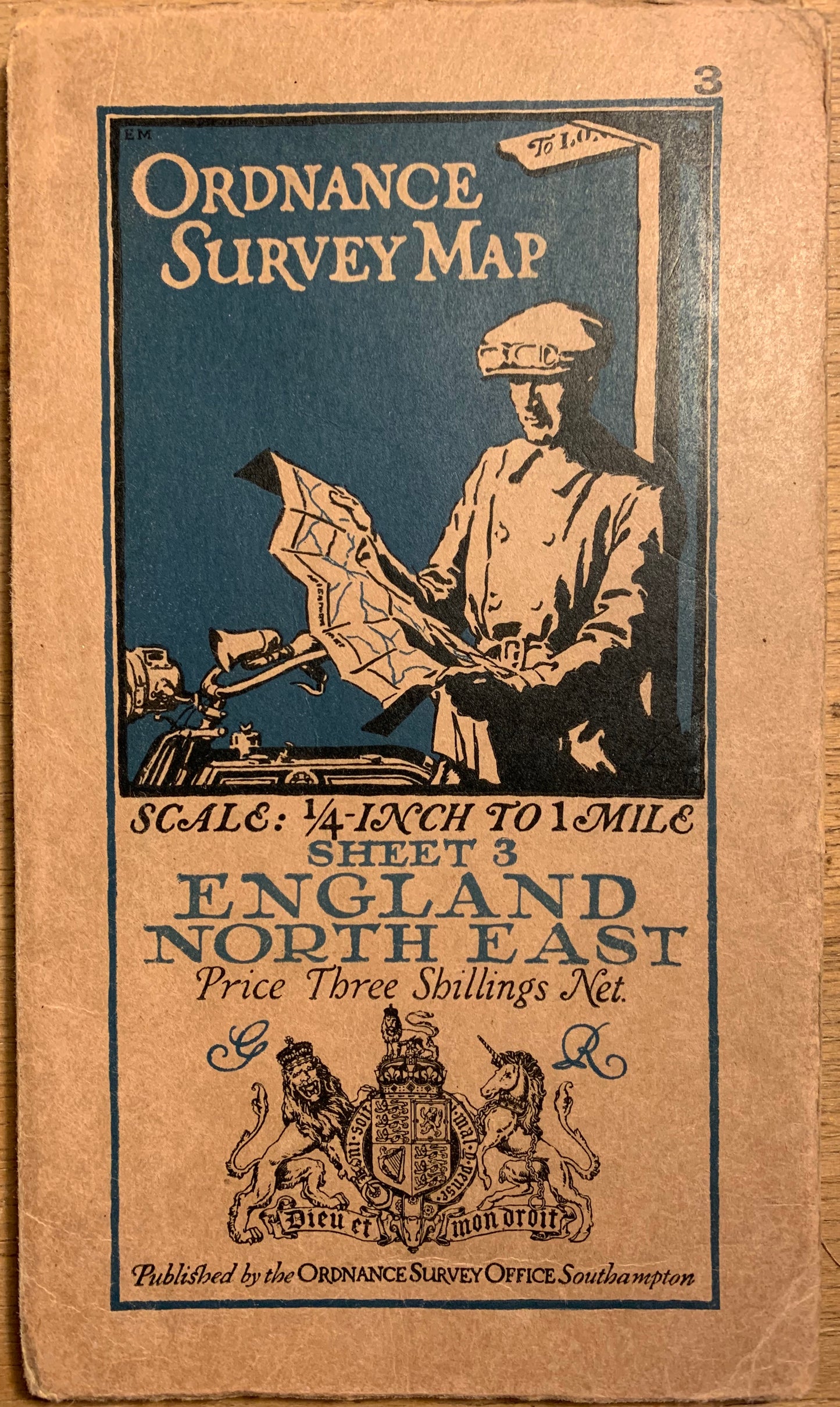
Detailed 1920s ORDNANCE SURVEY Contoured MAP of England North East - 1/4 Inch to 1 Mile
Detailed 1920s ORDNANCE SURVEY Contoured MAP of England North East - 1/4 Inch to 1 Mile
Regular price
£7.50
Regular price
Sale price
£7.50
Unit price
per
Tax included.
Shipping calculated at checkout.
Couldn't load pickup availability
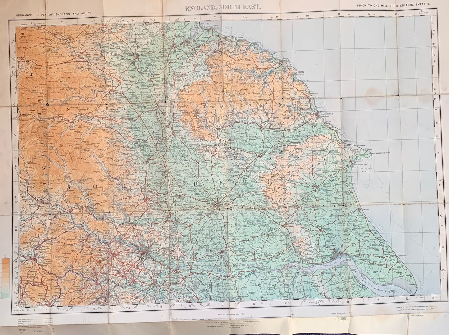
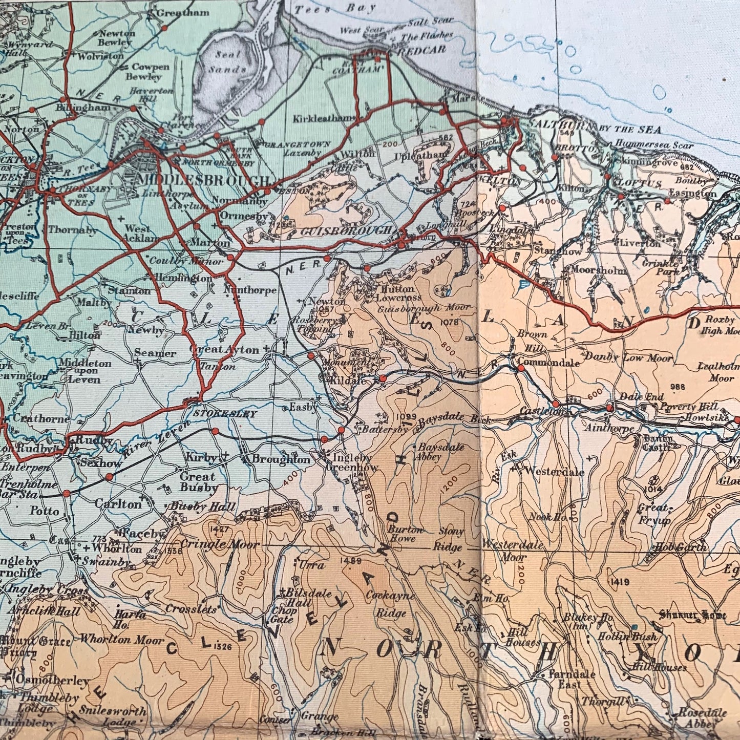
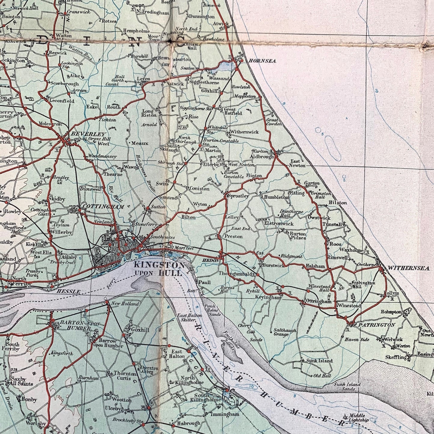
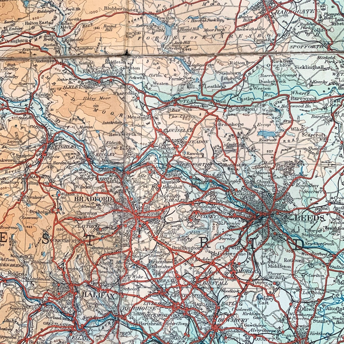
Issued in 1920 this is a most interesting map of North East England in the 1920s.
It is colour coded for contours - green being the closest to sea level.
The odd Submarine contours too.
The map shows stately homes, ironworks, railways and tiny stations, and no motorways at all
The scale is 1/4 inch to 1 mile and it is on cloth .
It is in very good condition.
The 1st picture is of the map that is curently on sale,
the pictures of the inside are pictures of a previous copy of this map...which was not as good condition as this one I have now !