-
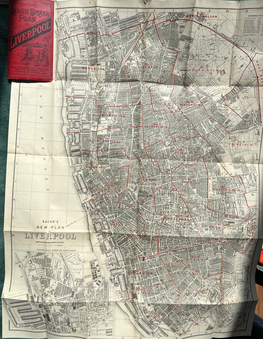
Fascinating 1920s Bacon's Large Scale Plan of LIVERPOOL. Map for Tourists and Cyclists
Regular price £10.00Regular priceUnit price per -
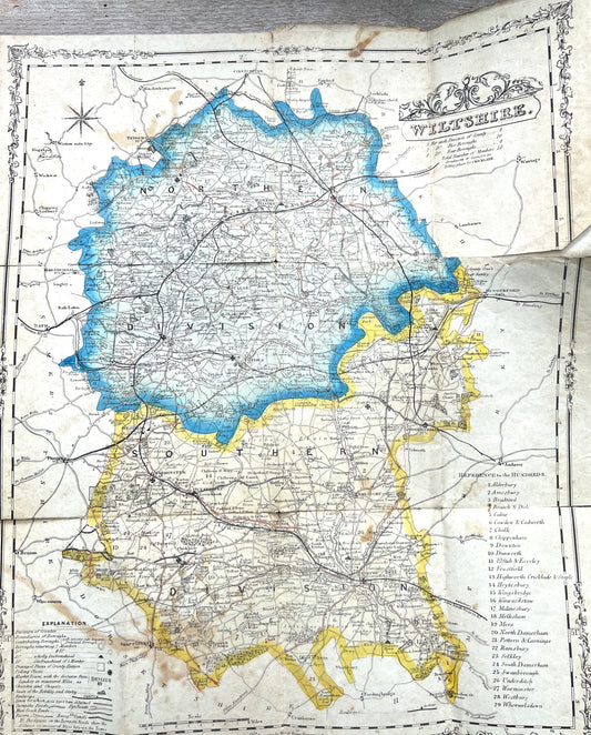
Fascinating 1800s Political Map of WILTSHIRE with it's RAILWAYS
Regular price £20.00Regular priceUnit price per -
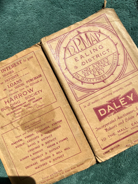
1940s Cloth Map of EALING & DISTRICT
Regular price £6.50Regular priceUnit price per -
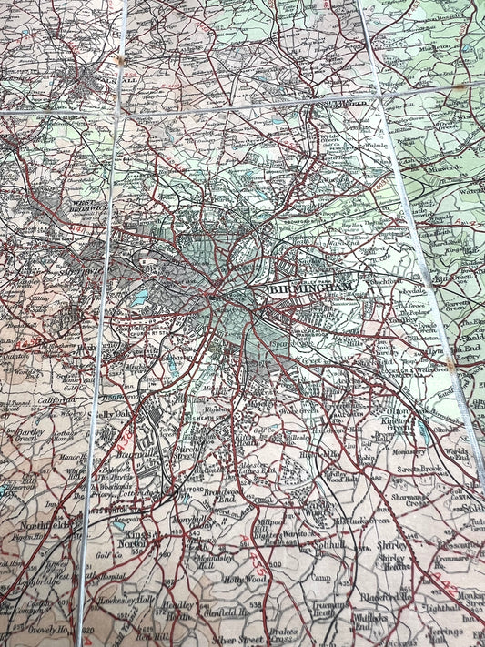
Early 1900s Dissected Cloth AA Map of Warwickshire icl. Birmingham 2 miles to 1"
Regular price £6.50Regular priceUnit price per -
1900s Cloth Gall + Inglis Cyclists "SAFETY GRADED ROAD MAP" of SW England Sheet 1.
Regular price £8.50Regular priceUnit price per -
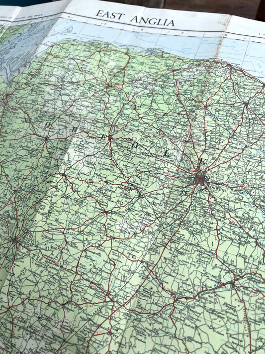
1920s Cloth Backed ORDNANCE SURVEY MAP of East Anglia 1/4" to 1 Mile Sheet 9A
Regular price £7.50Regular priceUnit price per -
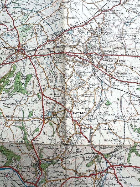
1921 ORDNANCE SURVEY Contoured Road Map of WOLVERHAMPTON, Staffordshire & Shropshire. 1" to 1 Mile
Regular price £4.00Regular priceUnit price per -
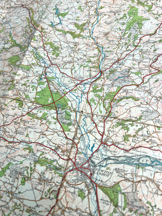
1920s ORDNANCE SURVEY Contoured Cloth MAP of DARTMOOR + EXETER 1" to 1 Mile Sheet 138
Regular price £7.50Regular priceUnit price per -
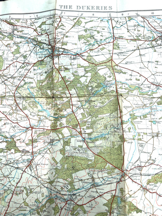
1928 ORDNANCE SURVEY Contoured Cloth MAP of THE DUKERIES 1" to 1 Mile Sheet 46
Regular price £6.50Regular priceUnit price per -
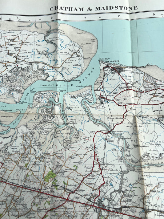
1920s ORDNANCE SURVEY Contoured Cloth MAP of CHATHAM + MAIDSTONE 1" to 1 Mile Sheet 116
Regular price £8.00Regular priceUnit price per -
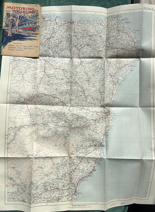
1930s Motoring and Touring Map of The East of Scotland Section R. 3 miles-1"
Regular price £7.00Regular priceUnit price per -
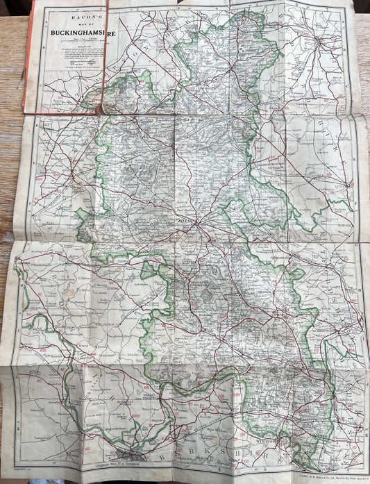
Detailed 1930s Map of Buckinghamshire
Regular price £6.50Regular priceUnit price per -
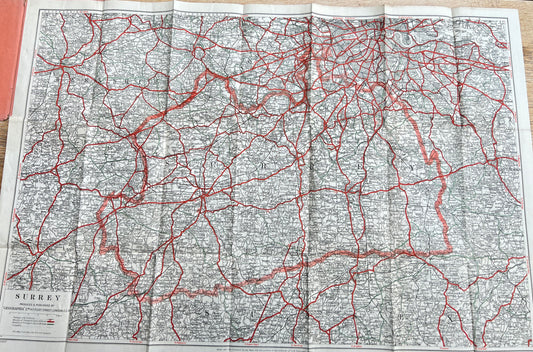
Fascinating 1940s Geographia Map of SURREY
Regular price £4.50Regular priceUnit price per -
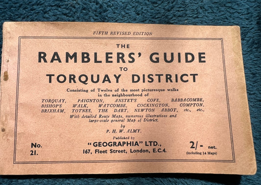
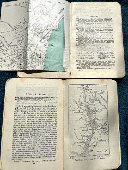
1930s/40s RAMBLERS' GUIDE to TORQUAY DISTRICT
Regular price £6.00Regular priceUnit price per -
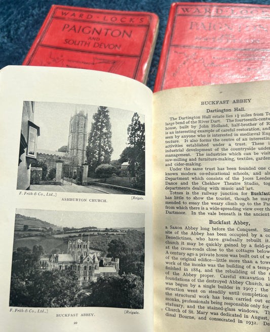
1920s Ward Lock Red Guide to TORQUAY AND SOUTH DEVON
Regular price From £4.00Regular priceUnit price per -
1930s/40s Ward Lock Red Guide to PAIGNTON AND SOUTH DEVON
Regular price £4.50Regular priceUnit price per