NaN
/
of
-Infinity
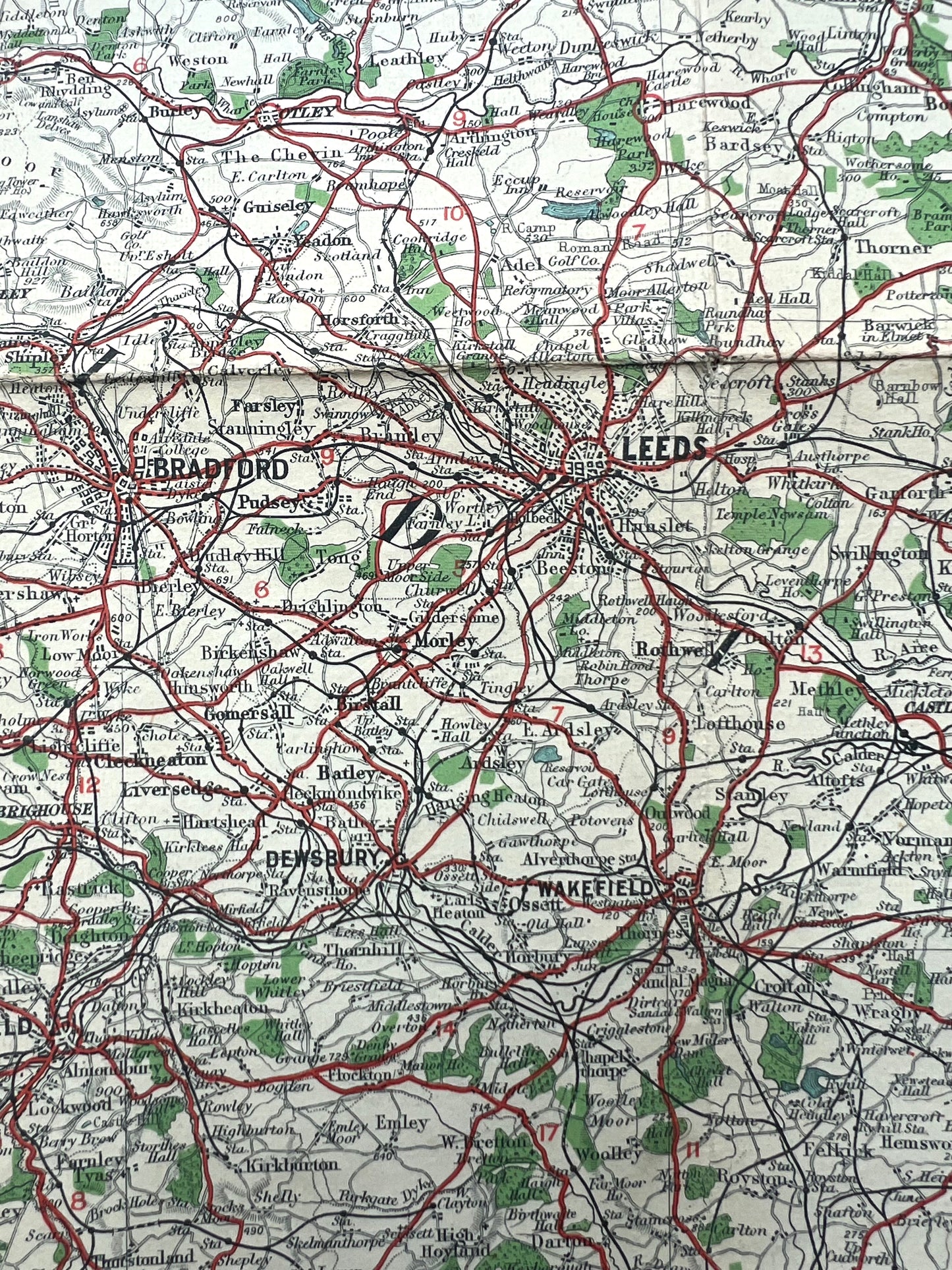
Section 3, YORK, of 1900s Bartholomew’s ROAD MAP of ENGLAND and WALES
Section 3, YORK, of 1900s Bartholomew’s ROAD MAP of ENGLAND and WALES
Regular price
£7.00
Regular price
Sale price
£7.00
Unit price
/
per
Tax included.
Shipping calculated at checkout.
Couldn't load pickup availability
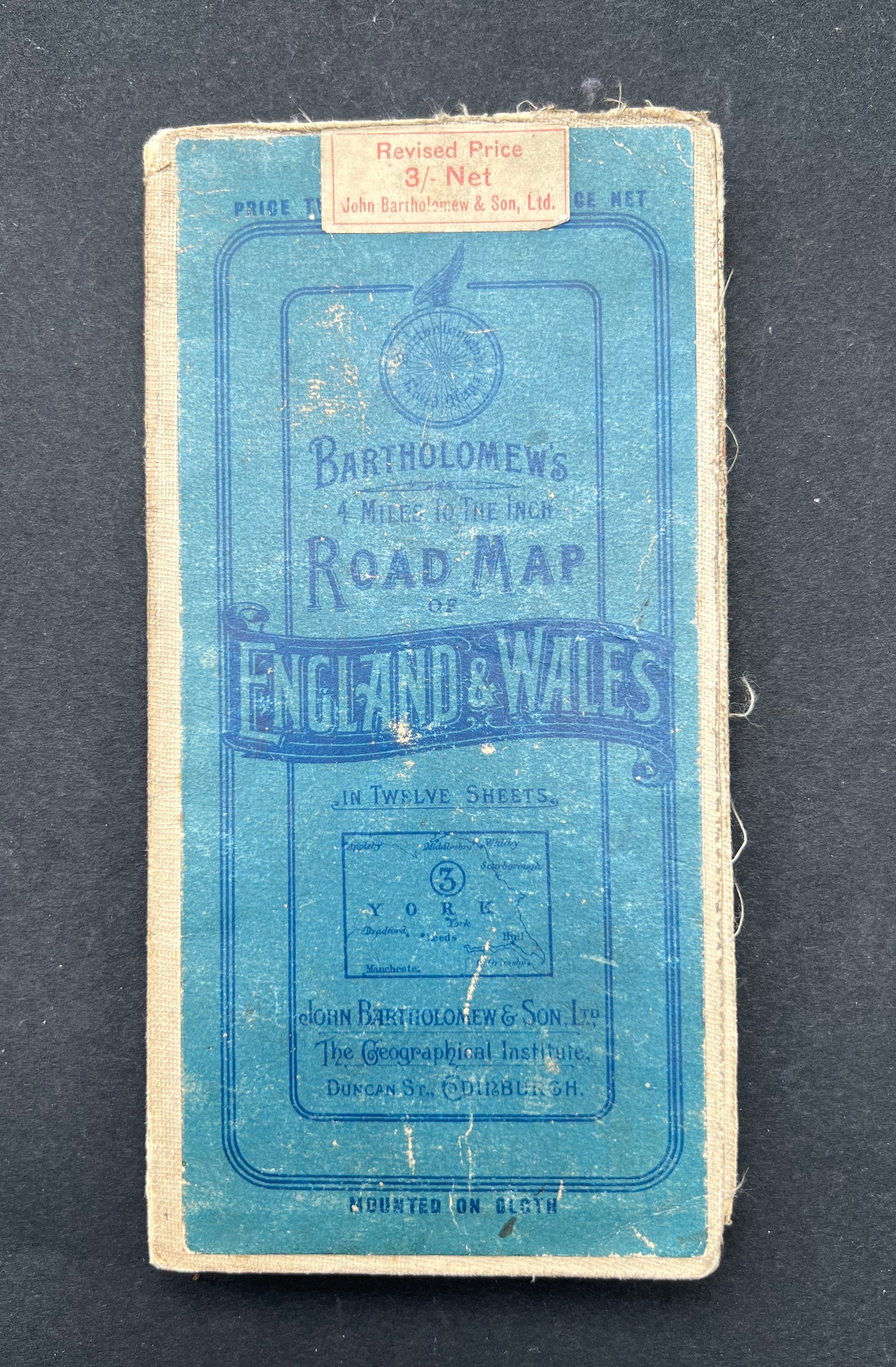
Bartholomew’s ROAD MAP of ENGLAND and WALES in Twelve Sheets
Sheet 3 YORK
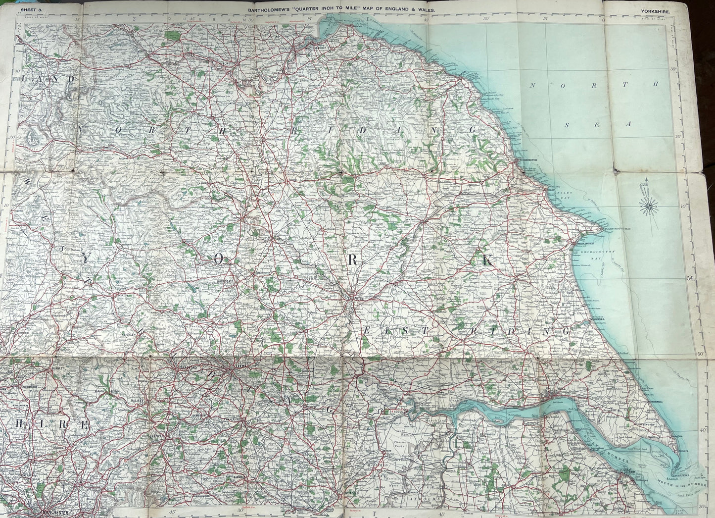
Covers the area around York, between Appleby in the top left to Whitby, Grimsby and Manchester
For motorists and Cyclists.
Printed in the early 1900s
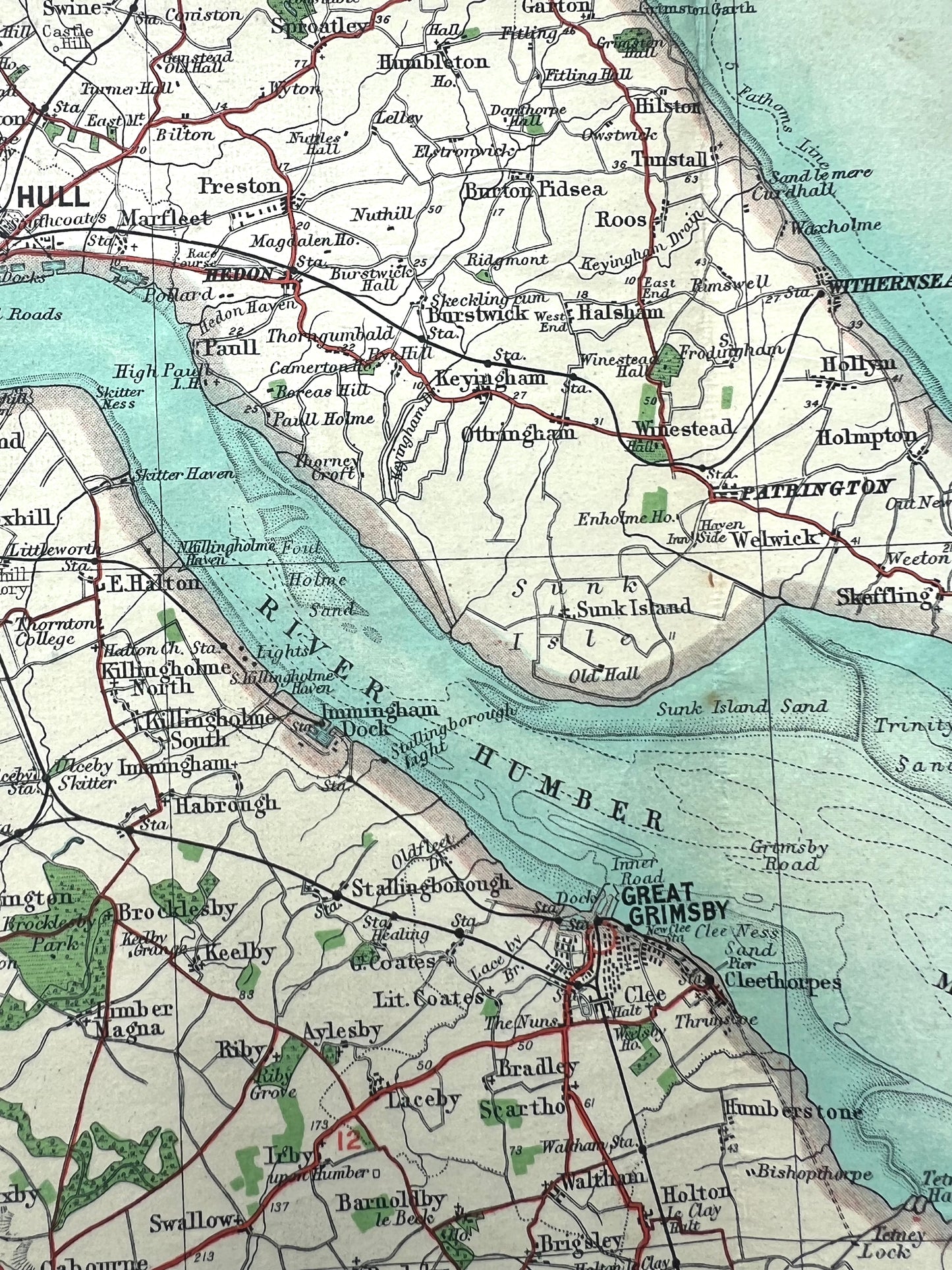
Lots of fascinating long gone details.
Colour printed cloth backed
Scale 4 Miles to the inch.
Original price three shillings (15p !)
Cover is a bit worn and there are some holes at the corners of the joins but all the details are clearly visible.
