Fascinating 1800s Political Map of WILTSHIRE with it's RAILWAYS
Fascinating 1800s Political Map of WILTSHIRE with it's RAILWAYS
Couldn't load pickup availability
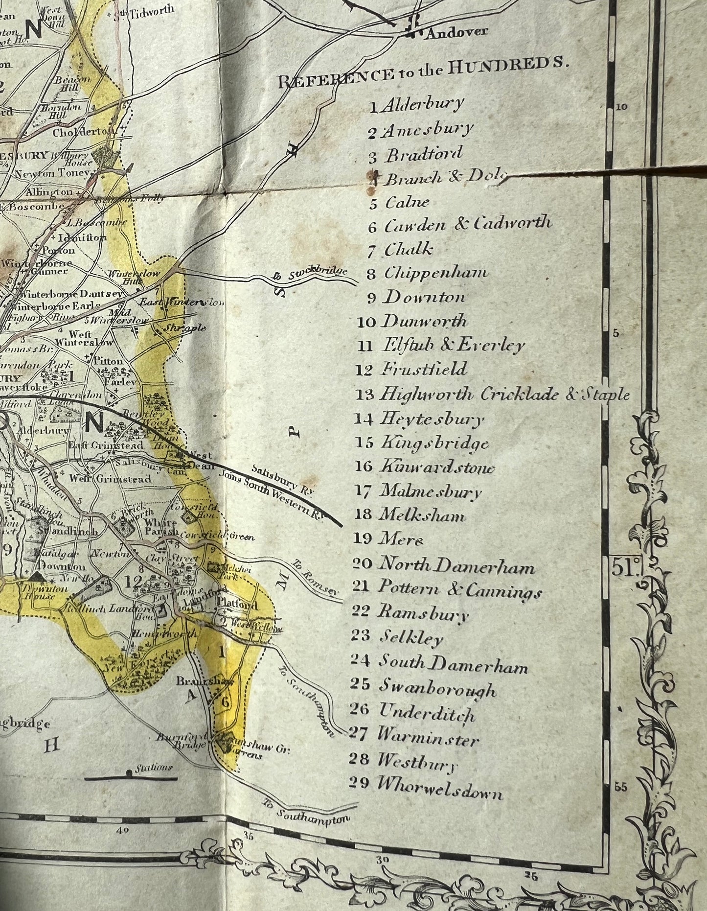
There is no date on this map but it has an index of districts
REFERENCE to the HUNDREDS
and polling places.
A quick search for what a HUNDRED is revealed
"An administrative division of a shire and the forerunner of the modern district in England. Particularly important in Saxon times but gradually declined as other forms of administration developed. A court was held monthly within the hundred at a fixed open‐air location. It was presided over by the hundred reeve, representing the king, and consisted of freeholders who considered minor criminal and civil cases. It could also levy taxes. Manorial and shire courts gradually took over the functions of the hundred court, but as a unit of administration it formally survived until the Local Government Act 1894. In origin, a hundred was either a hundred hides or a hundred families."
Also on the map are other equally fascinating details such as :
Seats of the Nobility and gentry
Disfranchised areas
Railway Lines for which Acts have been Obtained
Mail Coach Roads
Turnpike Roads
The map is prettily decorated around the edges and shaded into Northern and southern divisions.
It has also broken along the folds but this could be easily be repaired with paper tape on the back.
It has been in someone's collection and has a sticker on the front and 2 pieces of paper stuck inside the blank first fold.
Share


