1940s/60s Bartholomew's Map of VALE of SEVERN incl. Worcester, Kidderminster etc
1940s/60s Bartholomew's Map of VALE of SEVERN incl. Worcester, Kidderminster etc
Couldn't load pickup availability
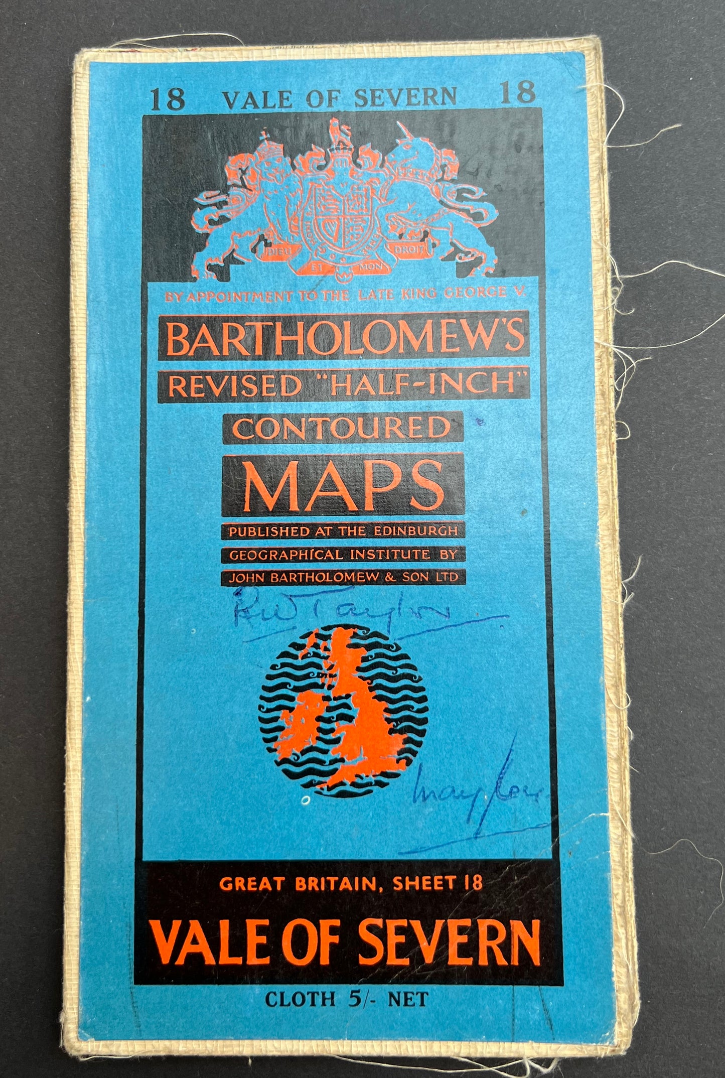
Bartholomew’s Revised "Half-Inch" Contoured Map of VALE of SEVERN
(Sheet 18)
Scale Half Inch to a Mile. Cloth backed.
Lots of fascinating details - hospitals, industries, schools, stately homes and other long gone landmarks
The map covers the area between Montgomery and Walsall and Birmingham in the North to Hay and Evesham in the South
Do look at all 4 photos of the inside to see the level of fascinating detail
Includes a tiny Kidderminster and Worcester !
I have several copies of this map (obviously a very popular are for visiting..)
1. Late 30s/Early 40s. On cloth. Fair condition
2. Dated 1945. On cloth. Good condition.
3. 1940s. On cloth. Some foxing.
4.Dated 1953. Good Condition
5. Dated 1961. On cloth. Good condition
6. Dated 1962. On cloth. Some foxing and annotation !