1925 Bartholomew's Half Inch Contoured Map of CENTRAL WALES Sheet 16
1925 Bartholomew's Half Inch Contoured Map of CENTRAL WALES Sheet 16
Couldn't load pickup availability
Bartholomew’s Revised Half Inch Contoured Map of CENTRAL WALES Sheet 16
Colour printed cloth backed
Scale - Half Inch to One Mile
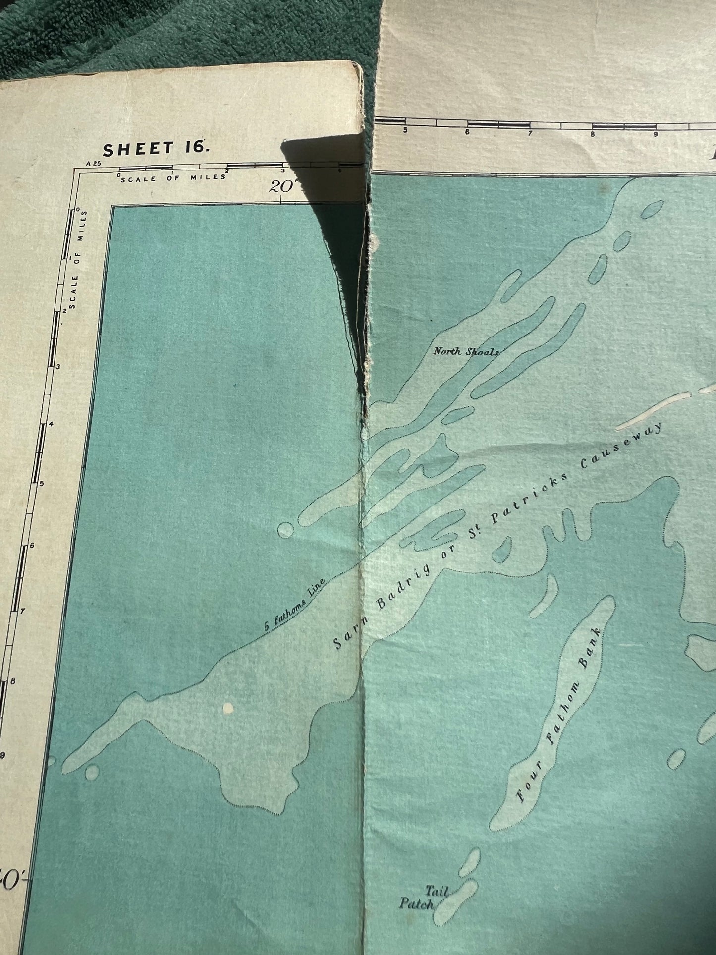
There is a slight tear along a small part of one join - see last photo (easily repaired)
The map is dated 1925 - you can also see this in the last photo.
Here's an explanation of Bartholomew's dating system
"From about 1911 until 1945 an abbreviated dating code was adopted using the last two digits of the publication year preceded by either an "A" or "B" indicating in which half of the year the map was produced, eg A14 indicating that the map was published in the first half of 1914. This code can usually be found against the margin at either the top or bottom left-hand corner or sometimes centrally in the bottom margin. From 1946 onwards the date of printing was normally shown at the bottom of the map."