1940s/60s Bartholomew's Map of SALISBURY PLAIN incl. Reading, swindon, Newbury etc
1940s/60s Bartholomew's Map of SALISBURY PLAIN incl. Reading, swindon, Newbury etc
Couldn't load pickup availability
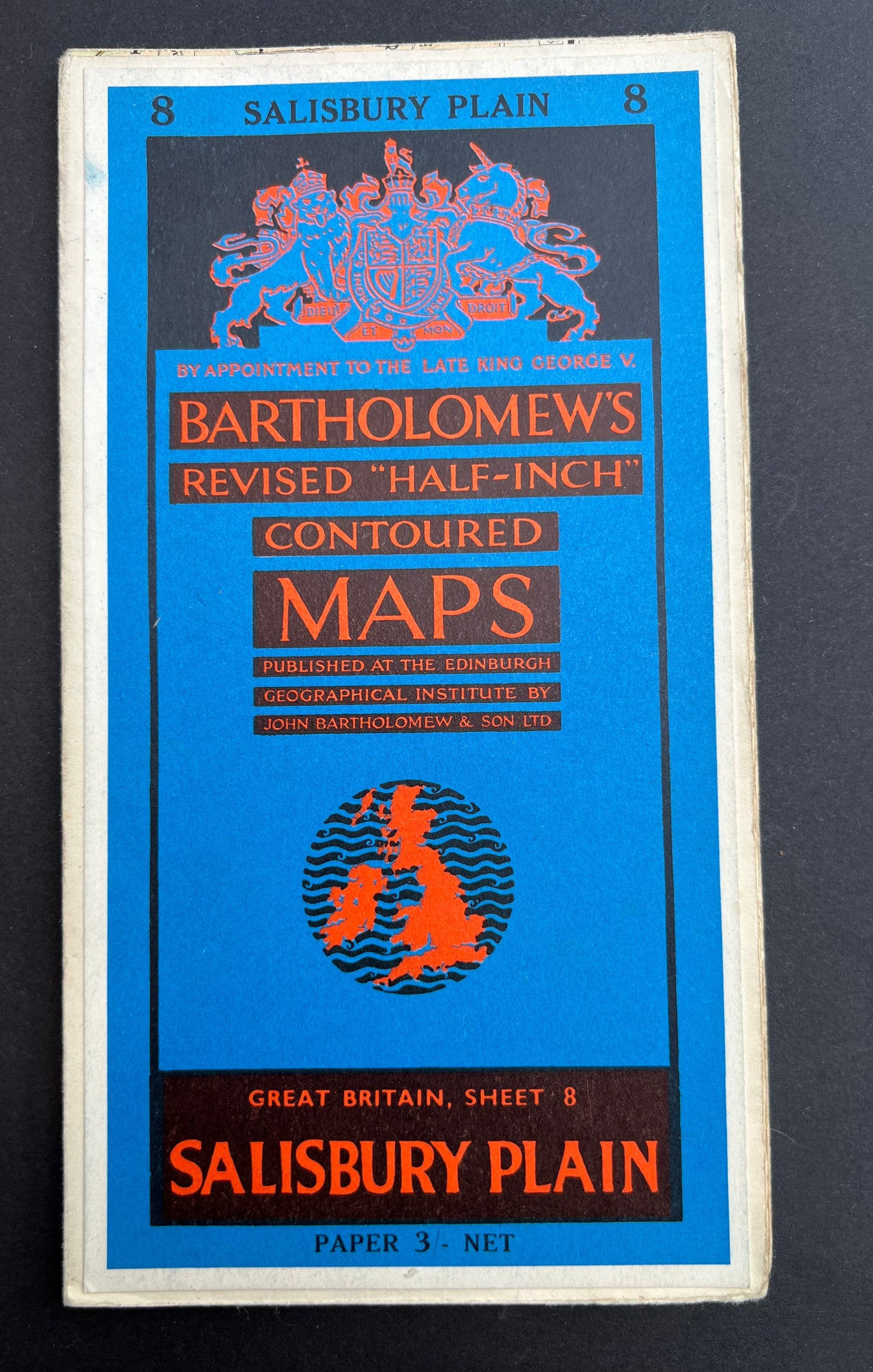
Bartholomew’s Revised "Half-Inch" Contoured Map of SALISBURY PLAIN
(Sheet 8)
Scale Half Inch to a Mile
Lots of fascinating details - hospitals, industries, schools, stately homes and other long gone landmarks
The map covers the area between Malmesbury and Marlow in the North to Salisbury and Haslemere in the South
Do look at all 4 photos of the inside to see the level of fascinating detail
Includes a tiny Reading and Swindon !
I have several copies of this map (obviously a very popular are for visiting..)
1. Dated 1948. On cloth. Good condition
2. Dated 1948. On cloth. Some wear on folds and joins
3.Dated 1949. Some wear on folds and joins
4. Dated 1949. On cloth. Good condition
5. Dated 1962. On cloth. Some wear on folds and joins
6.Dated 1962. On cloth. Slight wear on folds and joins
7. Dated 1962. On paper. Good condition.