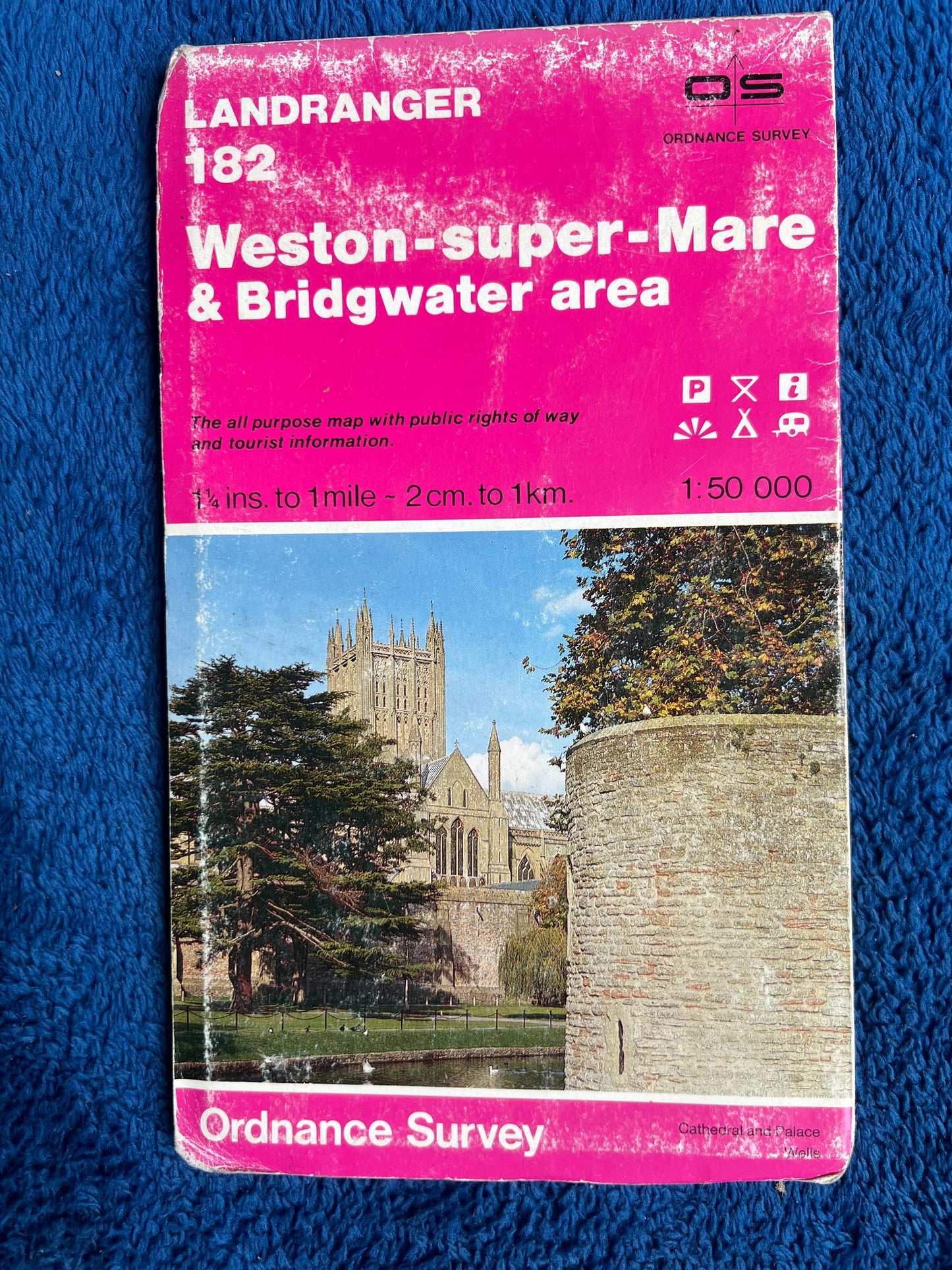
1970s + 80s Ordnance Survey Map of WESTON-SUPER-MARE & BRIDGEWATER AREA 1.25" to 1 Mile
1970s + 80s Ordnance Survey Map of WESTON-SUPER-MARE & BRIDGEWATER AREA 1.25" to 1 Mile
Regular price
£1.50
Regular price
Sale price
£1.50
Unit price
per
Tax included.
Shipping calculated at checkout.
Couldn't load pickup availability
Ordnance Survey Map of WESTON-SUPER-MARE & BRIDGEWATER AREA
1 1/4" to 1 Mile.
I have 3 of these maps, published in the 80s + 90s - see individual
options for date and photo
Good for navigating, putting on your wall, covering boxes, using as
wrapping paper etc