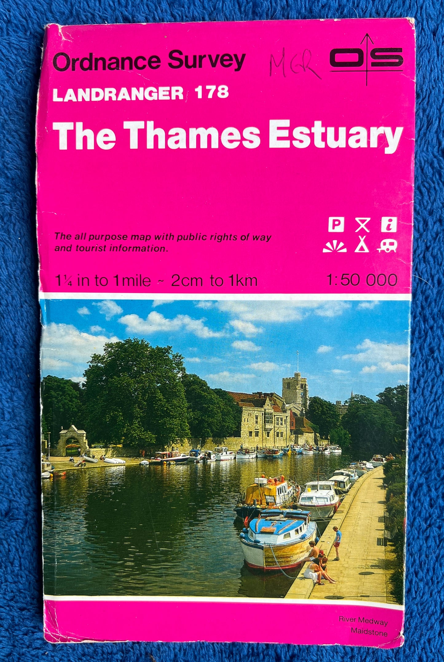
1974 to 1999 ORDNANCE SURVEY Map of THE THAMES ESTUARY SHEET 178
1974 to 1999 ORDNANCE SURVEY Map of THE THAMES ESTUARY SHEET 178
Regular price
£2.00
Regular price
Sale price
£2.00
Unit price
per
Tax included.
Shipping calculated at checkout.
Couldn't load pickup availability
Ordnance Survey Sheet no 142 of PETERBOROUGH and Surrounding Area
Please look at the 3rd photo for the area the map includes.
Printed on paper
The scale is 2cm to 1km or 1 1/4" to 1 mile
Perfect for navigating yourself, teaching your kids to navigate, showing your
kids what a map is, putting on your wall if you live here or love this area or even
for covering things..furniture, books, cupboards...
Would also, I think, make a unique present for someone born in that area in the year it was published.
The odd cover is a bit worn..you can see in the photos.. but the insides are clean.
I have several copies of this map - please see the individual photos and
descriptions for date and price.