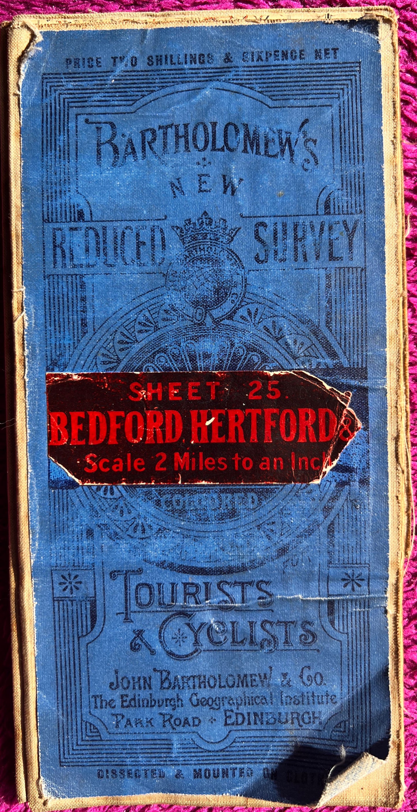
1900s Bartholomew’s Map of Bedford and Hertford Sheet 25.
1900s Bartholomew’s Map of Bedford and Hertford Sheet 25.
Regular price
£5.50
Regular price
Sale price
£5.50
Unit price
per
Tax included.
Shipping calculated at checkout.
Couldn't load pickup availability
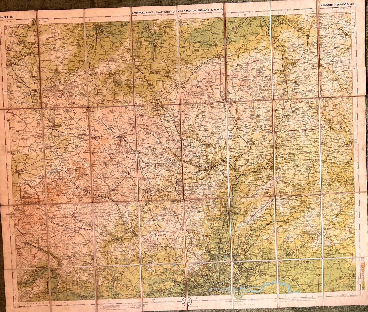
Bartholomew’s New Reduced Survey Map of Bedofrd and Hertford (Sheet 25) for Tourists and Cyclists
1911 – 1926
Colour printed, dissected, cloth backed
Scale Half Inch to a Mile
Newport Pagnell, Bedford and Haverhill along the top.
Maidenhead, North London and Orsett along the the bottom.
Fascinating details of long gone railways, and open country and little villages swallowed up by development.
The cover is worn but the inside is good.
I like worn covers, ad imagining who it was that studied this map so frequently 100 years ago !