1921 ORDNANCE SURVEY Contoured Road Map of WOLVERHAMPTON, Staffordshire & Shropshire. 1" to 1 Mile
1921 ORDNANCE SURVEY Contoured Road Map of WOLVERHAMPTON, Staffordshire & Shropshire. 1" to 1 Mile
Couldn't load pickup availability
Sheet no 61 WOLVERHAMPTON
Surveyed in 1872 - 85, Revised in 1898, 1905 and 1917 and printed in 1921, this is a lovely map of the Midlands from Wolverhampton in the South East to Stafford in the North East and including Ironbridge, Wellington and Newport.
Half the map - the area around Wolverhampton has been divided up with red pen into squares - see 3rd photo.
From the top left hand corner, working around the edge of the map, the places included are :
Preston Brockhurst, High Offley, Stafford, Wolverhampton and Much Wenlock.
The map shows aerodromes, farms, windmills, tramways, railways, orchards, hospitals, workhouses and vicarages..
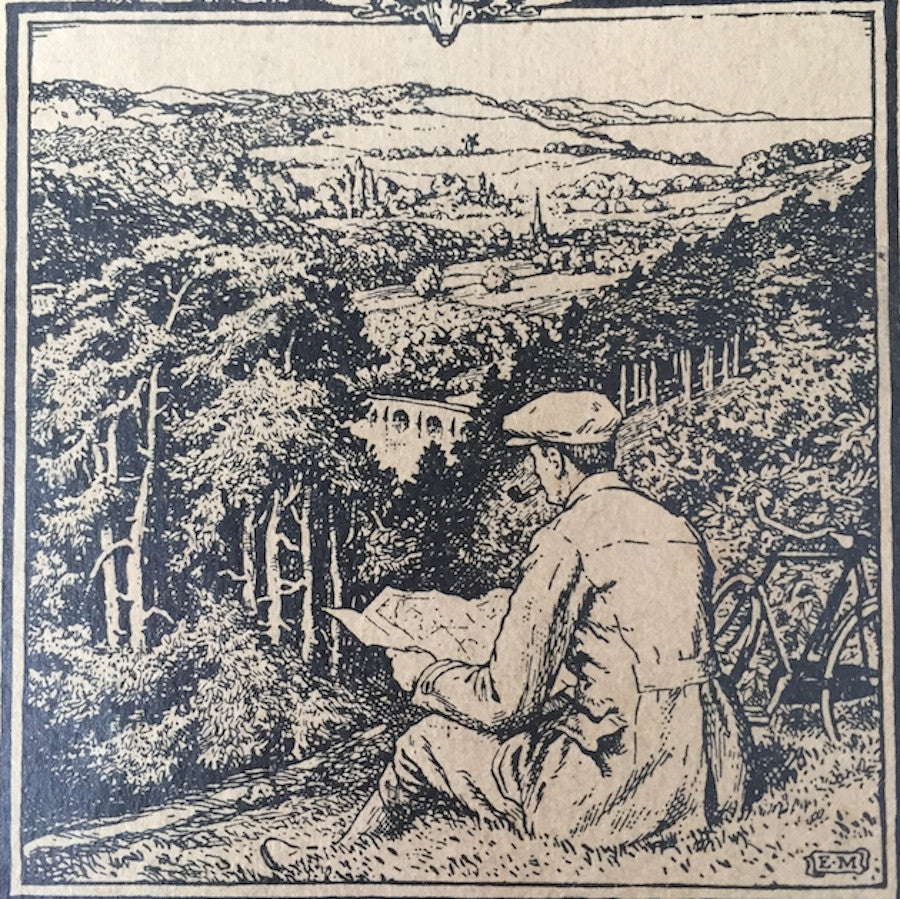
The scale is 1 inch to 1 mile and it is on cloth reinforced paper, with a wonderful picture of a man and his bike sitting on a hill overlooking some idyllic English countryside, studying his map !
Published by Authority of the Ministry of Agriculture and Fisheries.
There is some wear along the folds and joins