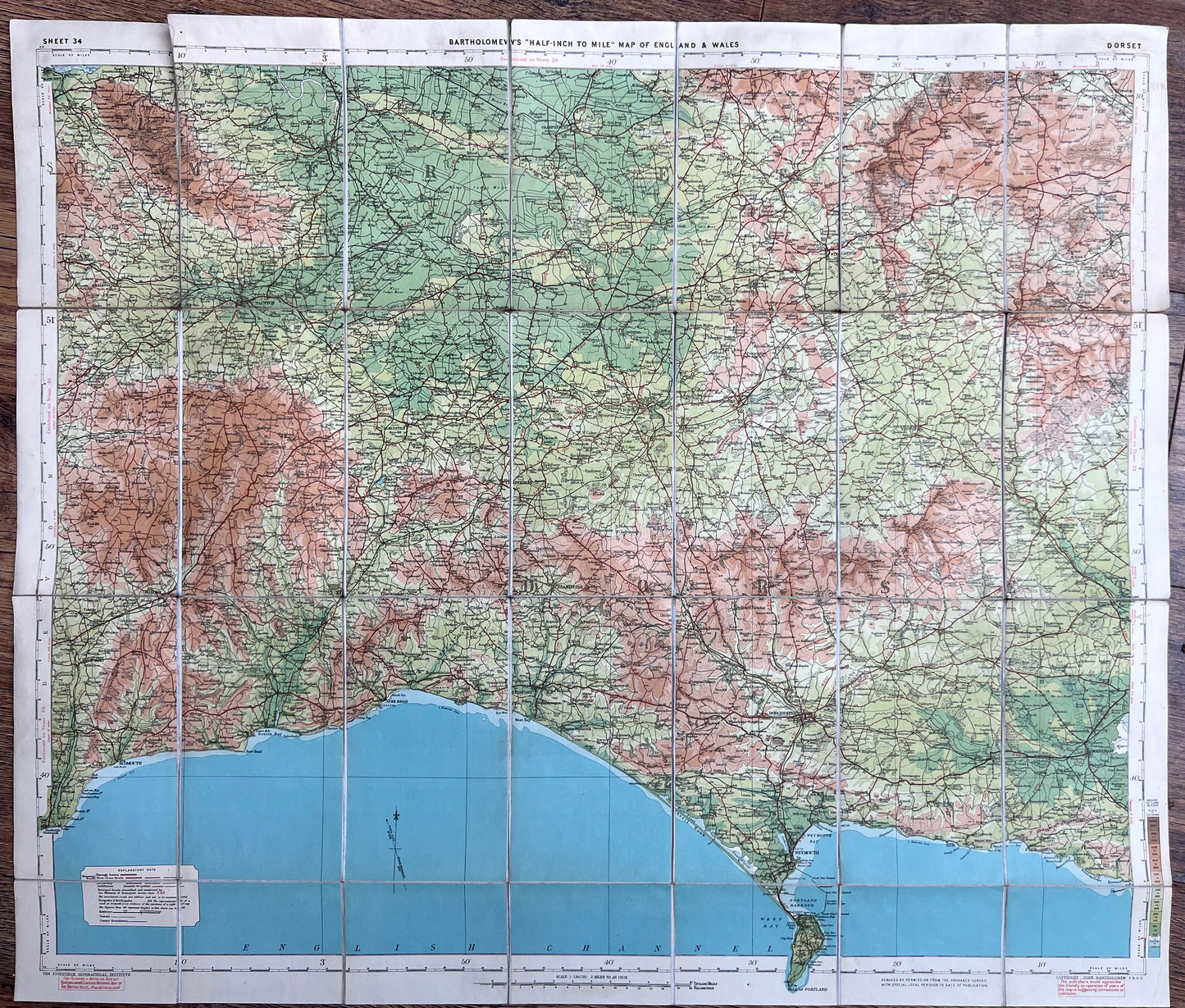
1920s Bartholomew's Map of DORSET and SOMERSET(Sheet 34)
1920s Bartholomew's Map of DORSET and SOMERSET(Sheet 34)
Regular price
£7.50
Regular price
Sale price
£7.50
Unit price
per
Tax included.
Shipping calculated at checkout.
Couldn't load pickup availability
Bartholomew’s Map of England and Wales Dorset and Somerset (Sheet 34)
2 miles to 1"
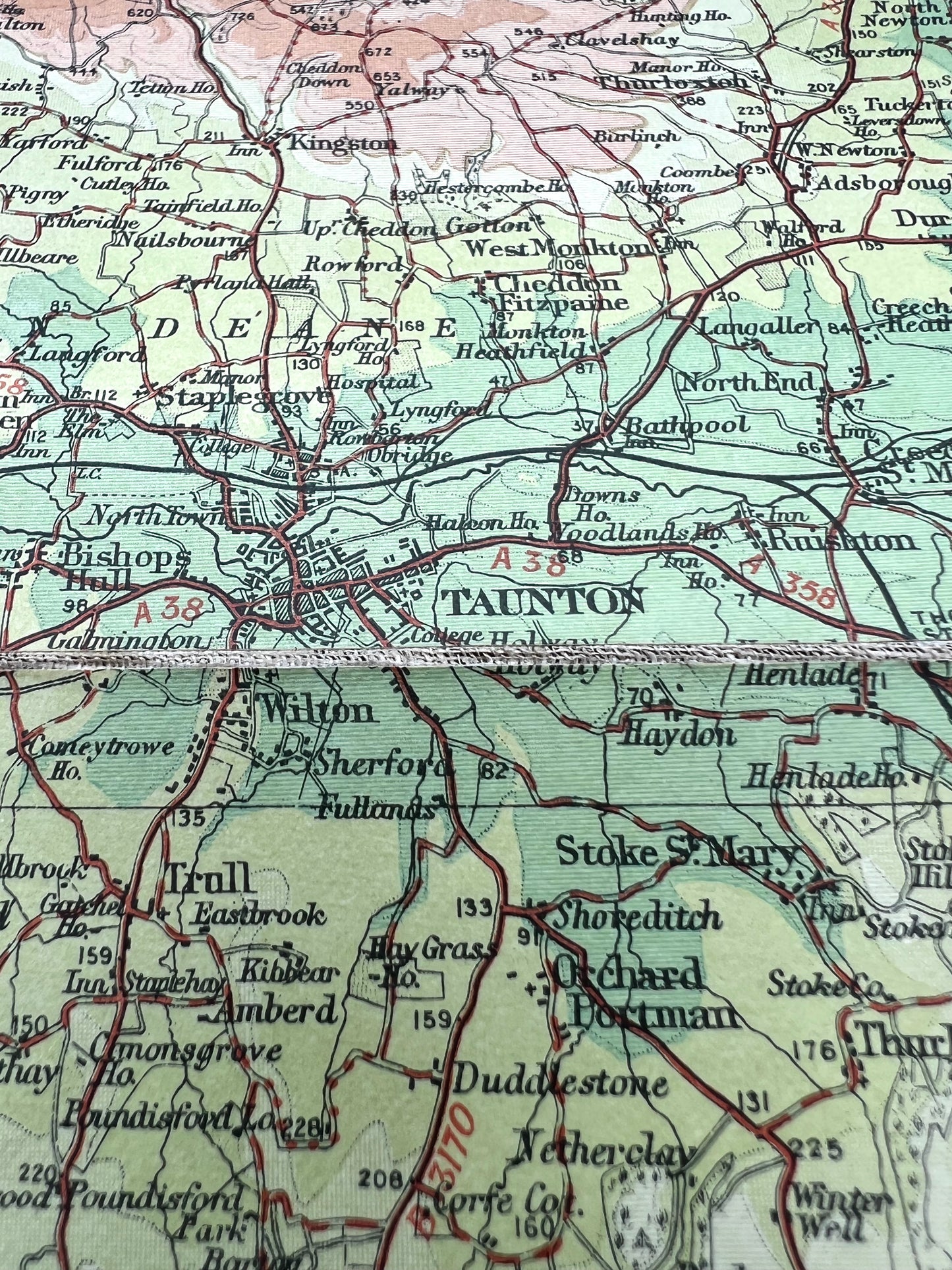
A detailed and most attractive 1920s (undated) map of Dorset and parts of Somerset.
Fascinating details - camps, stately homes, ancient sites, old railway stations, lots of long disappeared landmarks, a tiny little Taunton !
Colour printed paper, cloth backed, dissected.
A little tear along one of the folds, otherwise very good.