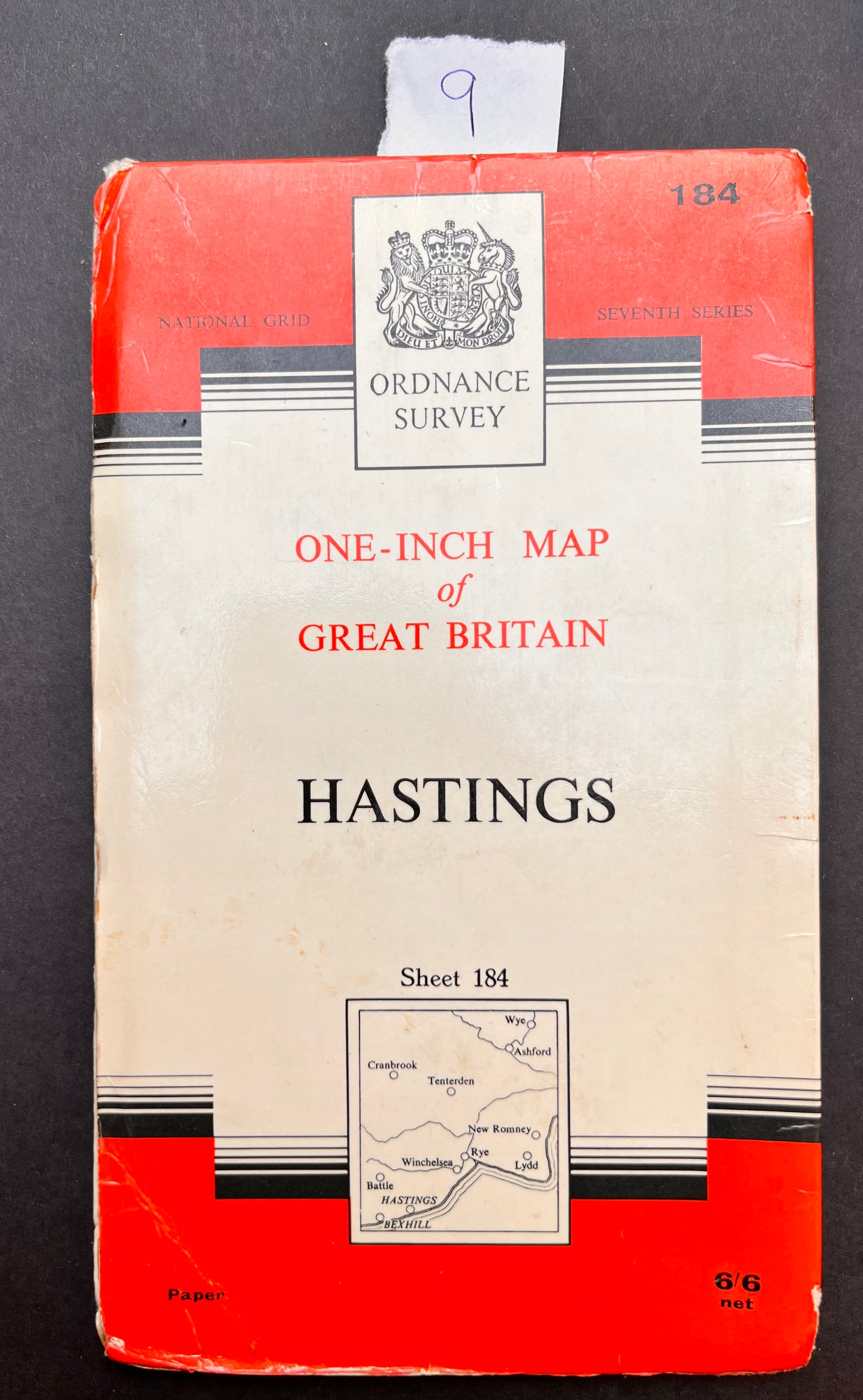
1950s ORDNANCE SURVEY Map of Hastings
1950s ORDNANCE SURVEY Map of Hastings
Regular price
£5.00
Regular price
Sale price
£5.00
Unit price
per
Tax included.
Shipping calculated at checkout.
Couldn't load pickup availability
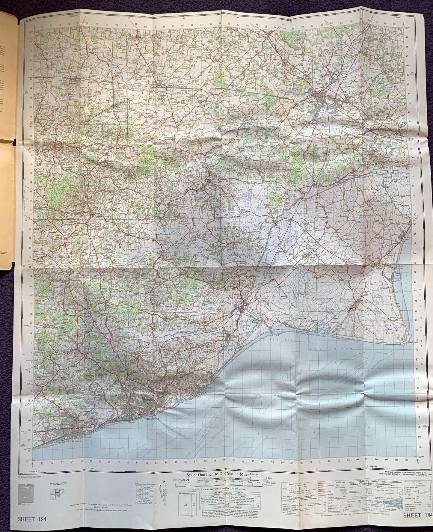
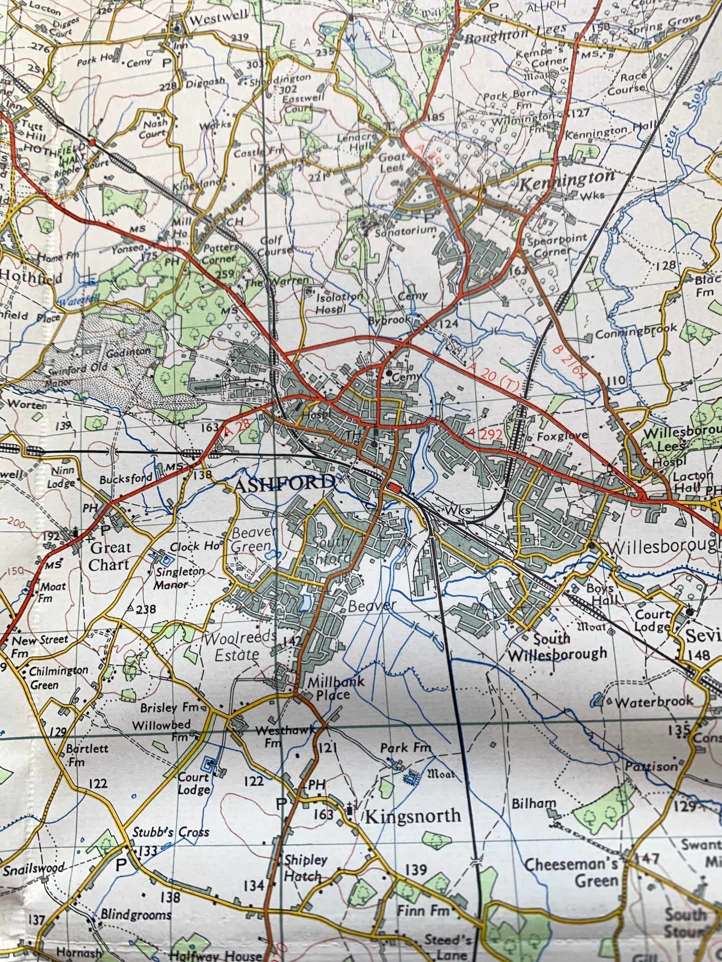
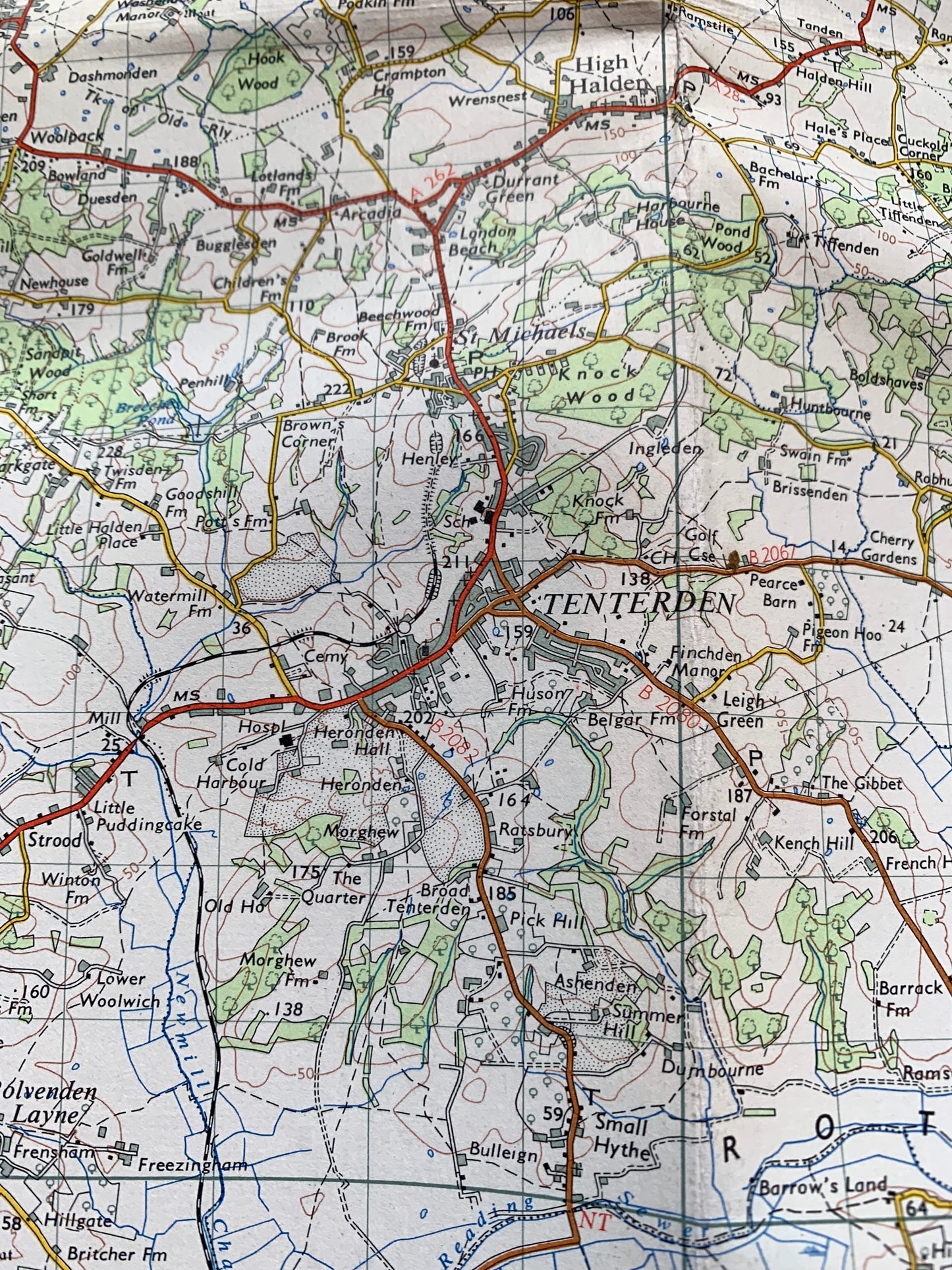
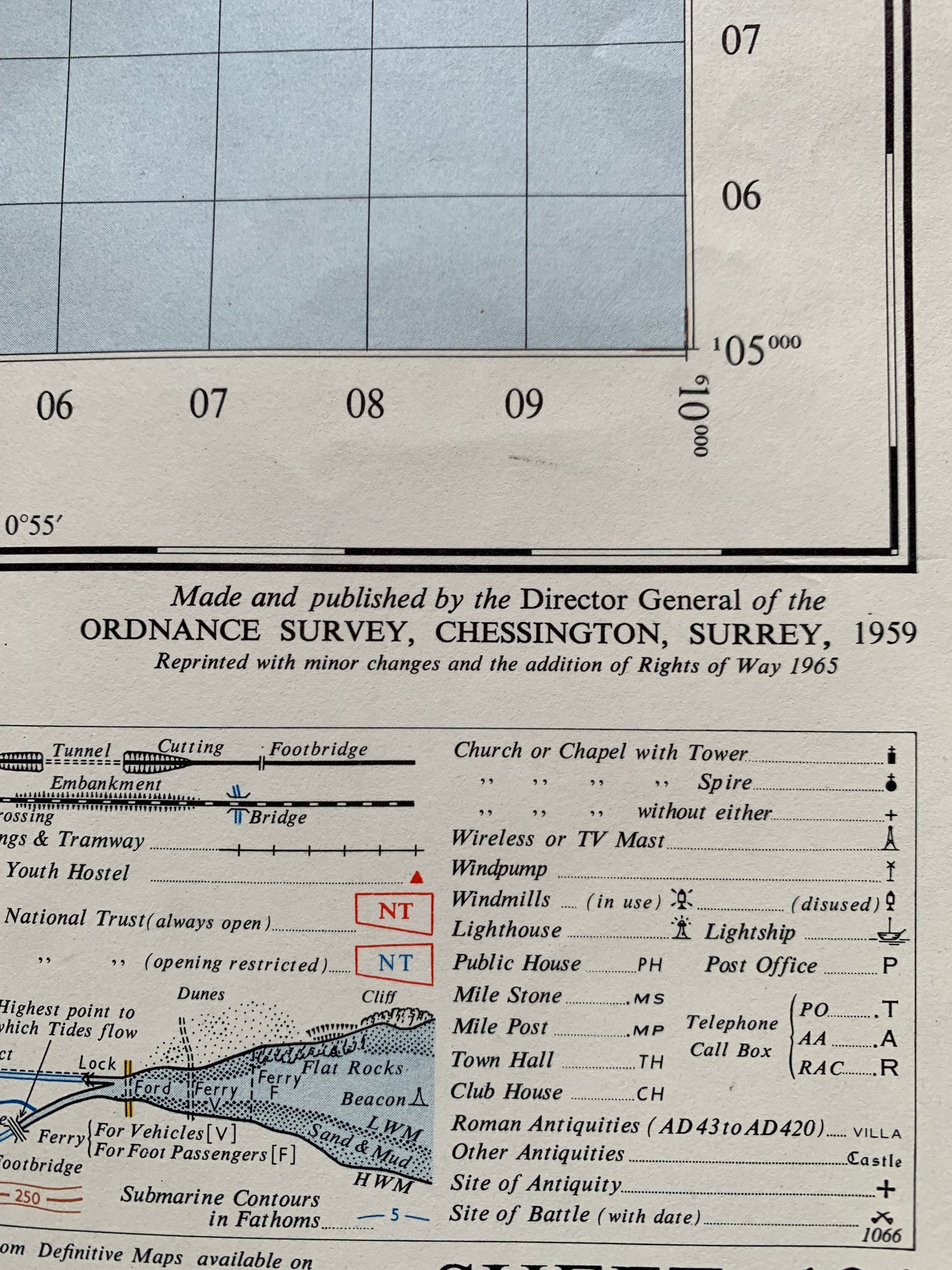
Published in 1959. Sheet no 184 of Hastings and surrounding area including Bexhill, Battle, Cranbrook, Tenterden, Winchelsea, Rye, Lydd, New Romney, Ashford.
Please look at the photos for the area and fascinating details that the map includes
The scale is 1 inch to 1 mile
I have 4 copies of this map some on cloth, some on paper - please see the individual photos and descriptions for condition and price.