1
/
of
8
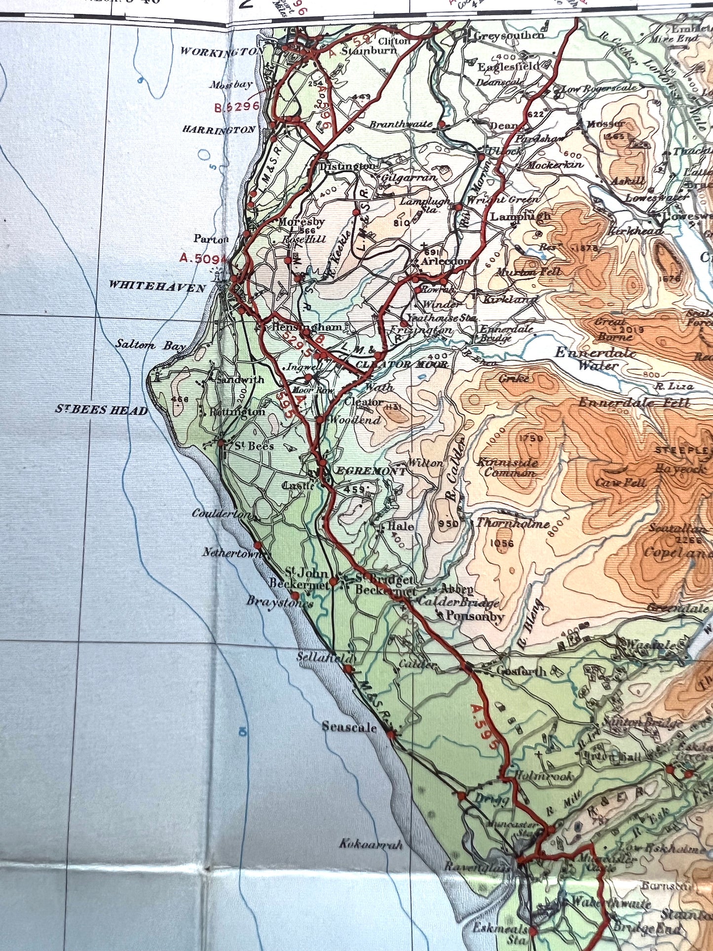
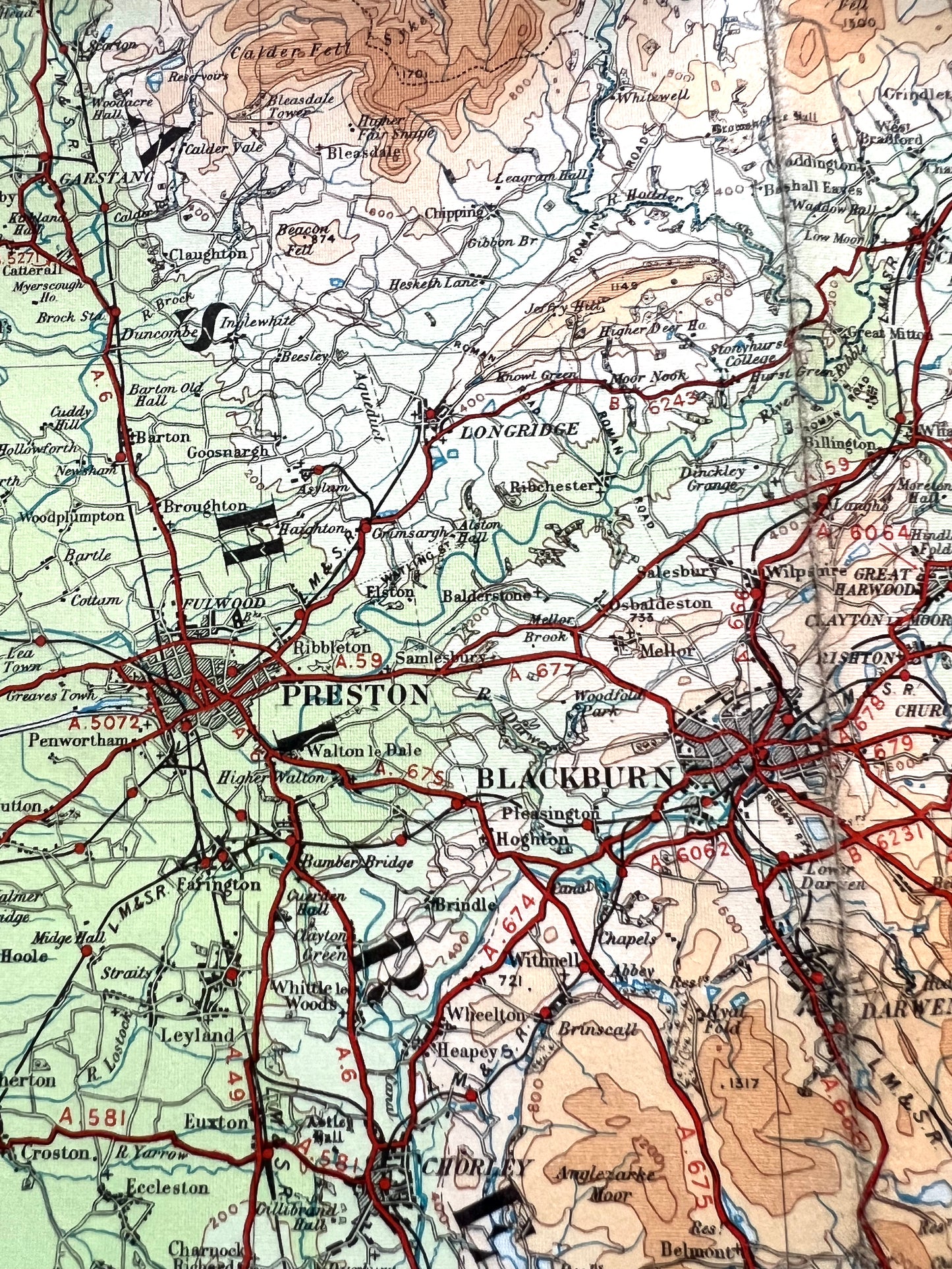
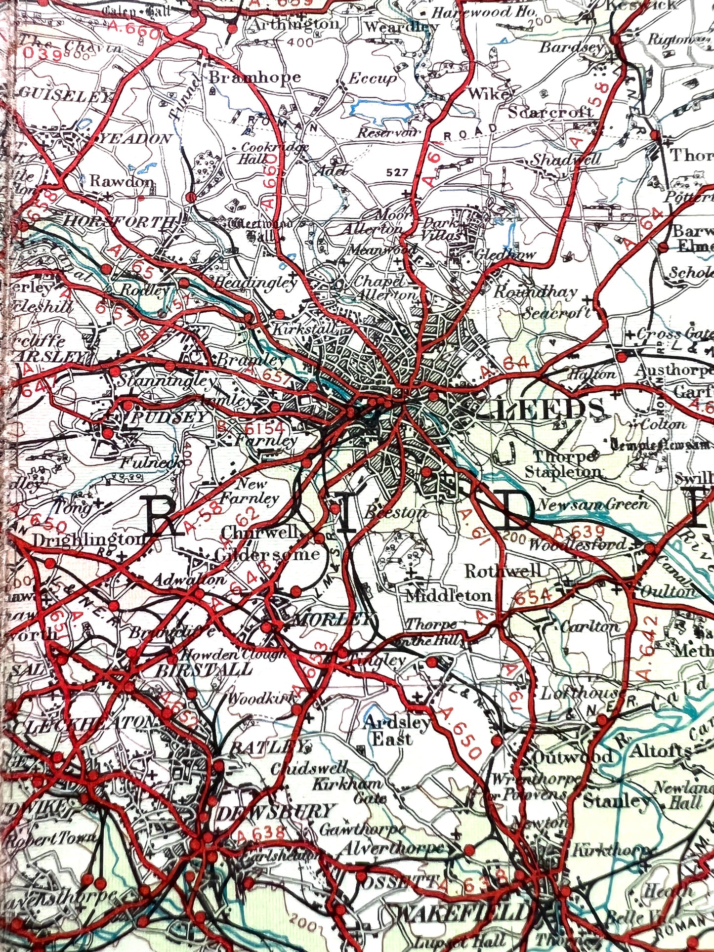
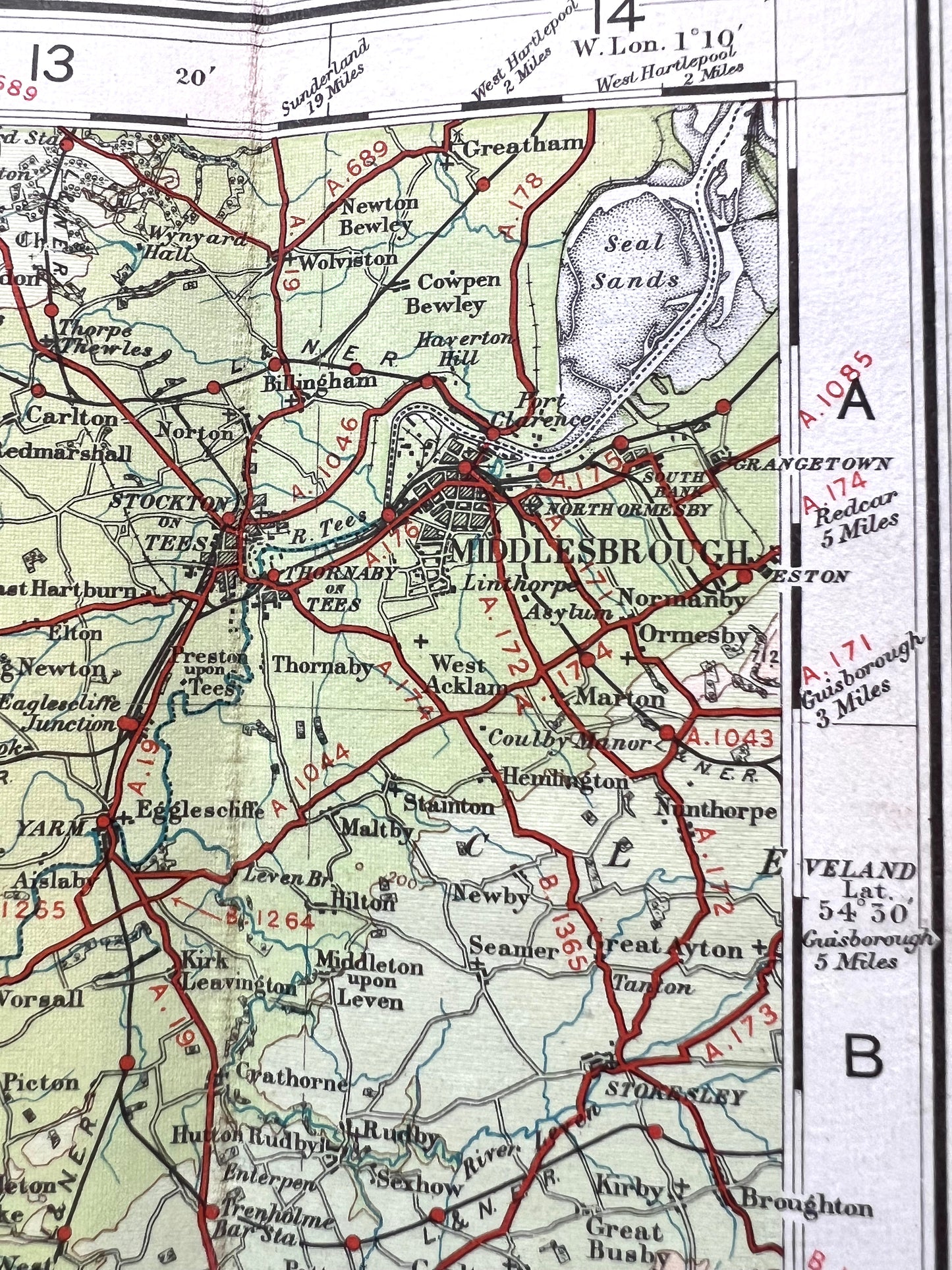
Detailed 1920s ORDNANCE SURVEY Contoured MAP of North Central England incl WESTMORELAND, NORTH YORKSHIRE, NORTH WEST LANCASHIRE
Detailed 1920s ORDNANCE SURVEY Contoured MAP of North Central England incl WESTMORELAND, NORTH YORKSHIRE, NORTH WEST LANCASHIRE
Regular price
£7.50
Regular price
Sale price
£7.50
Unit price
/
per
Tax included.
Shipping calculated at checkout.
Couldn't load pickup availability
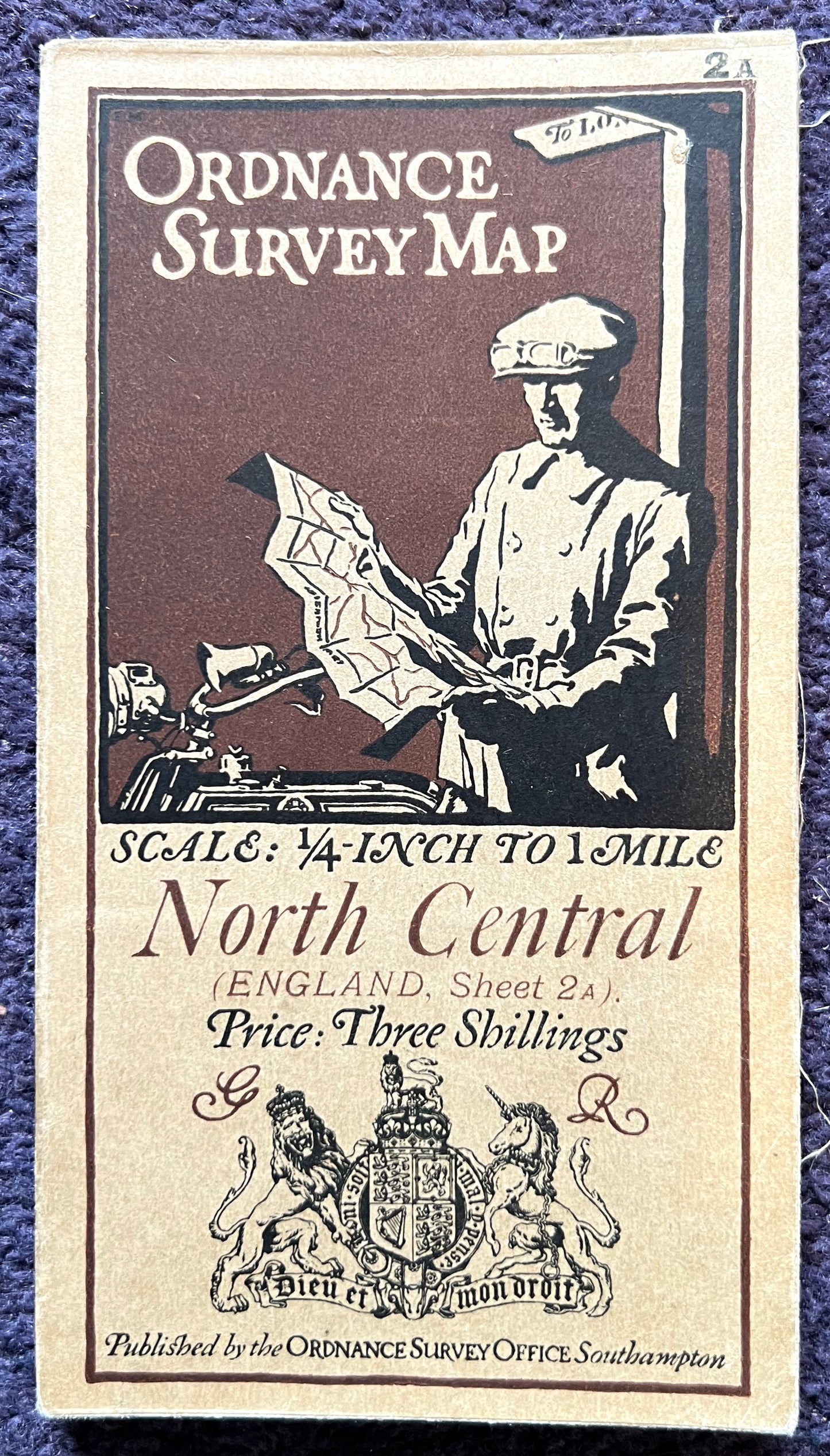
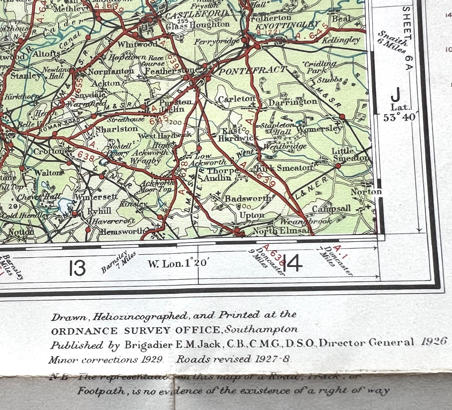
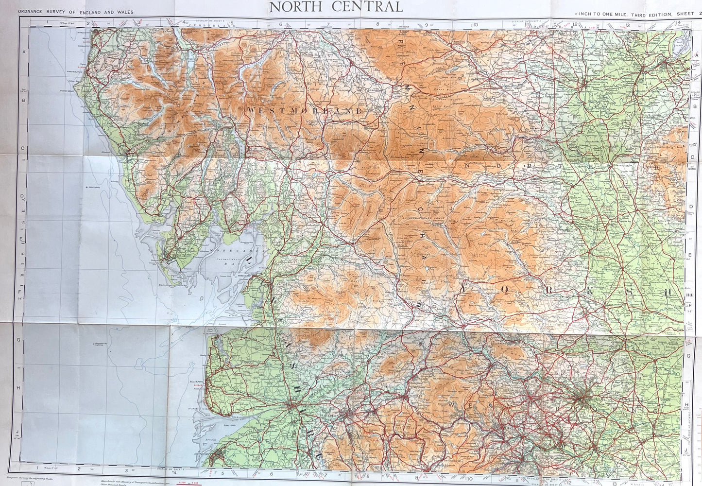
1926 map, with corrections to 1929 this is a most interesting map of North Central England in the 1920s.
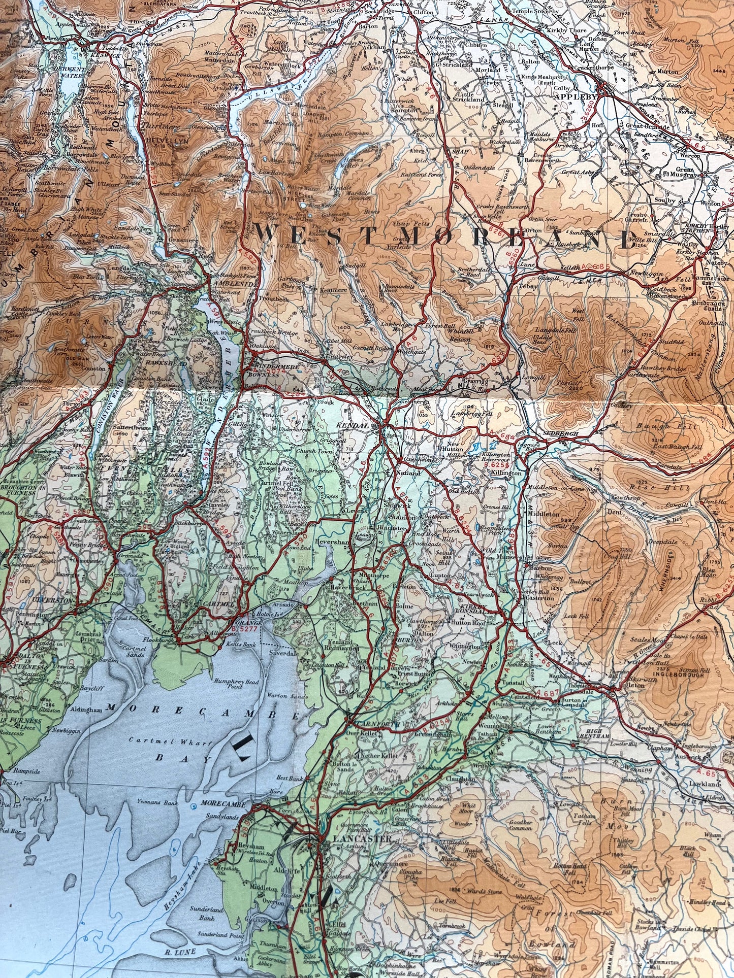
It is colour coded for contours - green being the closest to sea level.
The odd Submarine contours too.
The map shows stately homes, ironworks, railways and tiny stations, and no motorways at all
The scale is 1/4 inch to 1 mile and it is on cloth .
It is in excellent condition.
Please look at the photos for the area that it covers.
Share
