
1930s Map of Essex -Bartholomew's, Cloth Backed.
1930s Map of Essex -Bartholomew's, Cloth Backed.
Regular price
£6.00
Regular price
Sale price
£6.00
Unit price
per
Tax included.
Shipping calculated at checkout.
Couldn't load pickup availability
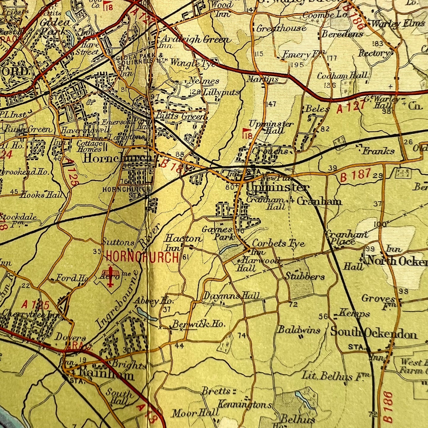
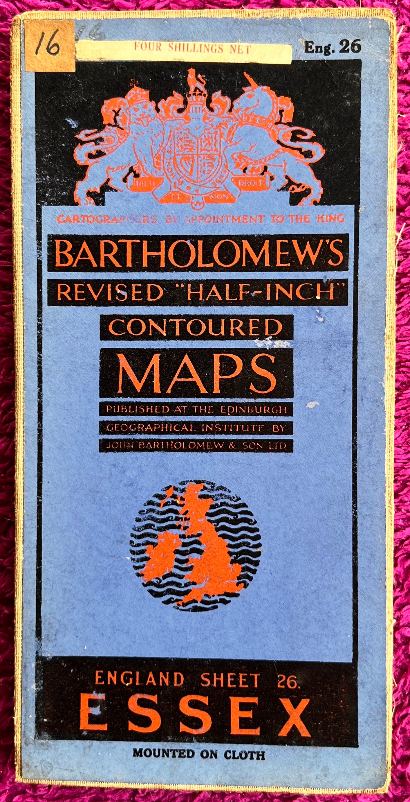
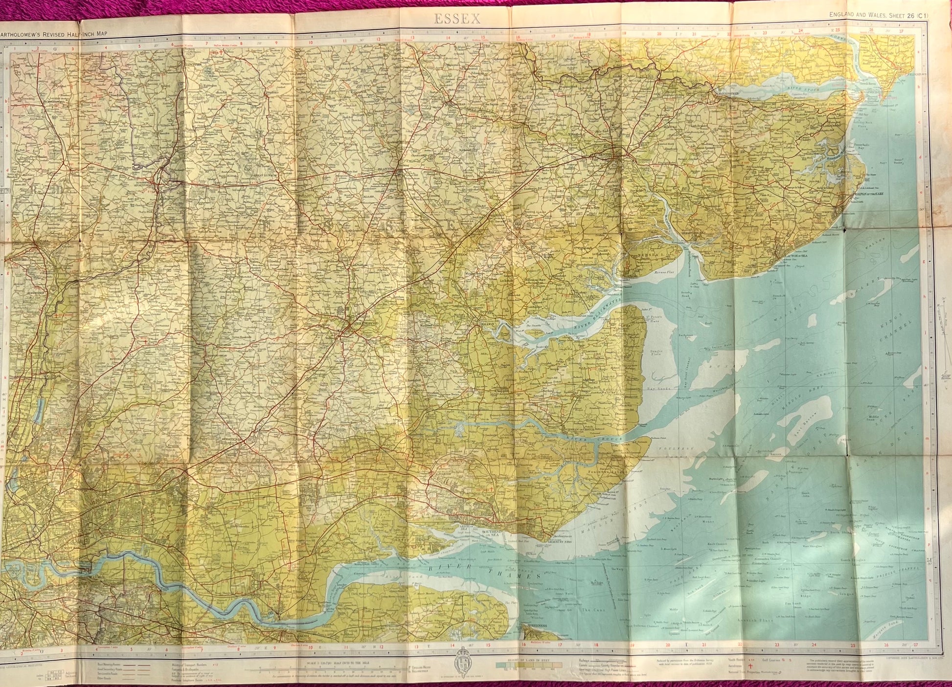
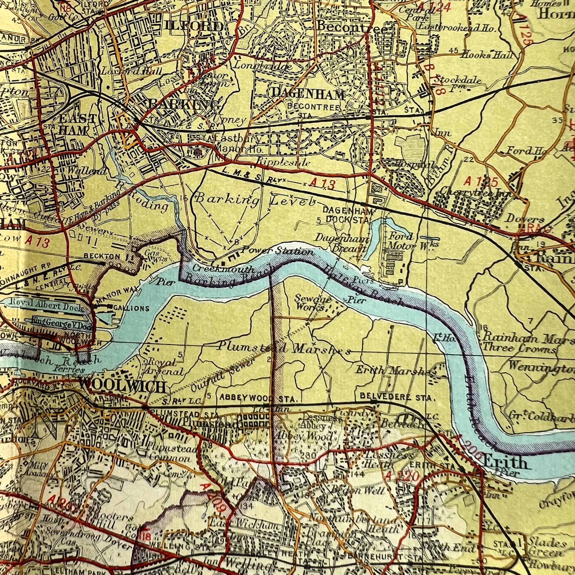
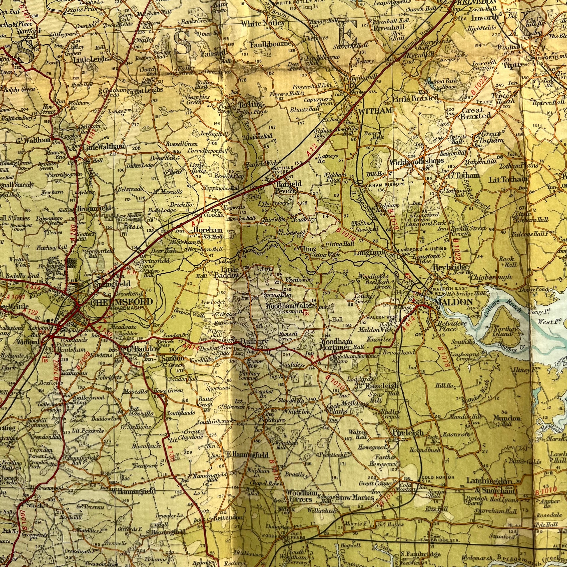
Bartholomew’s Revised Half Inch Map of Essex (Sheet 26)
Revisions to 1939
Colour printed cloth backed
Scale Half Inch to a Mile
Original price four shillings
Throcking to Felixstowe along the top
Sheerness to Lewisham along the bottom
Good condition - just a few holes at the joins.
Lots of fascinating details on this map showing the railways, rivers, villages and towns northeast of London, (many of which have now been incorporated into London)
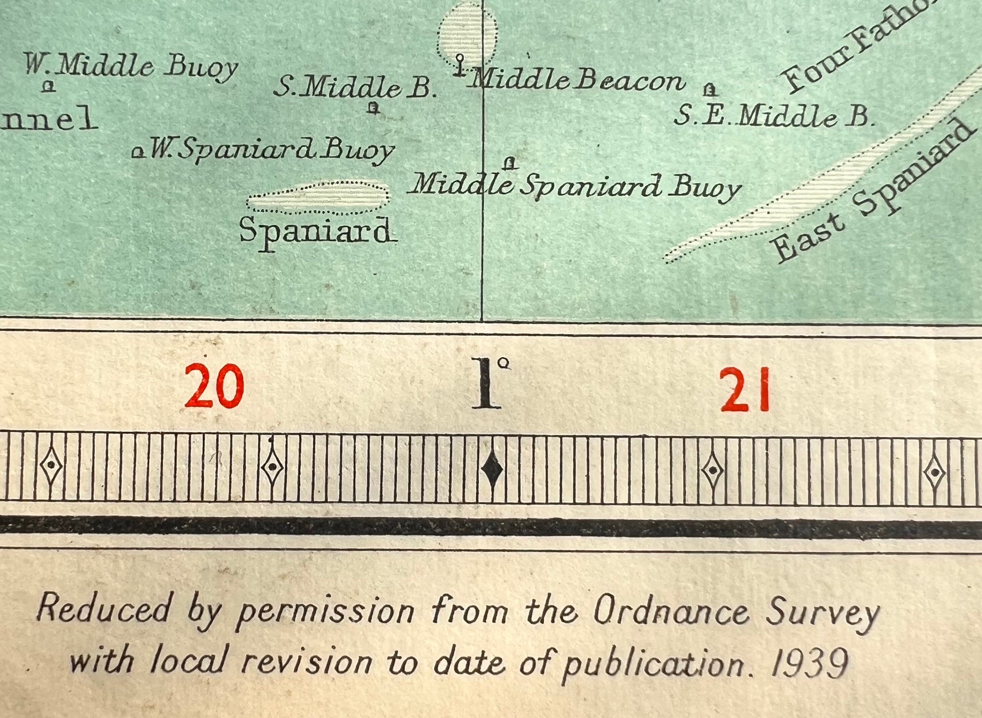
Also good detail in the sea areas showing sand banks and channels.