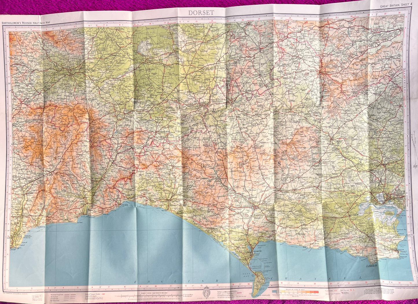

1940/50s Map of Dorset and surrounding Area incl. Shaftesbury, Lyme Regis, Sidmouth, Taunton
1940/50s Map of Dorset and surrounding Area incl. Shaftesbury, Lyme Regis, Sidmouth, Taunton
Regular price
£5.00
Regular price
Sale price
£5.00
Unit price
per
Tax included.
Shipping calculated at checkout.
Couldn't load pickup availability
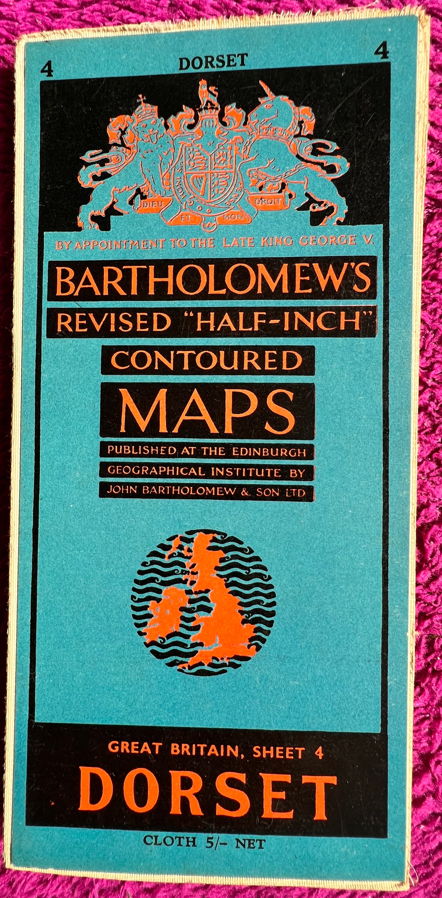
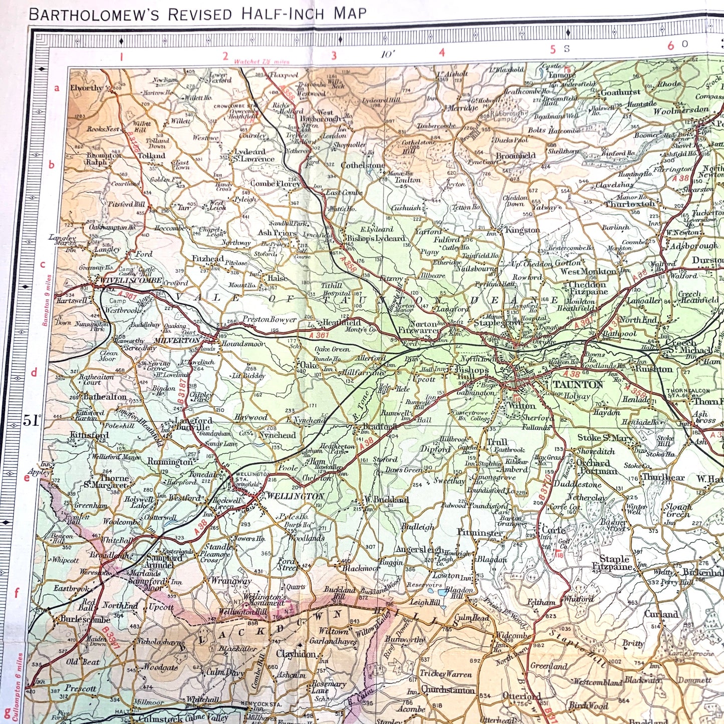
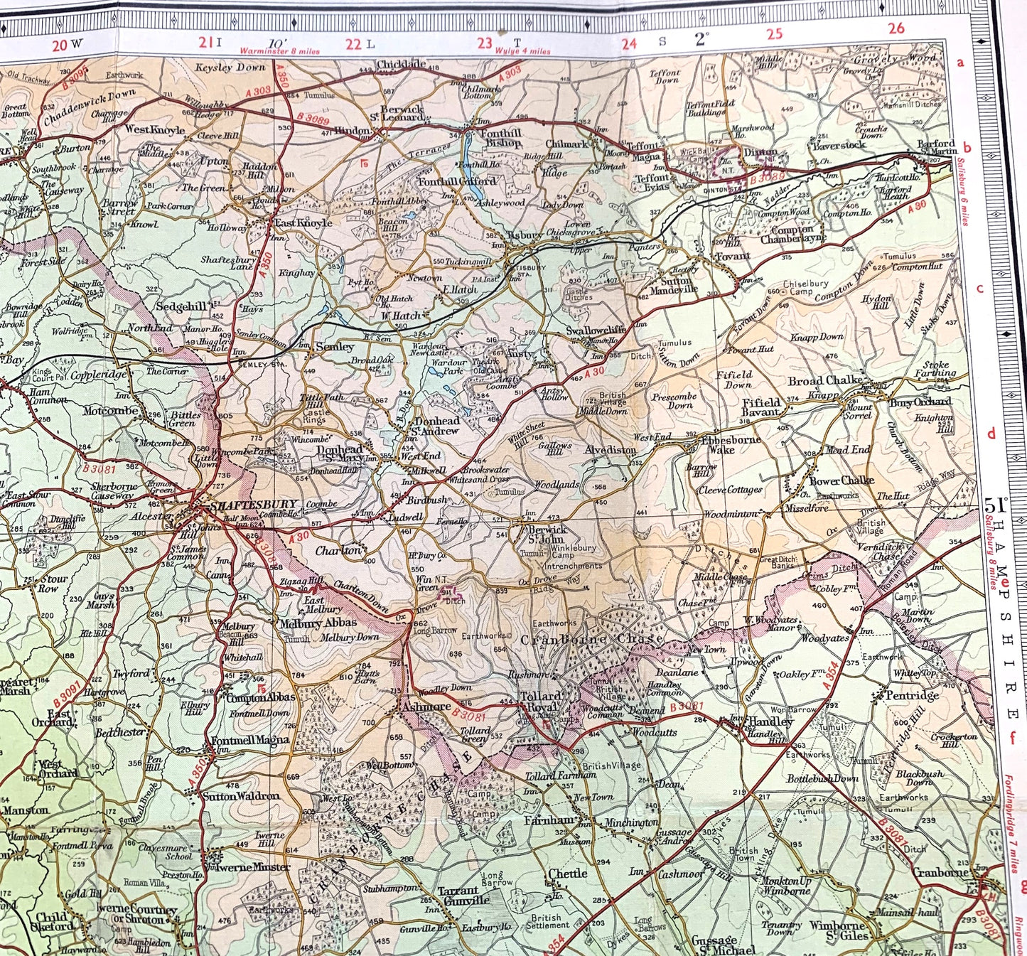
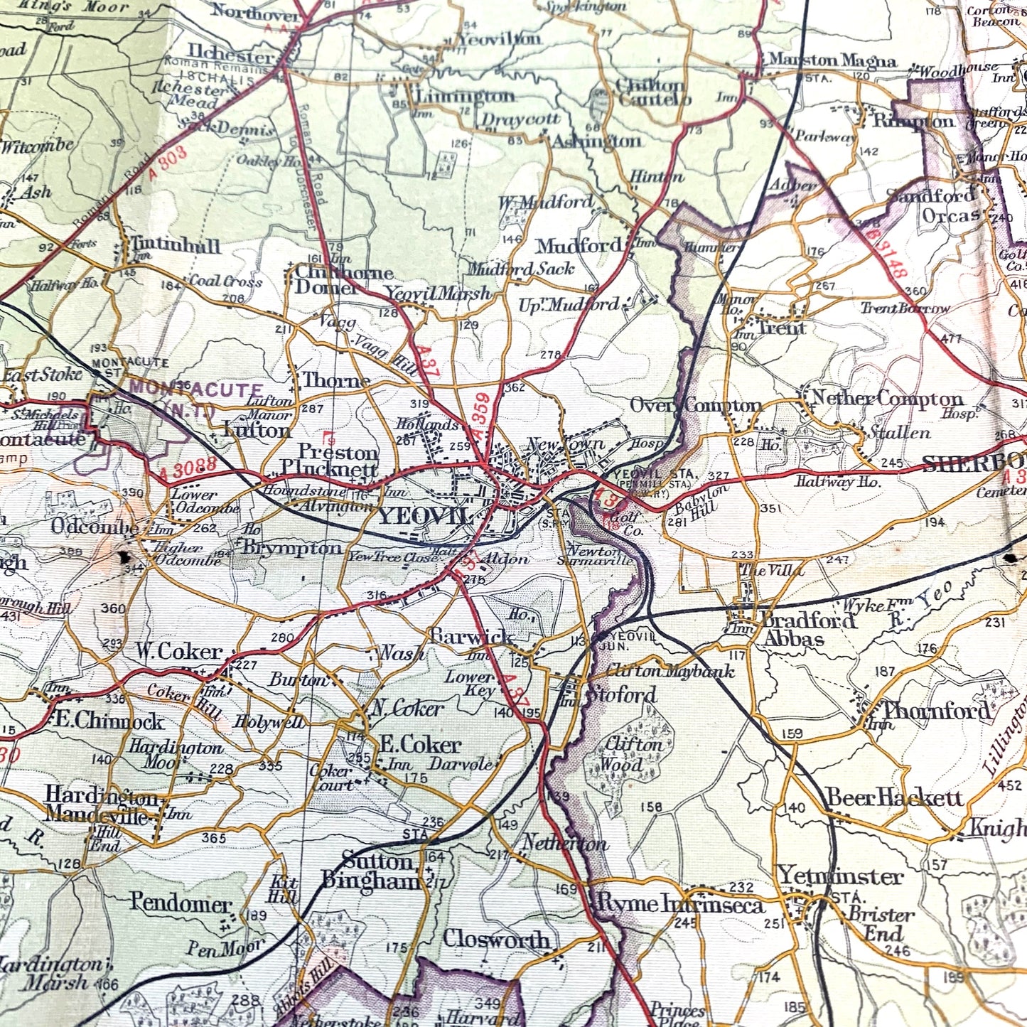
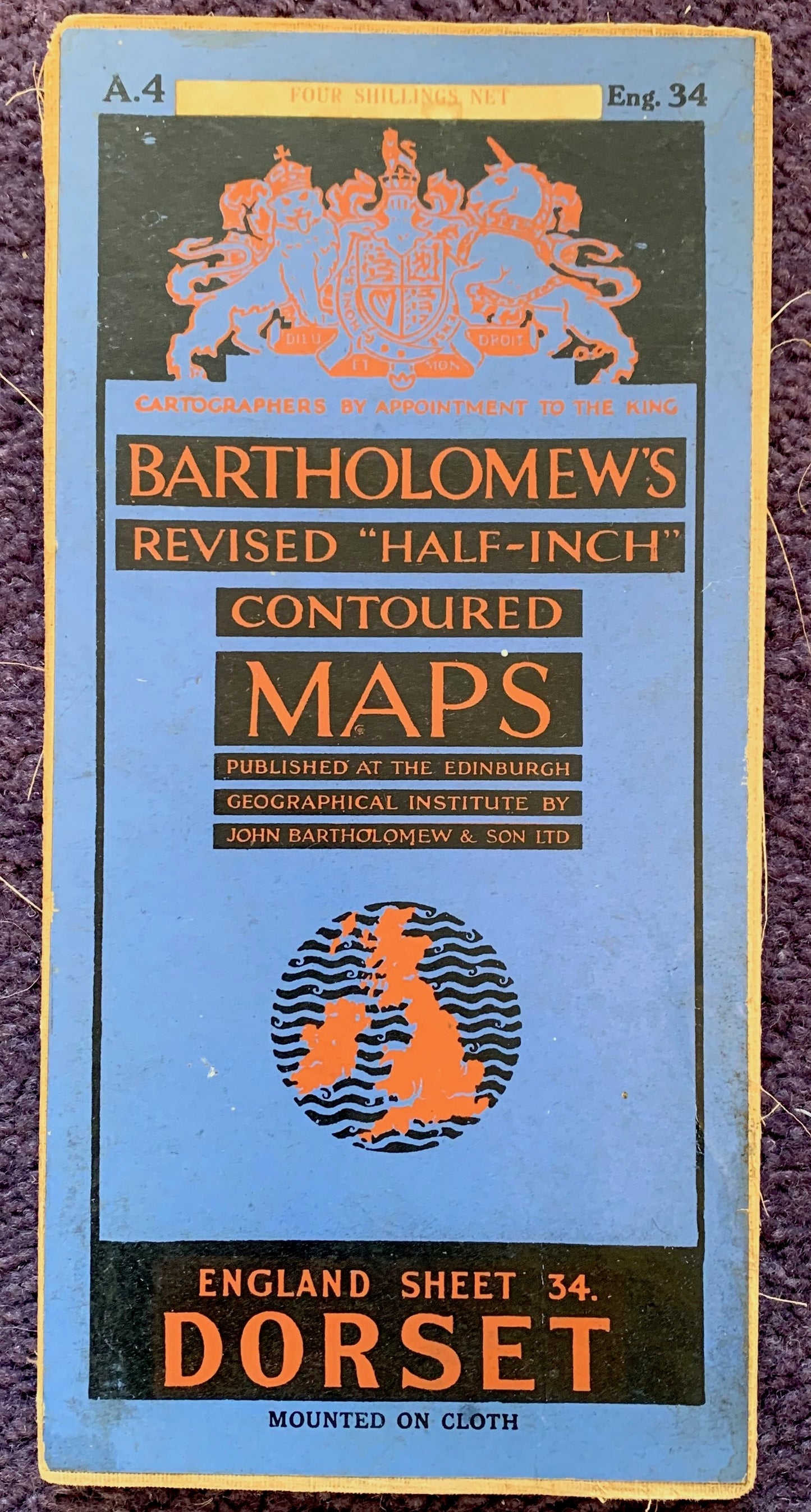
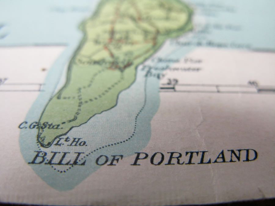
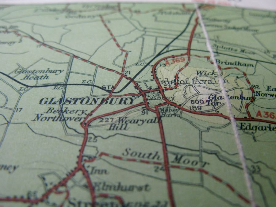
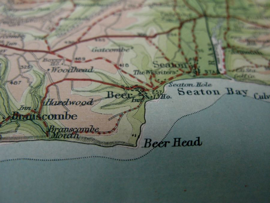
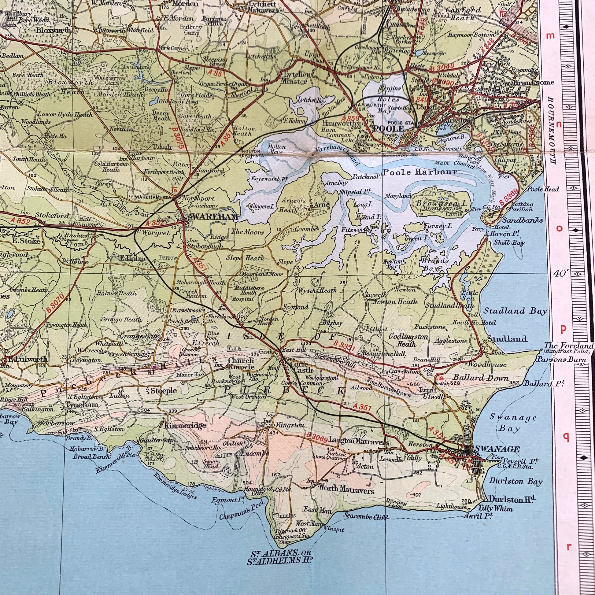
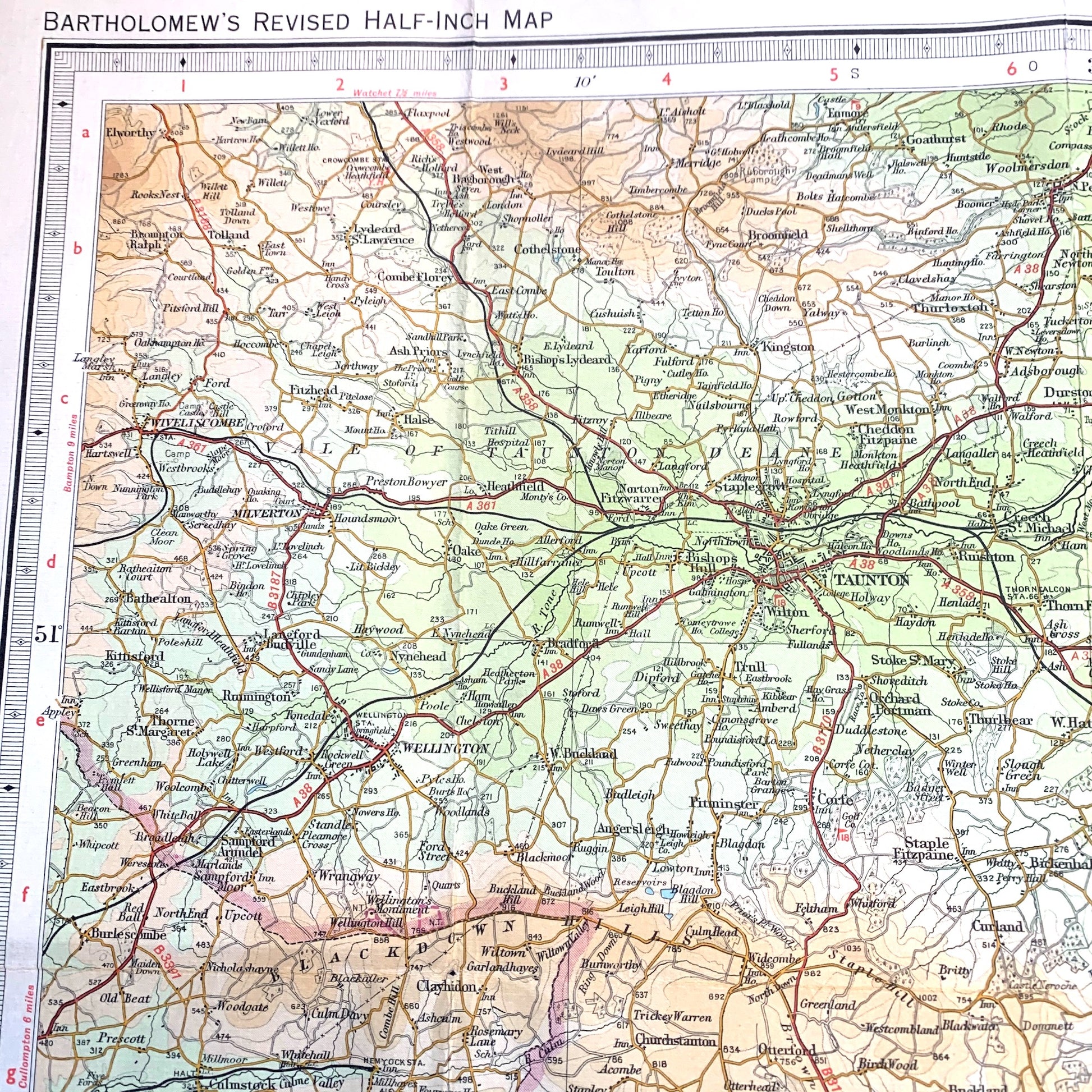
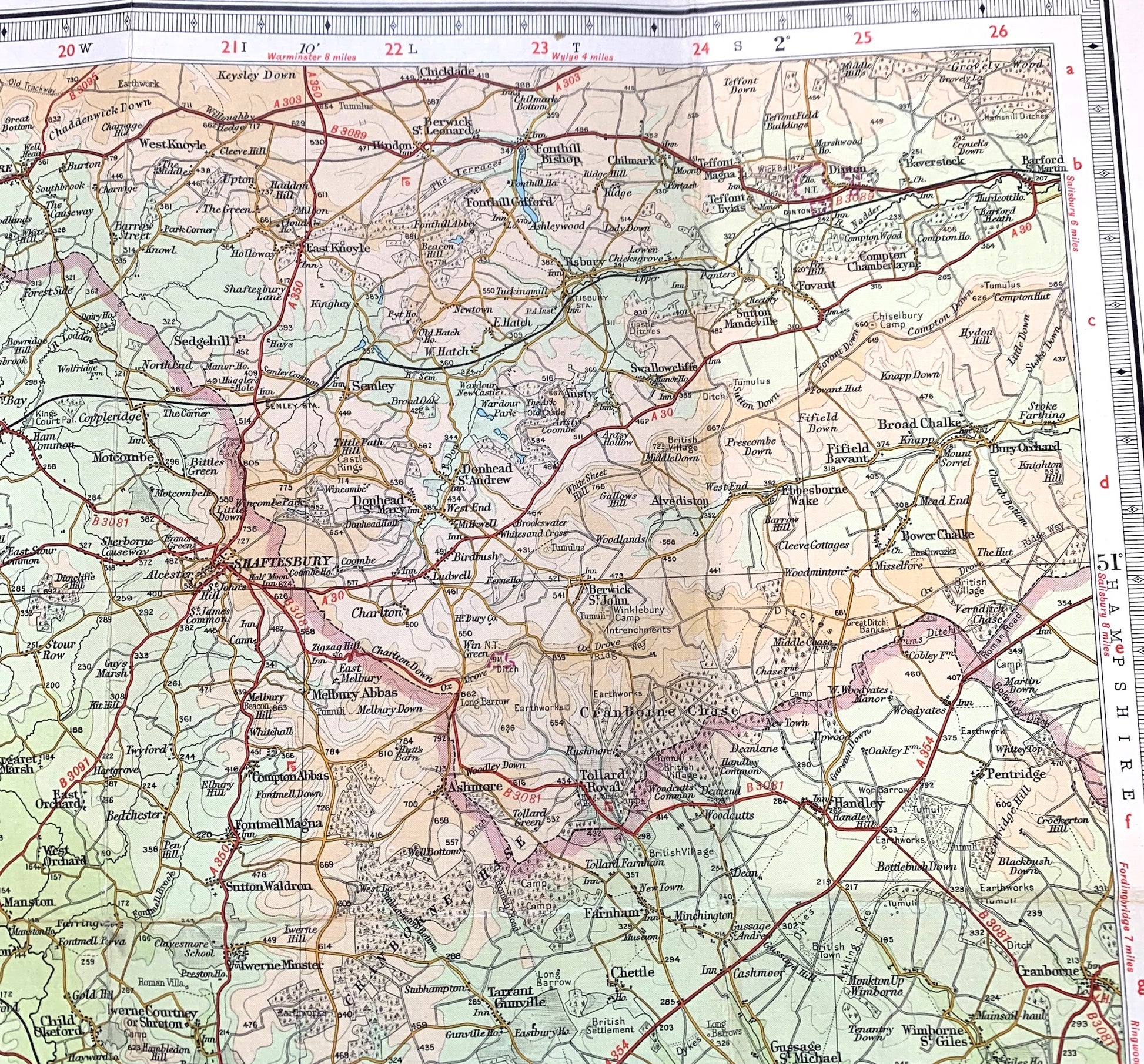
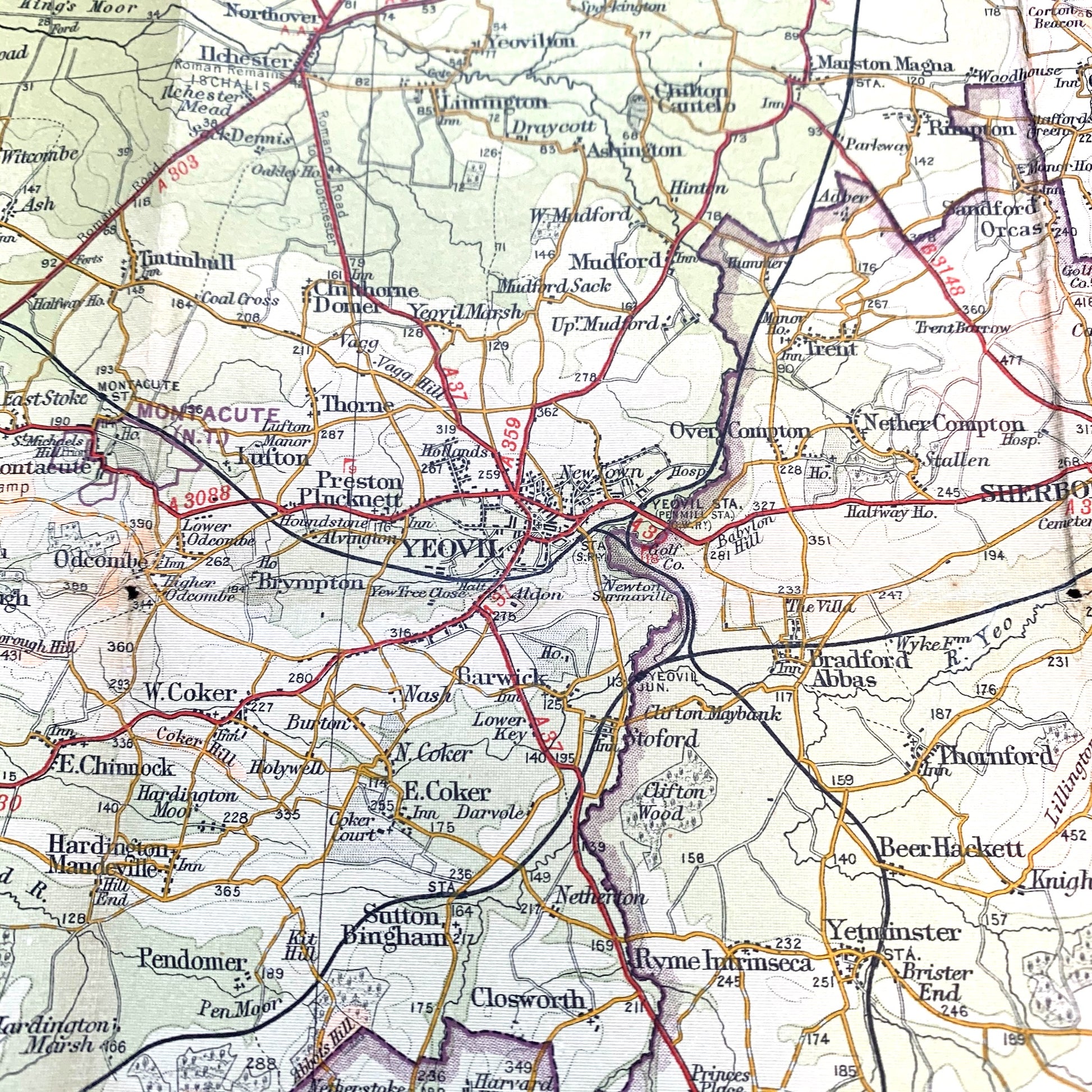
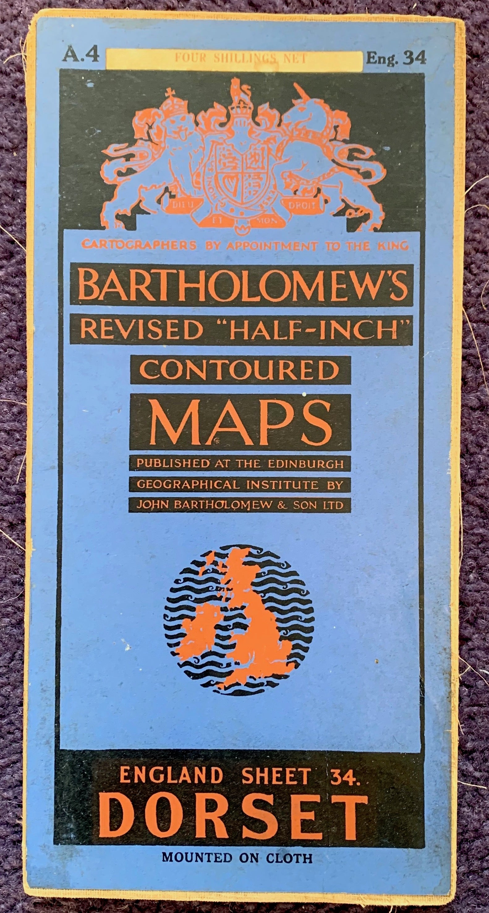
Bartholomew’s Revised "Half-Inch" Contoured Map of Dorset (Sheet 4)
1940s/50s map with revisions to 1951
Colour printed cloth backed.
Scale Half Inch to a Mile
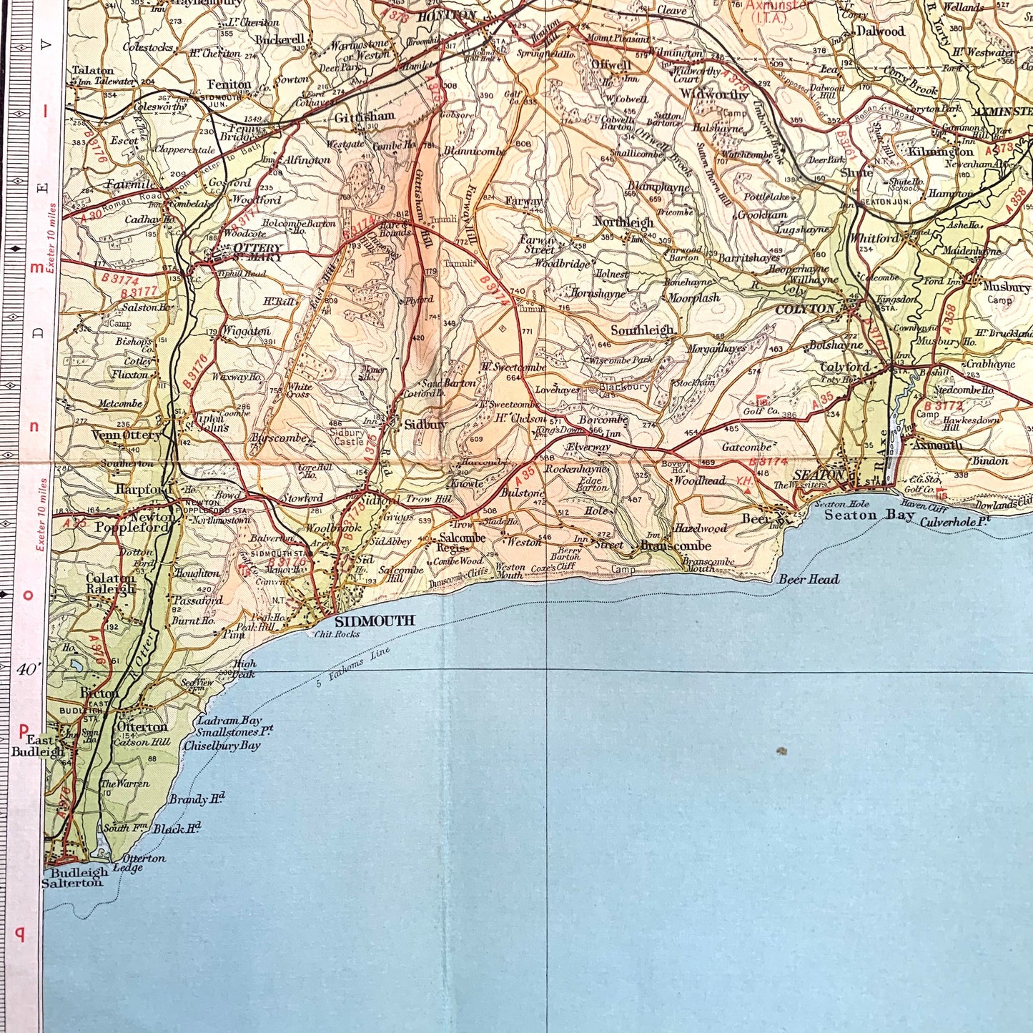
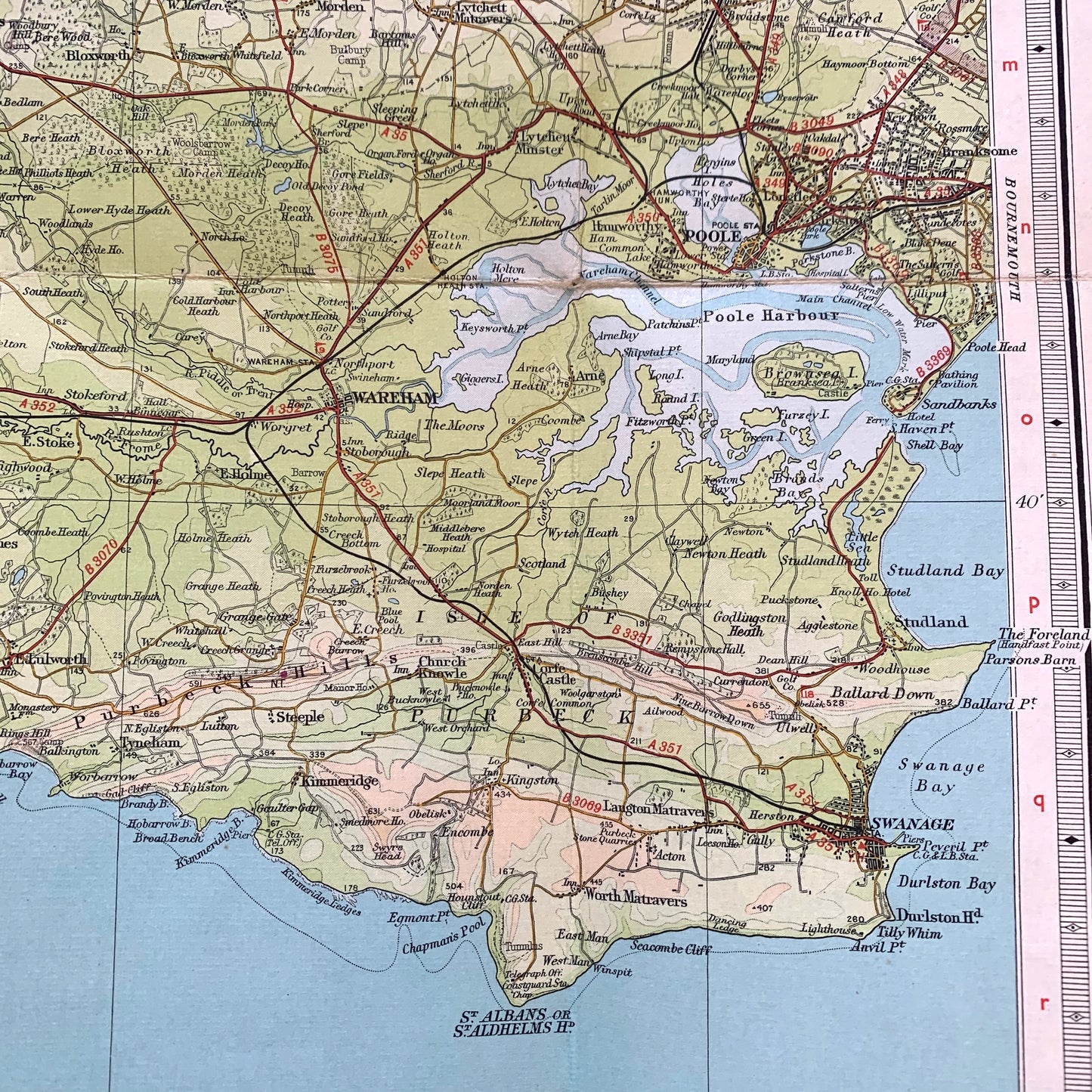
Wonderful detail - aerodromes, railway stations, golf courses, stately homes, youth hostels, radio stations, overhead power lines and a lot more trees and a lot less building.
Weymouth – Lyme Regis –Sidmouth – Taunton – Wincanton - Shaftesbury – Yeovil - Dorchester - Swanage