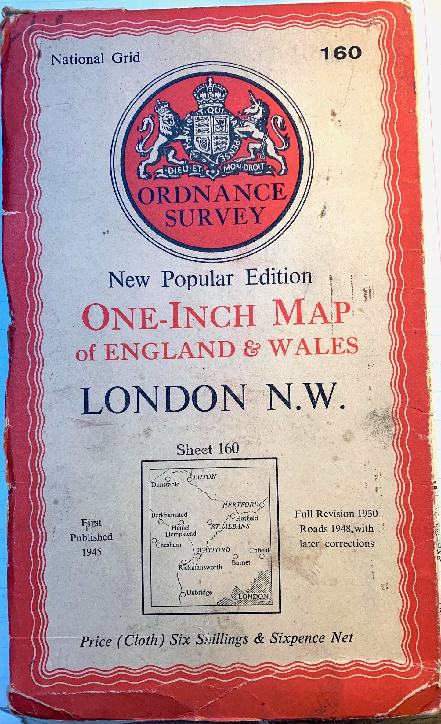
Fascinating 1940s and 50s ORDNANCE SURVEY MAPS of N.W. LONDON, Middlesex + Hertfordshire 1" to 1 Mile
Fascinating 1940s and 50s ORDNANCE SURVEY MAPS of N.W. LONDON, Middlesex + Hertfordshire 1" to 1 Mile
Couldn't load pickup availability
Sheet no 160 LONDON N.W.
I have several of these maps published at different times - please see the list below for dates and condition.
The map includes Central and North West London out to Slough beyond Heathrow.
To the North it goes as far as Dunstable, Luton and Harpenden, including Welwyn, St Albans and Watford.
To the West it goes to Chesham and Berkhamsted and to the East to Hertford, Enfield, Dalston
To the South Uxbridge and Acton and North of the Thames.
The map has lots of fascinating details - long gone farms, aerodromes, schools, hospitals, golf courses and woods.. fascinating !
The scale is 1 inch to 1 mile and it is on paper or cloth.
Would look wonderful on a wall to... to help you reflect on ...Progress...
I have several of these maps all with variously worn covers - the photo of the cover will appear when you click on each maps number.
Map 1 - On Cloth. Published 1945, later road revisions. Very good condition inside.
Map 2 On Paper. Published 1945, later road revisions. - worn at edges and along folds.
Map 3 - On paper. Published 1945, later road revisions. Good condition inside - a few places circled in blue.
Map 4 - On paper. Published 1945, later road revisions. Pen on the front, good condition inside - couple of places circled in pen.
Map 5 - On paper. Published 1945, later road revisions. Excellent condition inside.
Map 6. On paper. published 1958. Covers slightly different area - Harpenden is most Northerly point, but goes further South - down to Wimbledon.
First of these maps to show london Airport. Good condition inside - just a few holes at some of the fold joins.
Map 7. On paper - Published in 1963. Covers same area as map above - but no M1 yet. Good cover and excellent condition inside.


