1
/
of
3
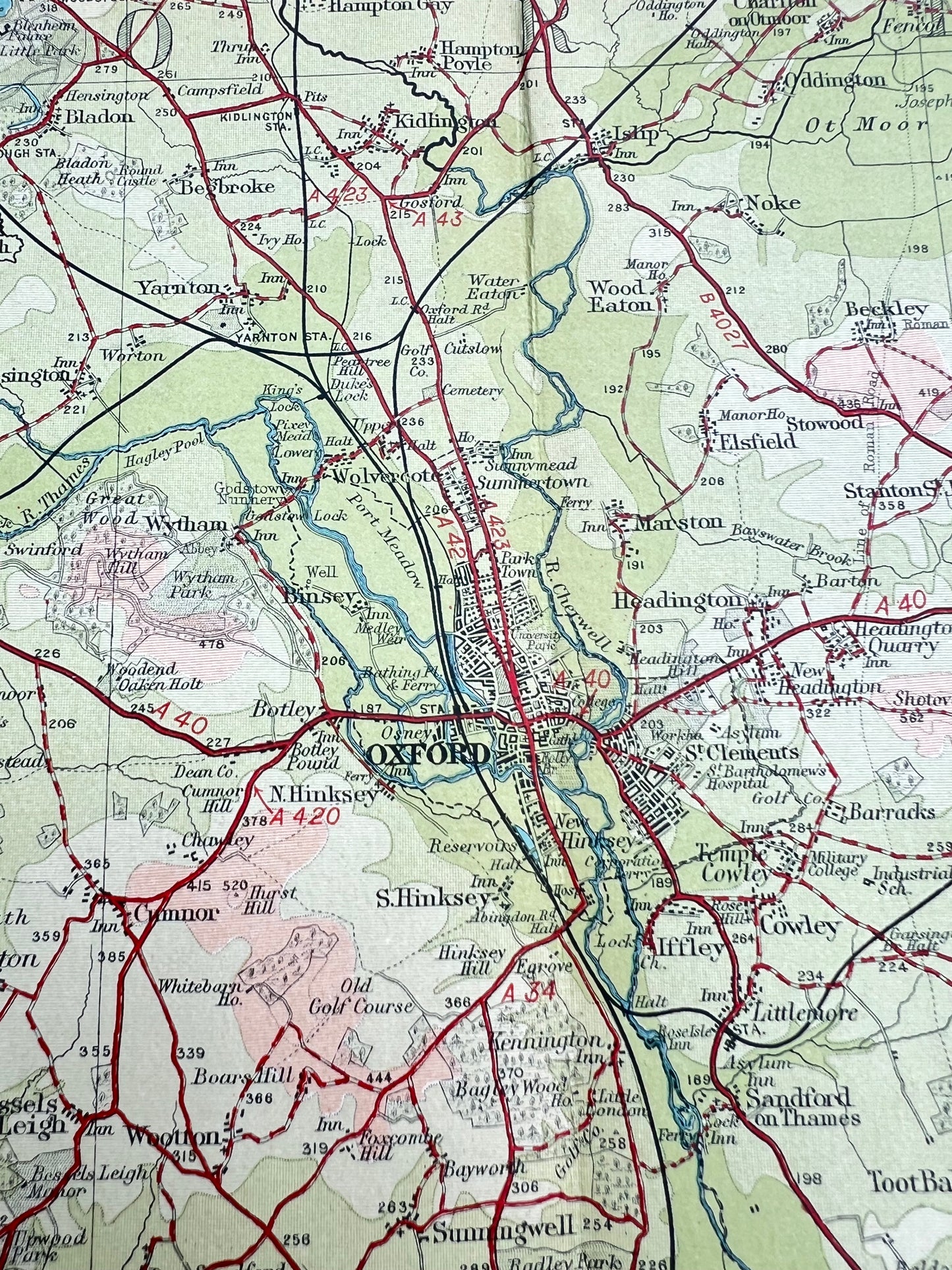
Early 1940s Map of OXFORDSHIRE on Cloth
Early 1940s Map of OXFORDSHIRE on Cloth
Regular price
£6.00
Regular price
Sale price
£6.00
Unit price
/
per
Tax included.
Shipping calculated at checkout.
Couldn't load pickup availability
Bartholomew’s Revised "Half-Inch" Contoured Map of OXFORDSHIRE (Sheet 24)
Colour printed cloth backed, Scale Half Inch to a Mile
Original price three shillings
Lots of fascinating details - hospitals, industries, schools, stately homes and other long gone landmarks
At the top shows the area between Alcester and Northampton and at the bottom just south to the area between Cirencester and Princes Risborough, including a tiny Abingdon.
Good condition, just a few holes at the corner of the folds.
Share


