-
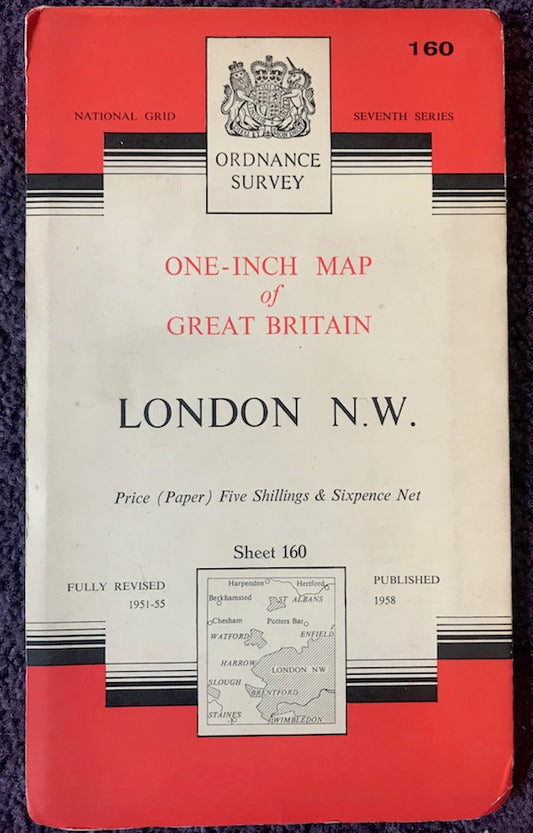
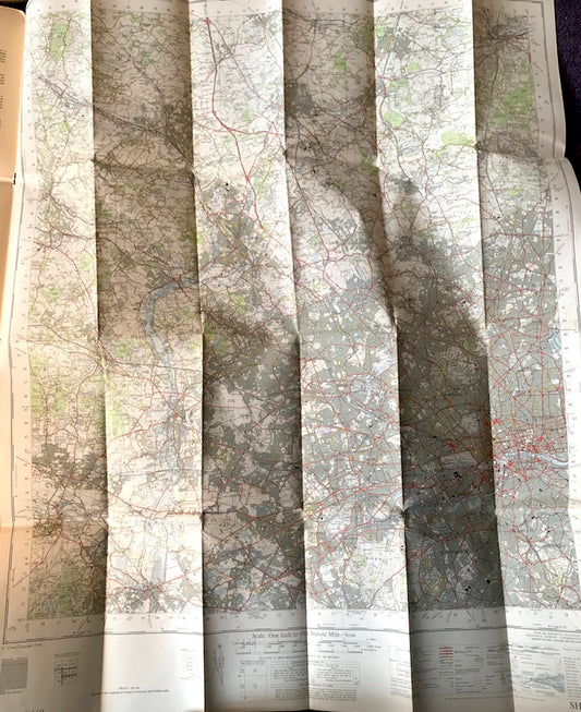
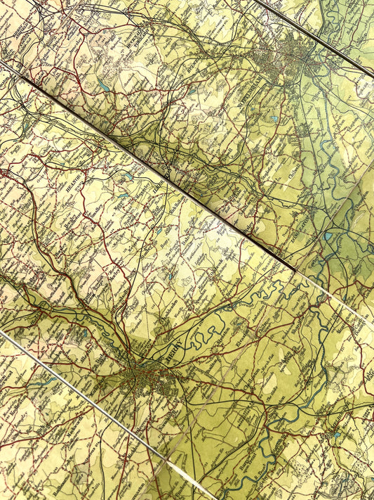
Fascinating 1940s and 50s ORDNANCE SURVEY MAPS of N.W. LONDON, Middlesex + Hertfordshire 1" to 1 Mile
Regular price From £3.50Regular priceUnit price per -
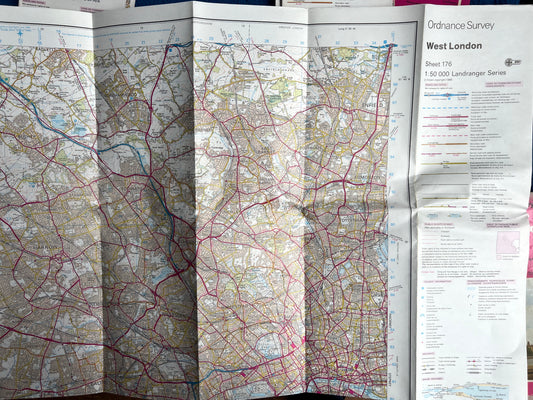
1974 - 1995 ORDNANCE SURVEY Maps of WEST LONDON SHEET 176
Regular price From £2.00Regular priceUnit price per -
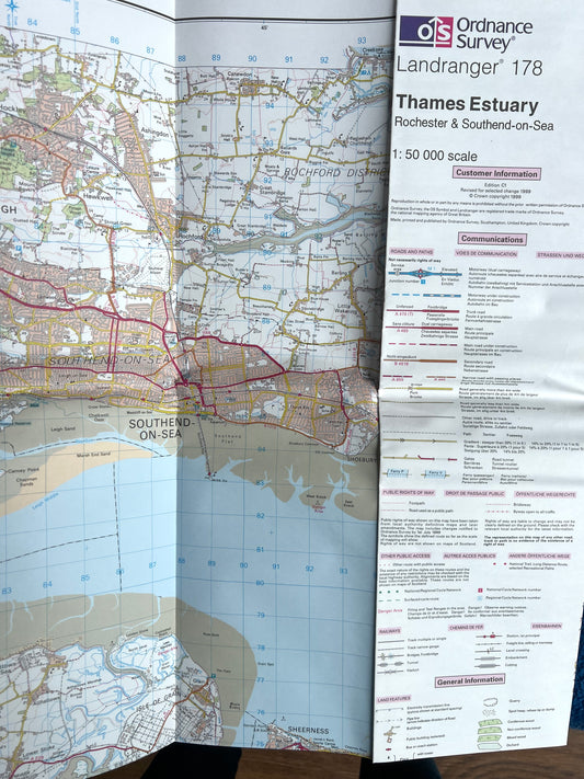
1974 to 1999 ORDNANCE SURVEY Map of THE THAMES ESTUARY SHEET 178
Regular price From £2.00Regular priceUnit price per -
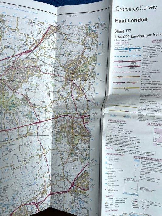
1982 to 1996 ORDNANCE SURVEY Map of EAST LONDON Sheet 177
Regular price From £2.00Regular priceUnit price per -
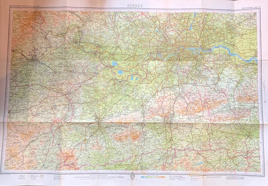
Fascinating 1940s Map of Surrey including London
Regular price From £2.00Regular priceUnit price per -
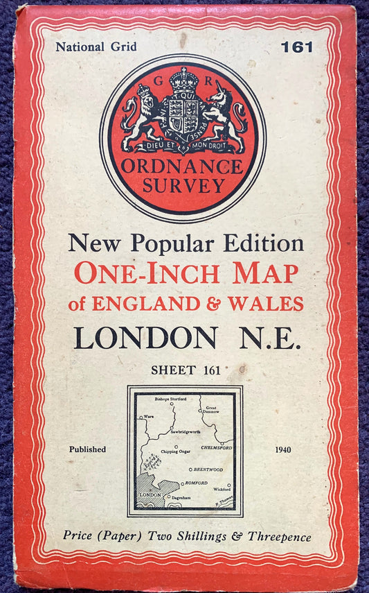
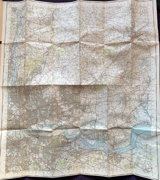
Very Interesting 1950s and 60s ORDNANCE SURVEY MAPs of N.E LONDON into Hertfordshire & Essex 1" to 1 Mile
Regular price From £4.50Regular priceUnit price per -
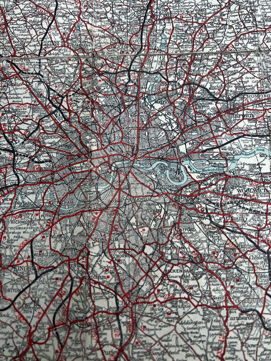
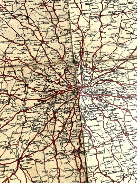
1930s Geographia 50 MILES ABOUT LONDON
Regular price £3.00Regular priceUnit price per -
1920s CYCLING Map of the Country Around LONDON on Cloth
Regular price £3.00Regular priceUnit price per -
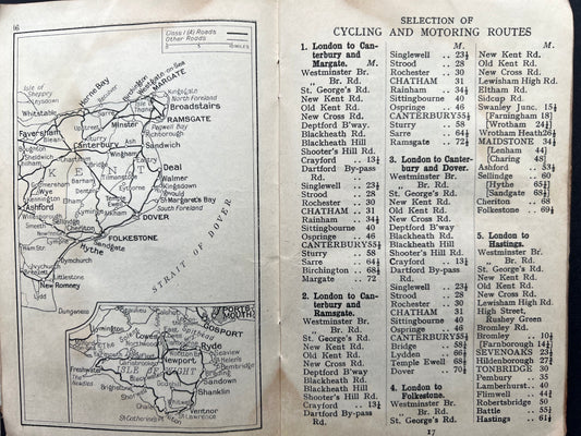
Early C20th Bacons Pocket Atlas 70 MILES ROUND CROYDON for Cyclists & Motorists
Regular price £6.50Regular priceUnit price per -
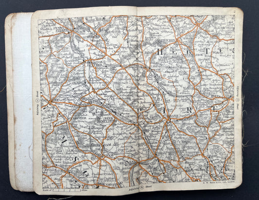
1930s Geographia 100 Miles Round LONDON Road Atlas and Route Guide
Regular price £3.00Regular priceUnit price per -
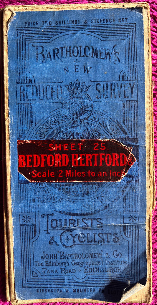
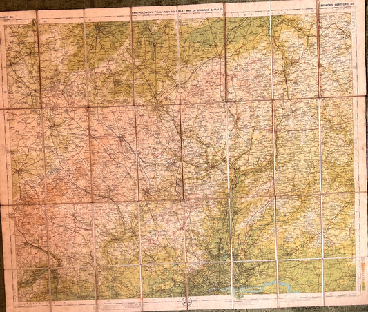
1900s Bartholomew’s Map of Bedford and Hertford Sheet 25.
Regular price £5.50Regular priceUnit price per -
Bartholomew's New Reduced Survey. Sheet 4. Durham. Scale 2 Miles to an Inch.
Regular price £6.00Regular priceUnit price per -
1920s Bartholomew's Map of NORFOLK (Sheet 15)
Regular price £4.50Regular priceUnit price per -
1920s Bartholomew's Dissected Cloth Map of DERBY and NOTTINGHAM Sheet 13
Regular price £7.50Regular priceUnit price per -
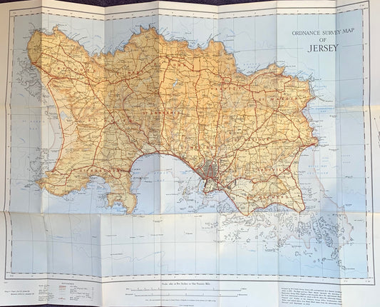
1933 2" to 1 mile Paper Ordnance Survey Map of Jersey
Regular price £5.50Regular priceUnit price per -
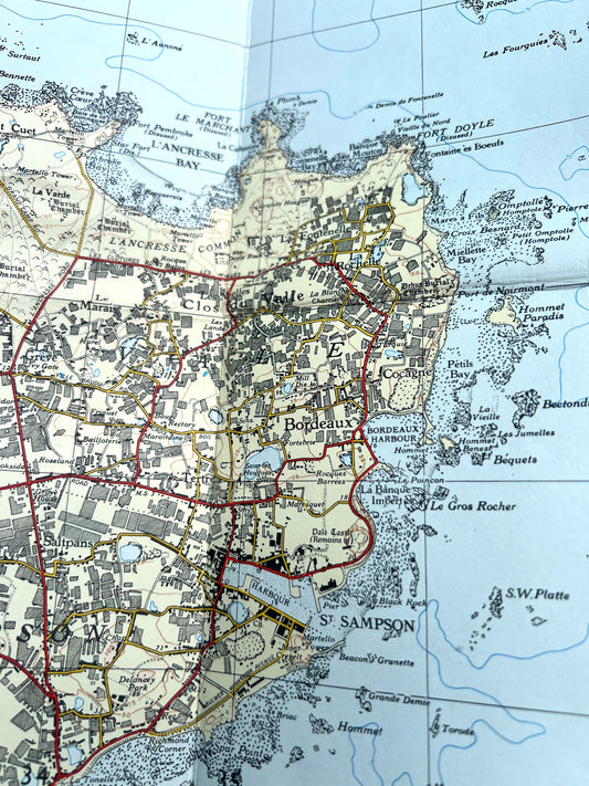
1958 Cloth Backed 3" to 1 mile Ordnance Survey Map of Guernsey Revisions to 1955/6
Regular price £6.50Regular priceUnit price per