-
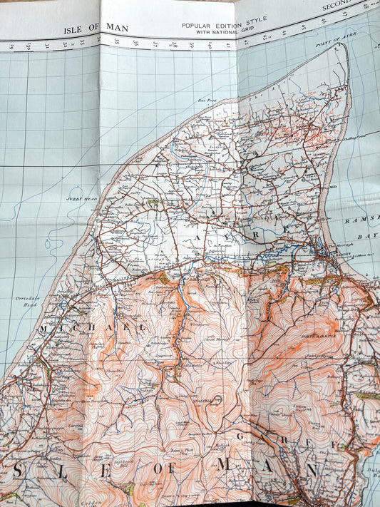
1940 Cloth Backed 1" to 1 mile Ordnance Survey Map of Isle of Man Revisions to 1955/6
Regular price £6.50Regular priceUnit price per -
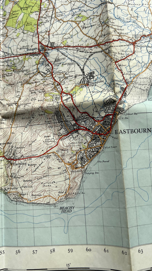
1940s One Inch ORDNANCE SURVEY Map of Eastbourne on Paper
Regular price £6.00Regular priceUnit price per -
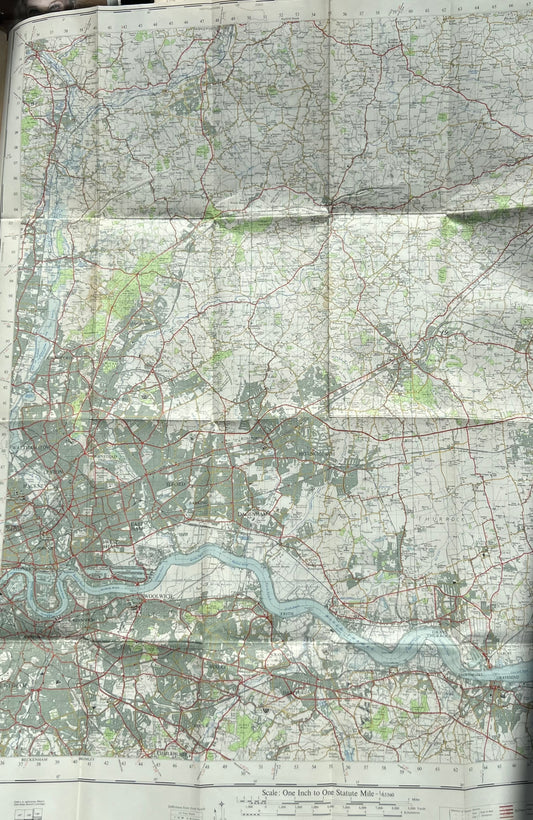
1950s One Inch ORDNANCE SURVEY Map of London N.E. on Paper No 161
Regular price £6.50Regular priceUnit price per -
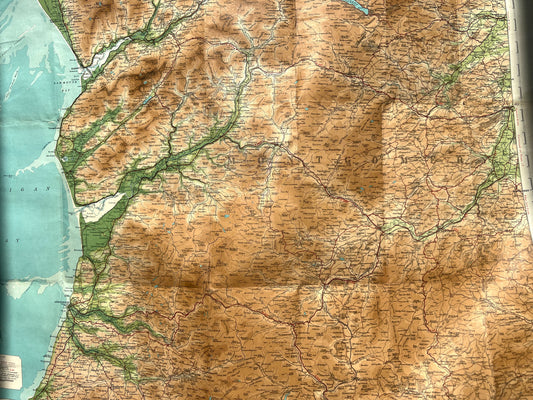
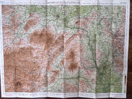
1925 Bartholomew's Half Inch Contoured Map of CENTRAL WALES Sheet 16
Regular price £4.50Regular priceUnit price per -
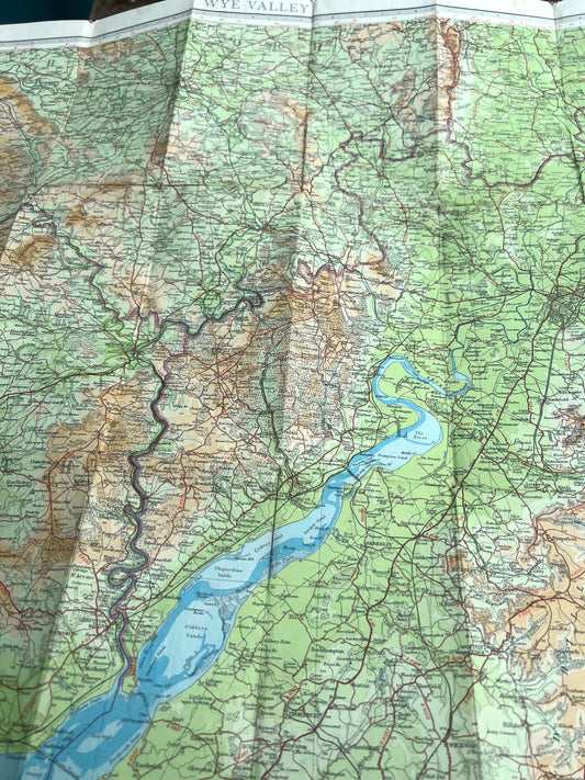
1948 or 1961 Bartholomew's Half Inch Contoured Map of The WYE VALLEY Sheet 13
Regular price From £5.50Regular priceUnit price per -
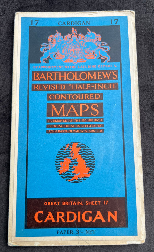
1950s Bartholomew's Half Inch Contoured Maps of CARDIGAN Sheet 17
Regular price From £3.00Regular priceUnit price per -
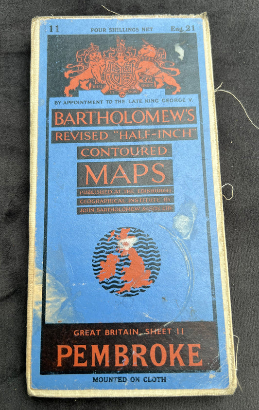
1950s Bartholomew's Half Inch Contoured Maps of PEMBROKE Sheet 11
Regular price From £2.50Regular priceUnit price per -
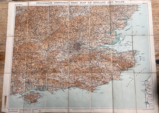
1909 Stanford's Map of SOUTH EAST ENGLAND (Sheet 5)
Regular price £8.00Regular priceUnit price per -
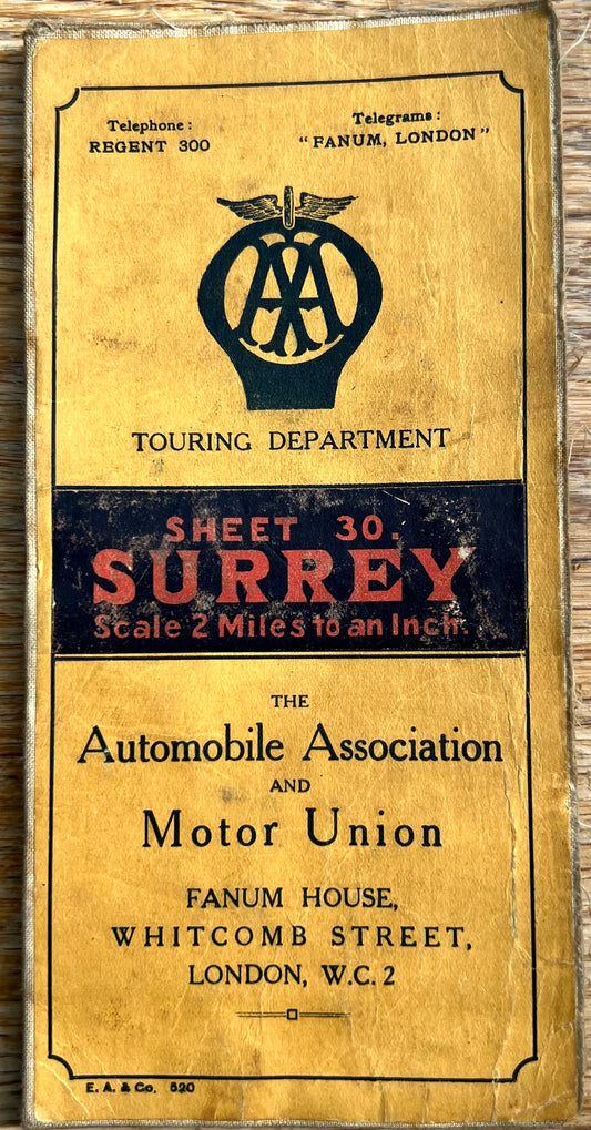
Early 1900s Dissected Cloth AA Map of Surrey 2 miles to 1"
Regular price £6.50Regular priceUnit price per -
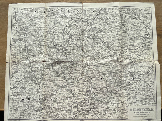
Early Bartholomew Map of BIRMINGHAM
Regular price £3.50Regular priceUnit price per -
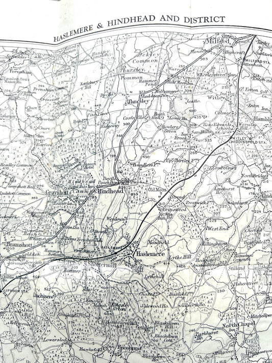
1940s Guide for Ramblers and Motorists to Hindhead, Haslemere and District
Regular price £3.00Regular priceUnit price per -
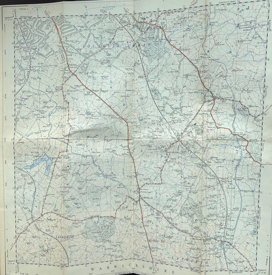
1947 Ordnance Survey 2.5" to mile of SOLIHULL Sheet42/17
Regular price £4.50Regular priceUnit price per -
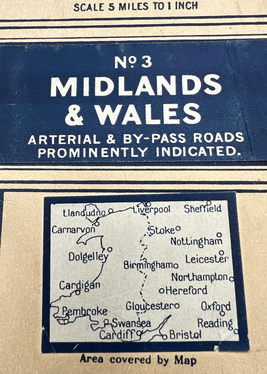
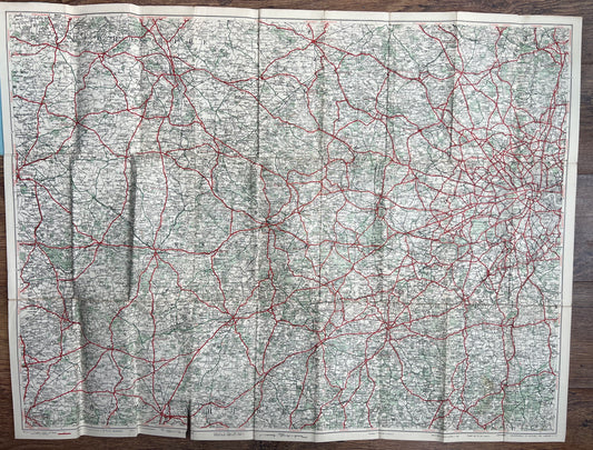
1940/50s Geographica Numbered Road Touring MAP No 3 MIDLANDS and WALES
Regular price £3.00Regular priceUnit price per -
1950s SARGENTS 2 Miles to 1" Cloth Map of 30 MILES ROUND READING
Regular price £5.00Regular priceUnit price per -
Reprint of 1st Edition (1811) of 1" Ordnance Survey Sheet 86 Southampton and Portsmouth
Regular price £3.50Regular priceUnit price per -
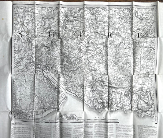
1930s/40s Bartholomews Map of SHROPSHIRE on Cloth
Regular price £6.50Regular priceUnit price per