-
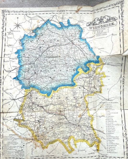
Fascinating 1800s Political Map of WILTSHIRE with it's RAILWAYS
Regular price £20.00Regular priceUnit price per -
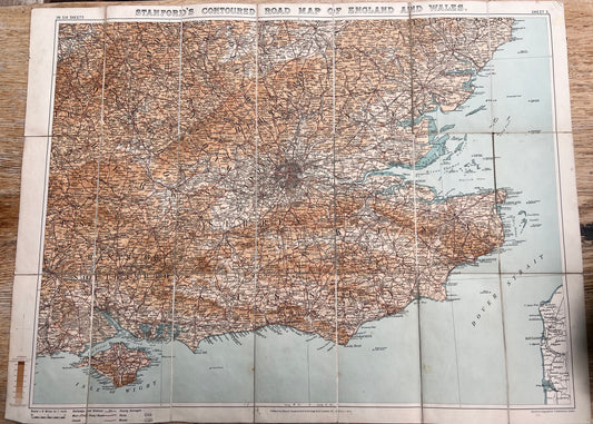
1909 Stanford's Map of SOUTH EAST ENGLAND (Sheet 5)
Regular price £8.00Regular priceUnit price per -
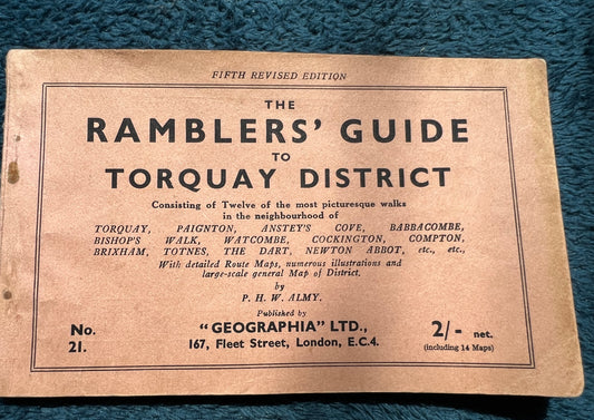
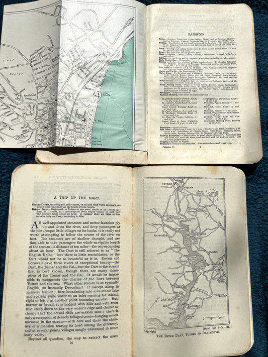
1930s/40s RAMBLERS' GUIDE to TORQUAY DISTRICT
Regular price £6.00Regular priceUnit price per -
1920s Ward Lock Red Guide to TORQUAY AND SOUTH DEVON
Regular price From £4.00Regular priceUnit price per -
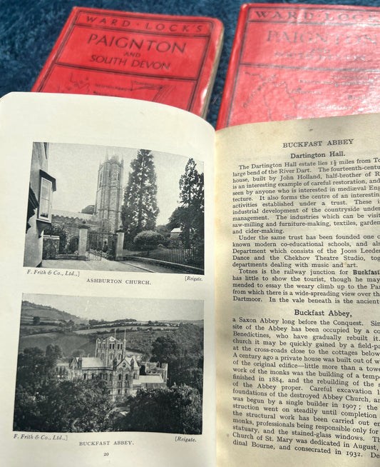
1930s/40s Ward Lock Red Guide to PAIGNTON AND SOUTH DEVON
Regular price £4.50Regular priceUnit price per -
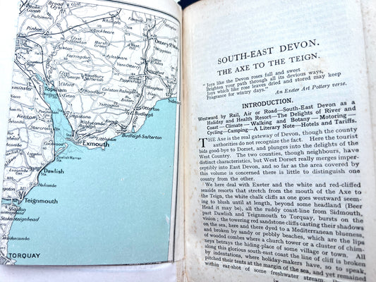
1930s Ward Lock Red Guide to EXETER AND SOUTH EAST DEVON
Regular price £4.50Regular priceUnit price per -
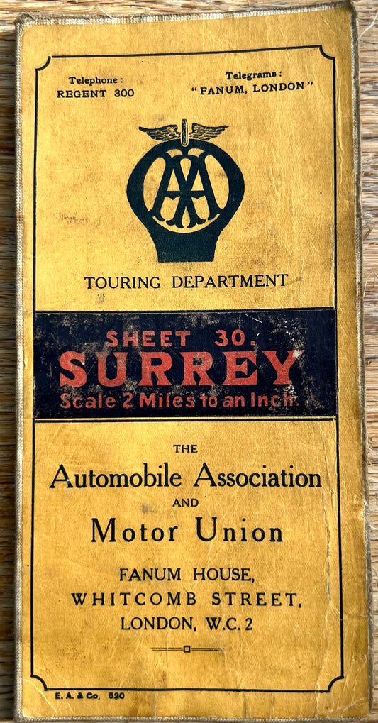
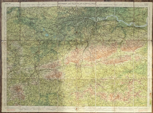
Early 1900s Map of Surrey Bartholomews /AA
Regular price £6.00Regular priceUnit price per -
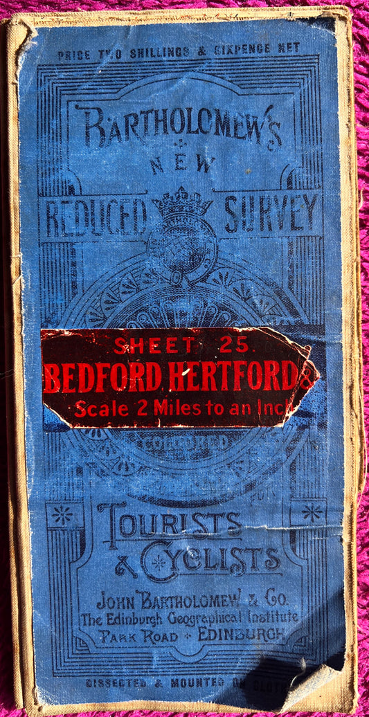
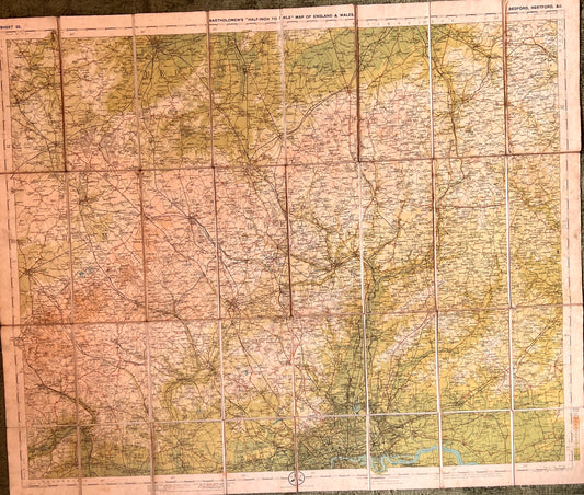
1900s Bartholomew’s Map of Bedford and Hertford Sheet 25.
Regular price £5.50Regular priceUnit price per -
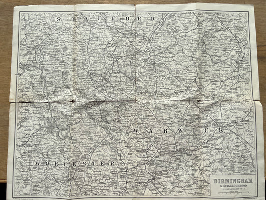
Early Bartholomew Map of BIRMINGHAM
Regular price £3.50Regular priceUnit price per -
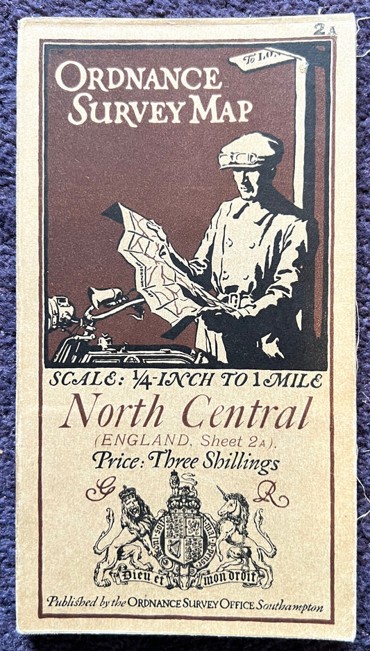
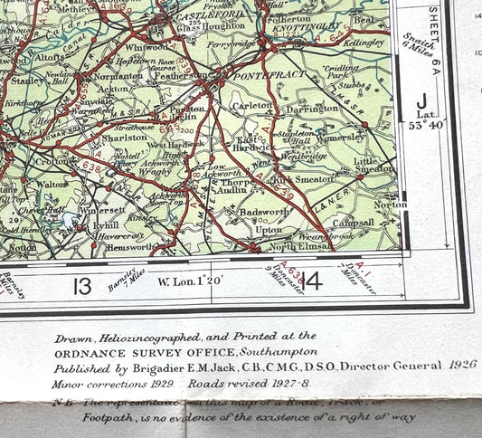
Detailed 1920s ORDNANCE SURVEY Contoured MAP of North Central England incl WESTMORELAND, NORTH YORKSHIRE, NORTH WEST LANCASHIRE
Regular price £7.50Regular priceUnit price per -
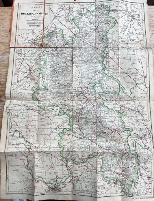
Detailed 1930s Map of Buckinghamshire
Regular price £6.50Regular priceUnit price per -
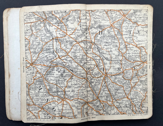
Early C20th Bacons Pocket Atlas 70 MILES ROUND CROYDON for Cyclists & Motorists
Regular price £6.50Regular priceUnit price per -
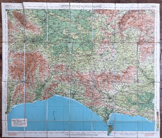
1920s Bartholomew's Map of DORSET and SOMERSET(Sheet 34)
Regular price £7.50Regular priceUnit price per -
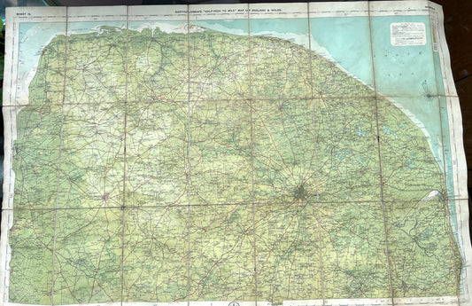
1920s Bartholomew's Map of NORFOLK (Sheet 15)
Regular price £4.50Regular priceUnit price per -
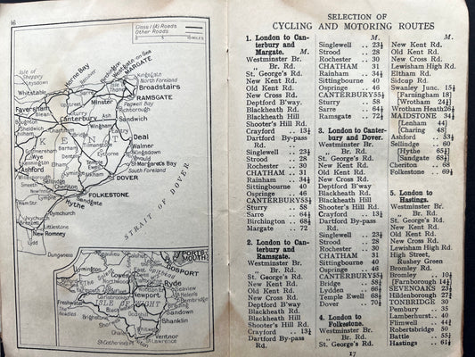
1930s Geographia 100 Miles Round LONDON Road Atlas and Route Guide
Regular price £3.00Regular priceUnit price per -
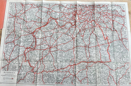
Fascinating 1940s Geographia Map of SURREY
Regular price £4.50Regular priceUnit price per
